• At least six tornadoes confirmed after derecho sweeps through Iowa, Illinois and Indiana

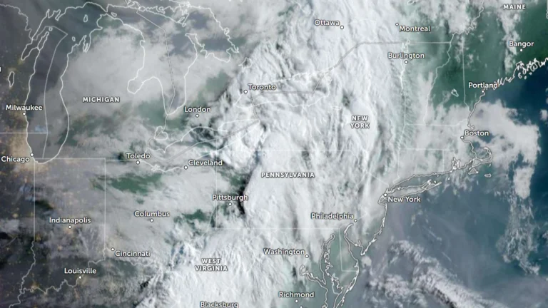
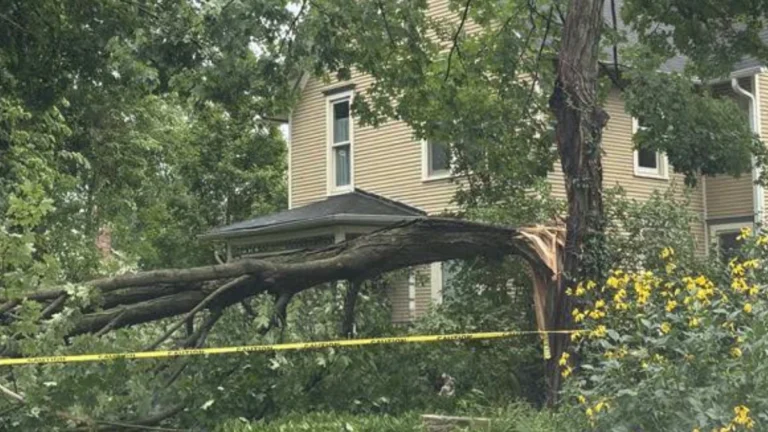
    At least six tornadoes were confirmed after a preliminary derecho swept from eastern Iowa through northern Illinois and into northern Indiana on August 11, 2026. Three EF1 tornadoes were confirmed in Delaware County, Iowa, while three additional tornadoes produced preliminary EF1-level damage in the Chicago area, with two continuing into Lake County, Indiana. The derecho produced a maximum measured gust of 160 km/h (99 mph) at Gary, Indiana.

  • Severe storms leave at least two dead, spawn at least six tornadoes, and cause flooding across the Midwest and Ohio Valley

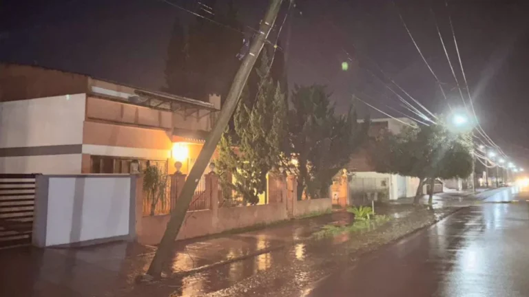
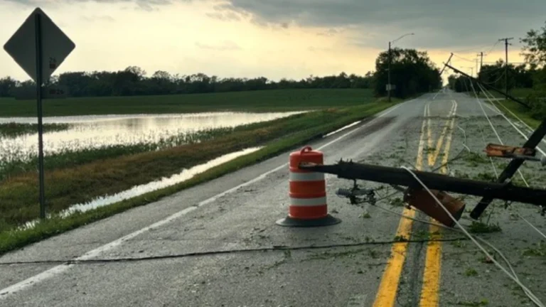
    At least two people died and more than 800 000 utility customers across Illinois, Indiana, Ohio and Kentucky were without power at 00:00 EDT on August 12 (04:00 UTC on August 12) after severe storms swept the Midwest and Ohio Valley on August 11, 2026. Sixteen incarcerated people were transported to hospitals for treatment after a reported lightning strike at an Ohio correctional facility. At least six tornadoes were confirmed in association with a system that the Storm Prediction Center preliminarily classified as a derecho, while additional rounds of storms brought destructive winds and flooding to Ohio.

  • Multiple water rescues conducted as severe storms bring 115 km/h (70 mph) wind threat to flood-hit Perry County, Ohio

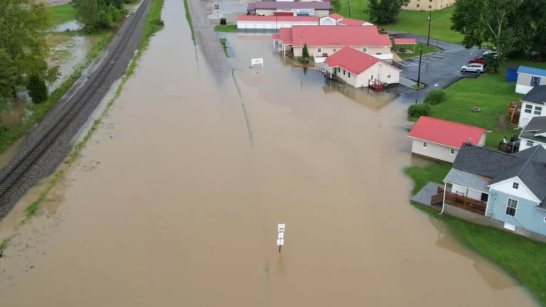
    Severe thunderstorms with radar-indicated wind gusts of up to 115 km/h (70 mph) crossed Perry County, Ohio, late in the morning of August 11, 2026, after parts of Perry and Morgan counties received 127–178 mm (5–7 inches) of rain overnight. Multiple water rescues were conducted while Flash Flood Warnings remained in effect following an overnight Flash Flood Emergency.

  • Enhanced Risk of severe thunderstorms from northern Illinois into the Ohio Valley

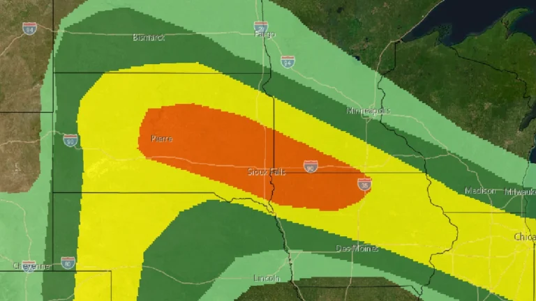
    The Storm Prediction Center (SPC) issued an Enhanced Risk of severe thunderstorms from northern Illinois into the Ohio Valley for August 11, 2026, with damaging winds the primary threat. A potentially organized mesoscale convective system moving southeast from Iowa could produce a swath of damaging gusts, including some above 120 km/h (75 mph), if it remains well organized.

  • Frontal system leaves 2 dead and 5 550 homes damaged or destroyed in Chile

    A frontal system that affected central and southern Chile between August 1 and 2, 2026, left two people dead, 1 399 affected, 156 in shelters and 536 isolated as of August 3. Ten red alerts and 10 yellow alerts remained active because of rising rivers and overflow risks, while authorities reported 5 550 homes damaged or destroyed and 23 104 customers without electricity.

  • New Jersey man killed by lightning during severe thunderstorms

    A 32-year-old man was killed after being struck by lightning in Monroe Township, New Jersey, on Tuesday, July 29, 2026, as severe thunderstorms swept across the state, bringing dangerous cloud-to-ground lightning, torrential rainfall, flash flooding, and widespread disruptions. The fatality occurred as another round of severe weather affected New Jersey, following multiple storm systems earlier this month that caused widespread flooding, extensive power outages, and significant damage to transportation infrastructure.

  • Moderate Risk of excessive rainfall issued for parts of the Northeast, U.S.

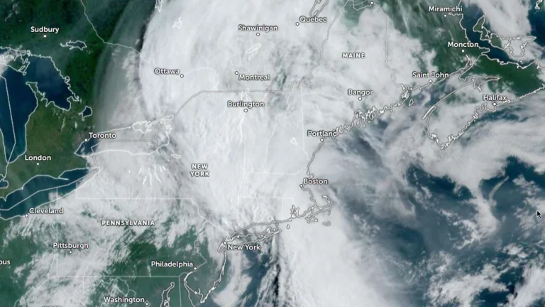
    The Weather Prediction Center (WPC) has issued a Moderate Risk (Level 3 of 4) of excessive rainfall for portions of the northeastern United States on Wednesday, July 29, 2026. Repeated rounds of heavy rainfall could produce significant and potentially life-threatening flooding across parts of eastern New York, western Massachusetts, southern Vermont, and adjacent areas of Connecticut.

  • Moderate Risk of excessive rainfall issued for Tri-State area as heavy rain threatens parts of the Northeast

    A Moderate Risk of excessive rainfall and potentially significant flash flooding is in effect for parts of New Jersey, New York, and Connecticut on Tuesday, July 28, 2026 as an unusually strong upper-level low develops over the Northeast. The National Weather Service’s Weather Prediction Center warns that repeated thunderstorms may produce rainfall rates of up to 51 mm (2 inches) per hour, with the greatest threat centered on the New York City tri-state region.