• Heavy rainfall and flash flooding forecast across Texas, the Gulf Coast, and the Appalachians

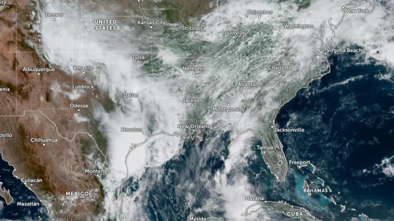
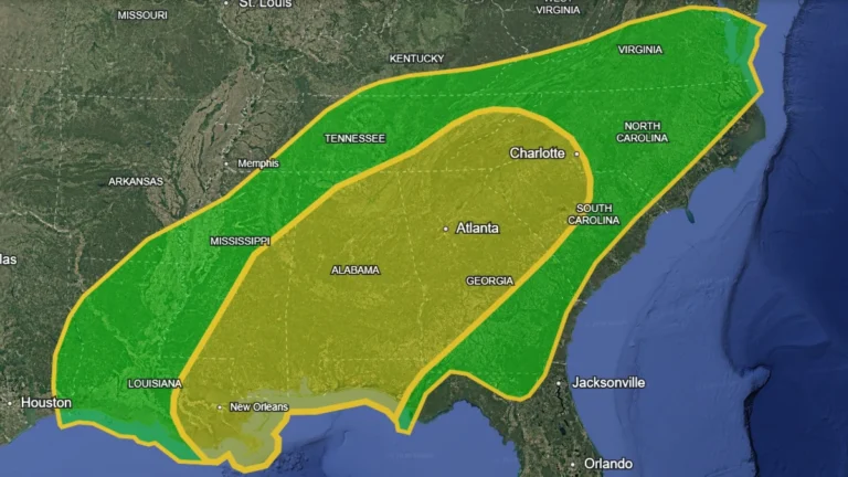
    A Slight Risk area for excessive rainfall remains in effect across southeast Texas, the central Gulf Coast, and parts of the Ohio Valley into the central Appalachians where slow-moving thunderstorms may produce flash flooding over saturated ground through May 27. Deep Gulf moisture and a slow-moving weather pattern are forecast to fuel multiple rounds of heavy rain from southeast Texas to the central Appalachians, increasing the risk of flash flooding in vulnerable areas through late week

  • Woman killed after SUV swept away by flash flood in Petal, Mississippi

    A woman was killed after her SUV was swept away by floodwaters in Petal, Mississippi, as severe storms triggered widespread flooding across Forrest and Lamar counties on May 25, 2026. Up to 152 mm (6 inches) of rain fell over parts of southern Mississippi, with floodwaters rising up to 3.7 m (12 feet) in Petal at the storm’s peak.

  • Severe storms trigger damaging tornado and flooding in Puebla, Mexico

    A damaging tornado impacted the municipalities of San Nicolás Buenos Aires and Tlachichuca in Puebla, Mexico, on May 18, 2026, as severe storms produced flash flooding and hail damage across parts of central Mexico. Floodwaters reached depths of 50 cm (19.7 inches) on some streets, while hail damaged vegetable and potato crops in Quecholac and nearby communities.

  • PDS tornado watch followed by 19 tornado reports, large hail and damaging winds across central U.S.

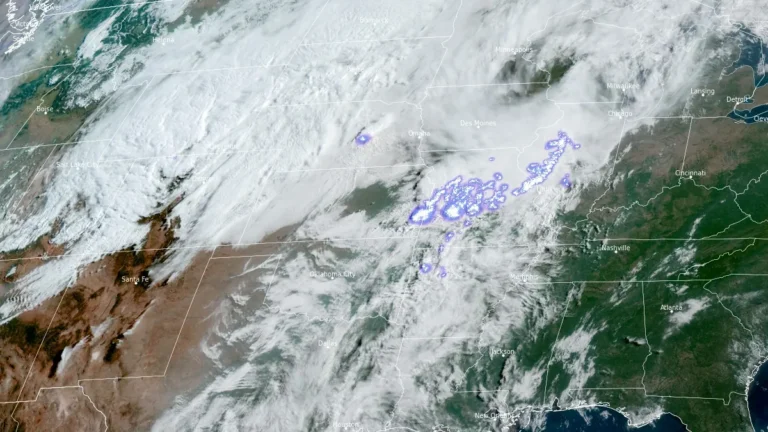
    A Particularly Dangerous Situtation (PDS) Tornado Watch issued for northeast Kansas and southeast Nebraska on May 18, 2026, was followed by multiple tornado reports, hail up to about 7 cm (2.75 inches), and damaging wind reports across the central U.S. Preliminary SPC storm reports included 19 tornadoes, damage to farm structures, grain bins, trees, and power lines.

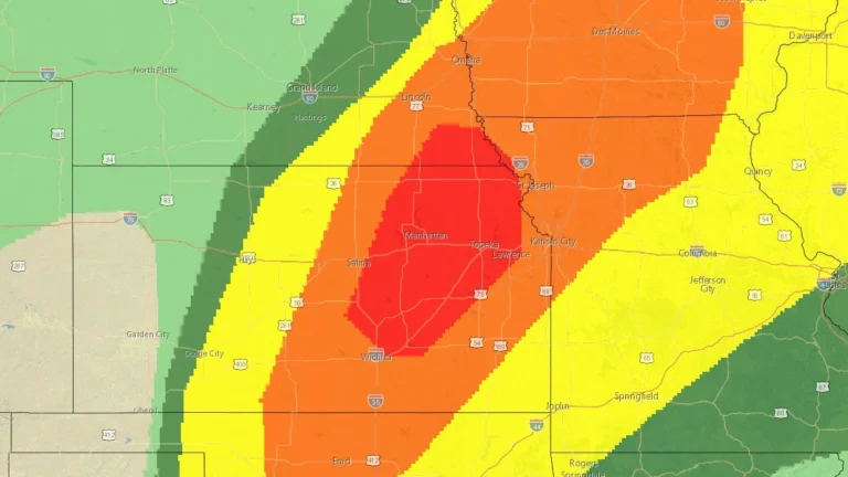
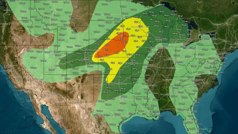
  • SPC issues Moderate Risk for strong to intense tornadoes and giant hail across Kansas and Nebraska

    The Storm Prediction Center (SPC) placed portions of central and northeastern Kansas into far southeastern Nebraska under a Moderate Risk for severe thunderstorms on Monday, May 18, 2026. Supercells are forecast to produce all severe hazards, including 5–10+ cm (2–4+ inches) hail and strong to intense tornadoes, mainly from central Kansas into southeastern Nebraska.