




Featured


Space
Most read – 7 days

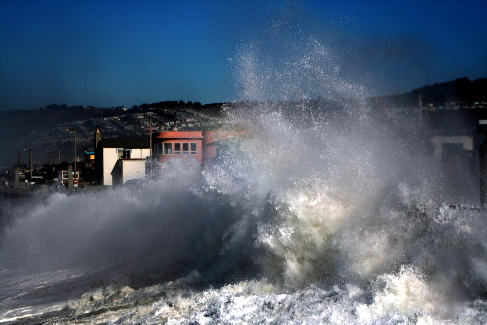
Updates from watchers.LIVE
Latest updates from watchers.LIVE — events, alerts, and monitoring notes.
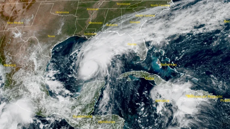
10 named storms, one hurricane for the first time since 1925: Why has the Atlantic been so quiet in 2026
The Atlantic could finish 2026 with just one hurricane for the first time since 1925.…
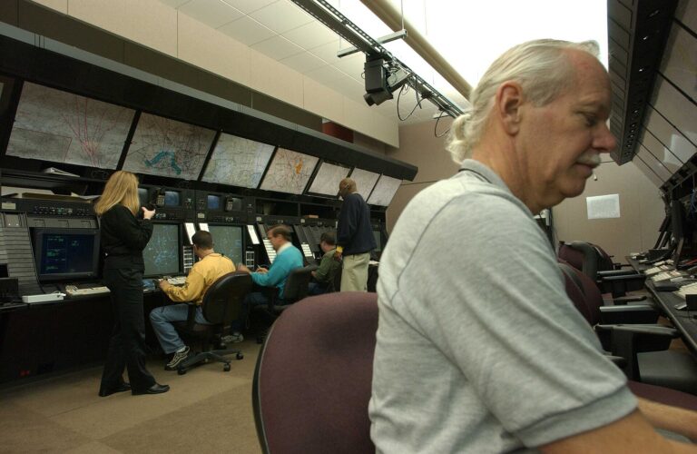
Second nationwide US flight halt since 9/11: how the November 13 FAA ground stop compares with September 2001 and January 2023
The November 13, 2026, FAA order halting all US departures is only the second nationwide…
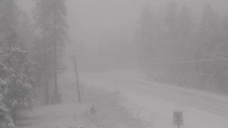
A 19-year-old Nebraska teacher reportedly tied her pupils together with twine and led them to safety through a blizzard in January 1888
On January 12, 1888, a violent blizzard tore the roof from a rural Nebraska schoolhouse,…
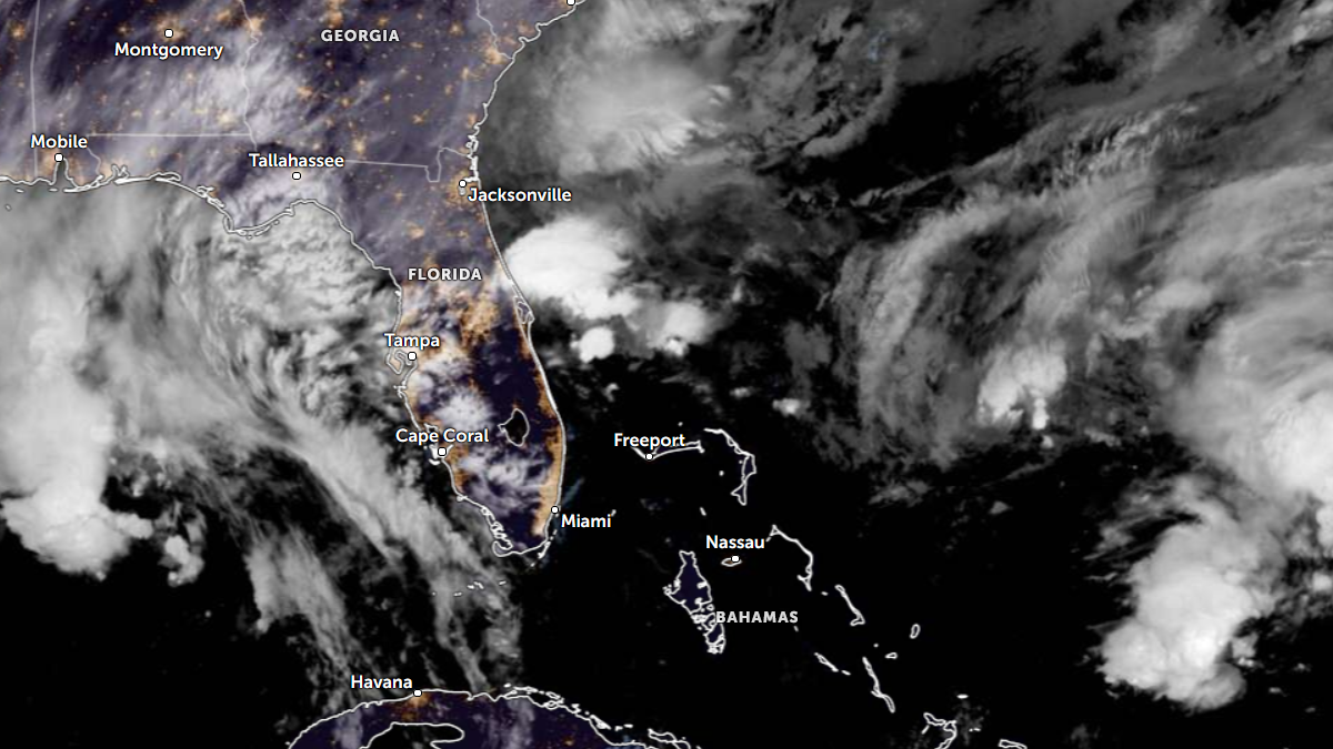
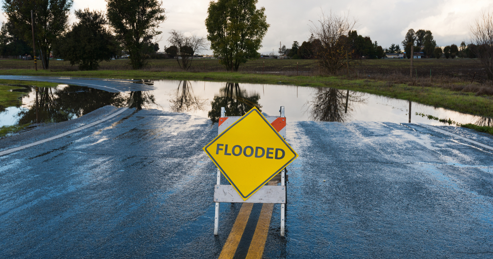
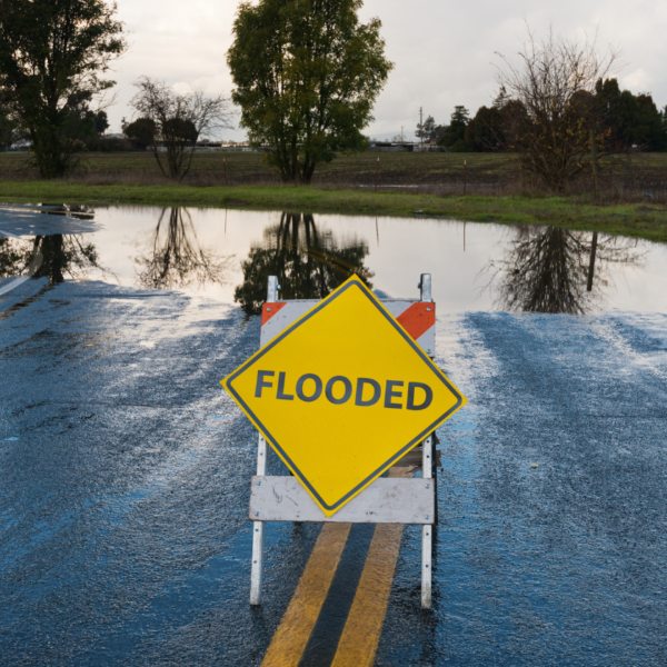
High Risk of excessive rainfall covers Florida’s Space Coast as St. Johns River near Cocoa reaches 5.67 m
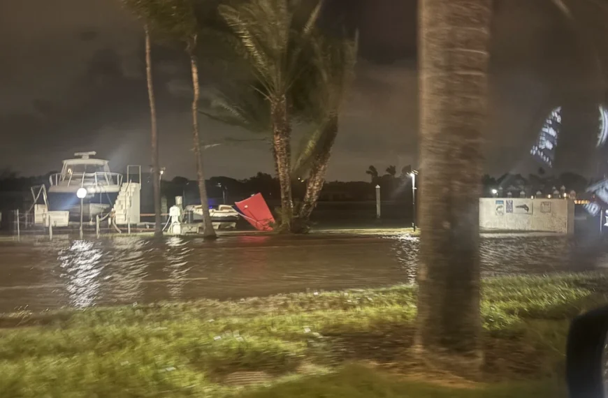
Parts of Florida’s east coast between Daytona Beach and Melbourne face a High Risk of excessive rainfall from 12:00 UTC Friday, November 20, through…
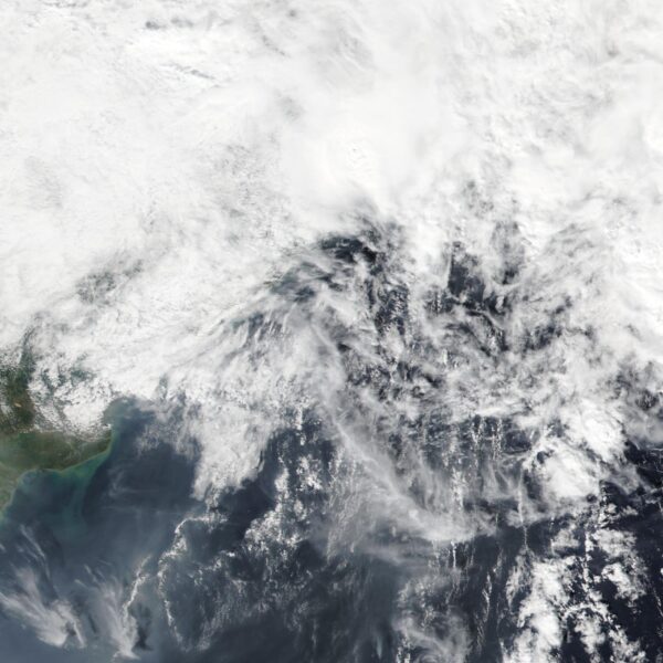
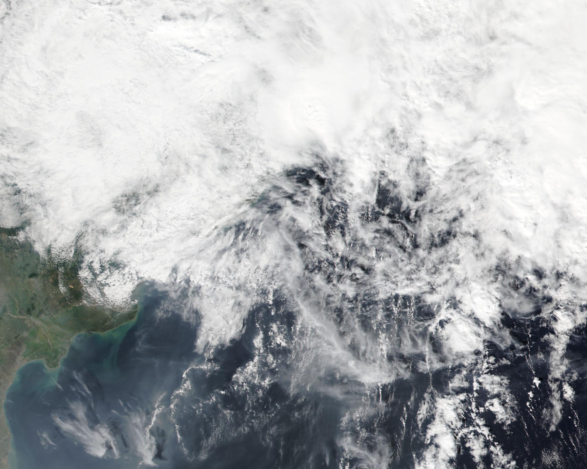
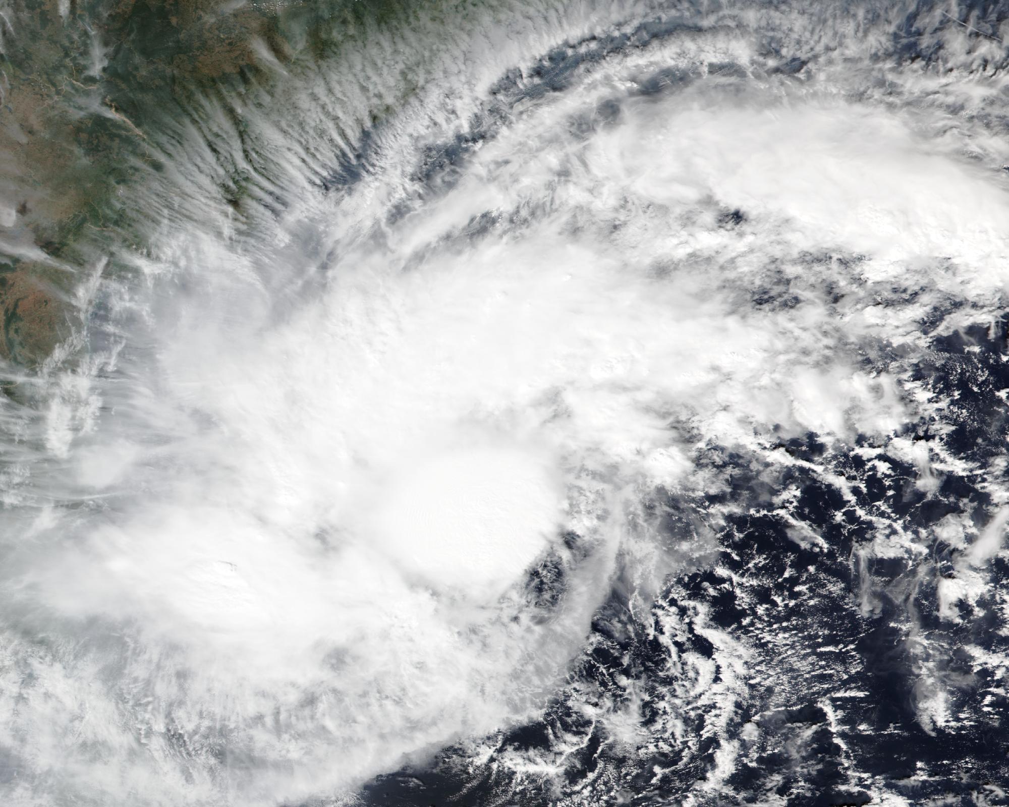
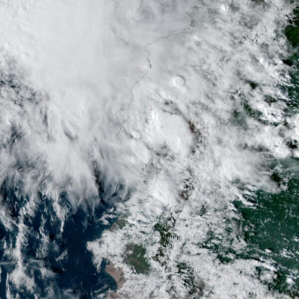
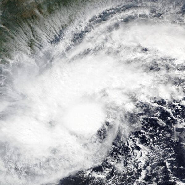
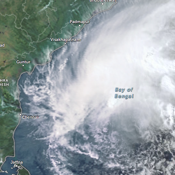
Cyclone Akvan weakens after landfall near Gopalpur; more than 300 000 evacuated in Odisha, India
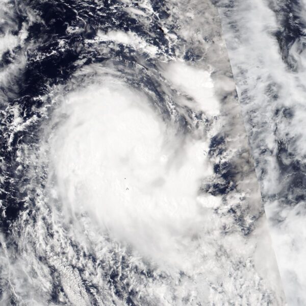
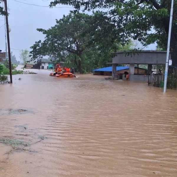
Cyclone Akvan crossed the north Andhra Pradesh and south Odisha coasts near Gopalpur between 02:00 and 03:00 UTC (07:30–08:30 IST) on November 20, 2026,…
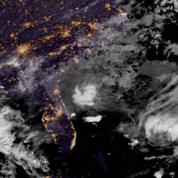
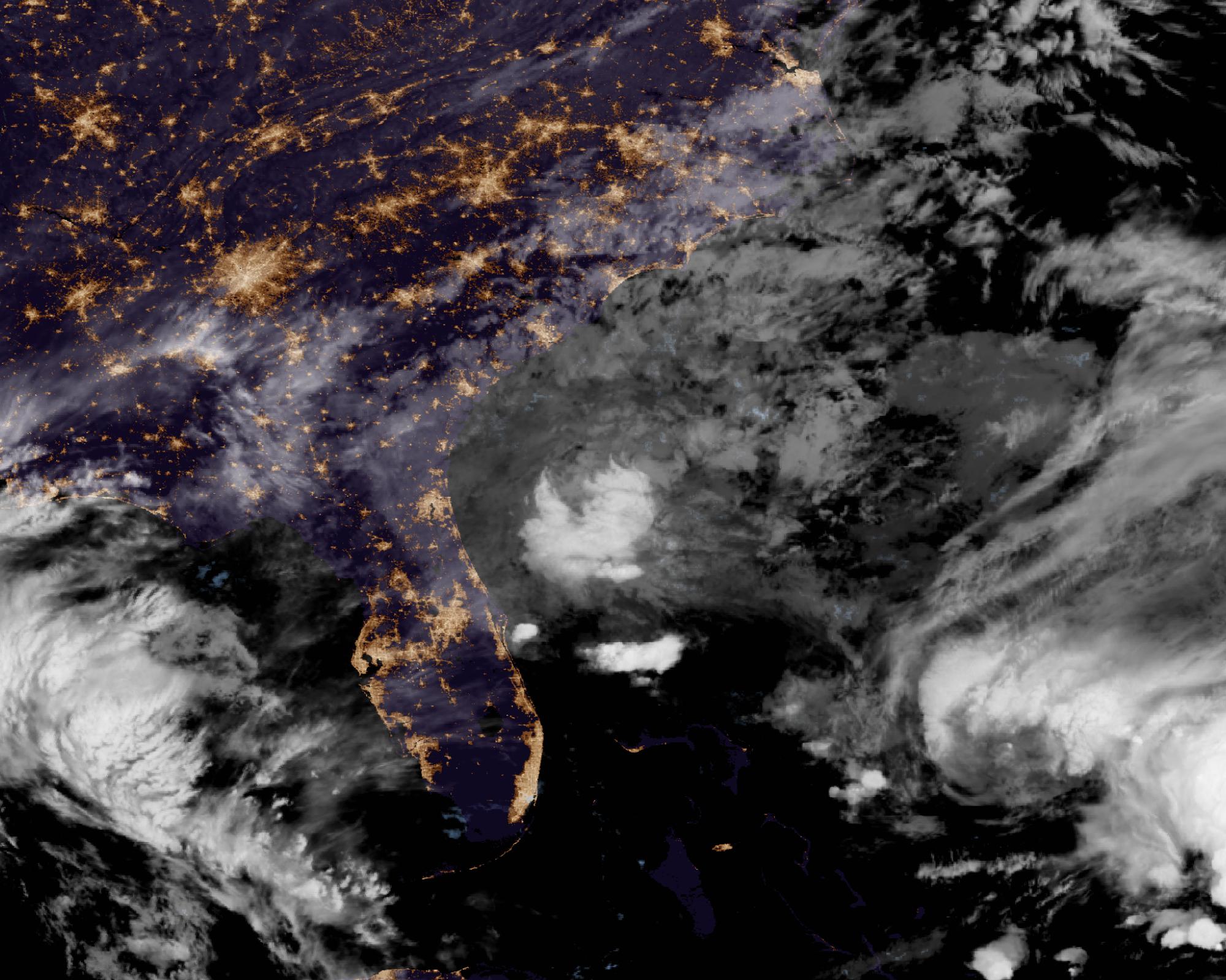
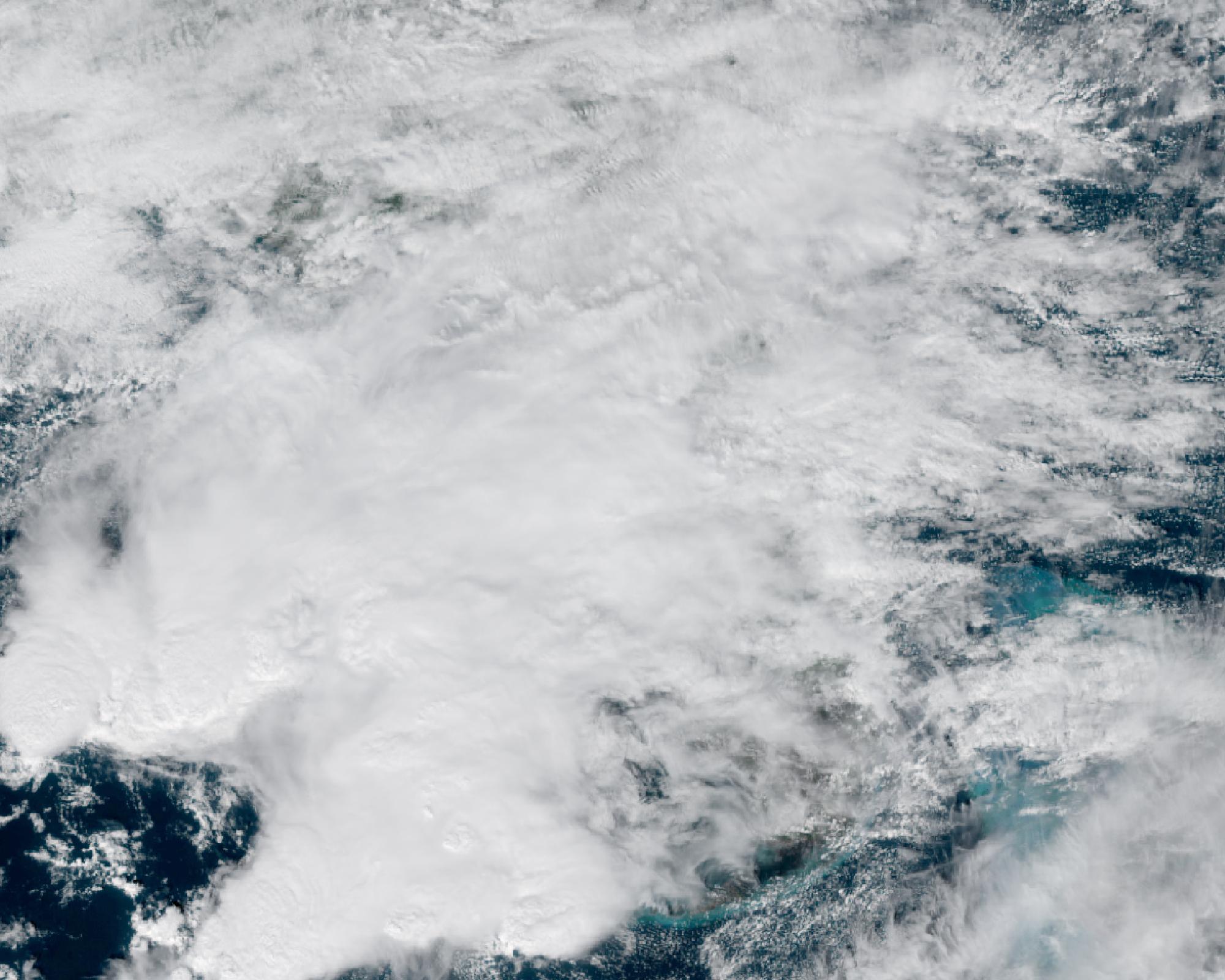
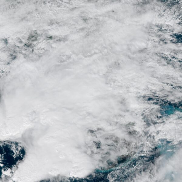
A broad low over southeastern Florida and the northwestern Bahamas has a 30 percent chance of subtropical or tropical development within 48 hours and a 50 percent chance within 7 days, the National Hurricane Center says
The National Hurricane Center said a broad low over southeastern Florida, the northwestern Bahamas and adjacent waters has a 30 percent chance of becoming…
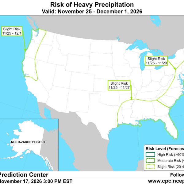
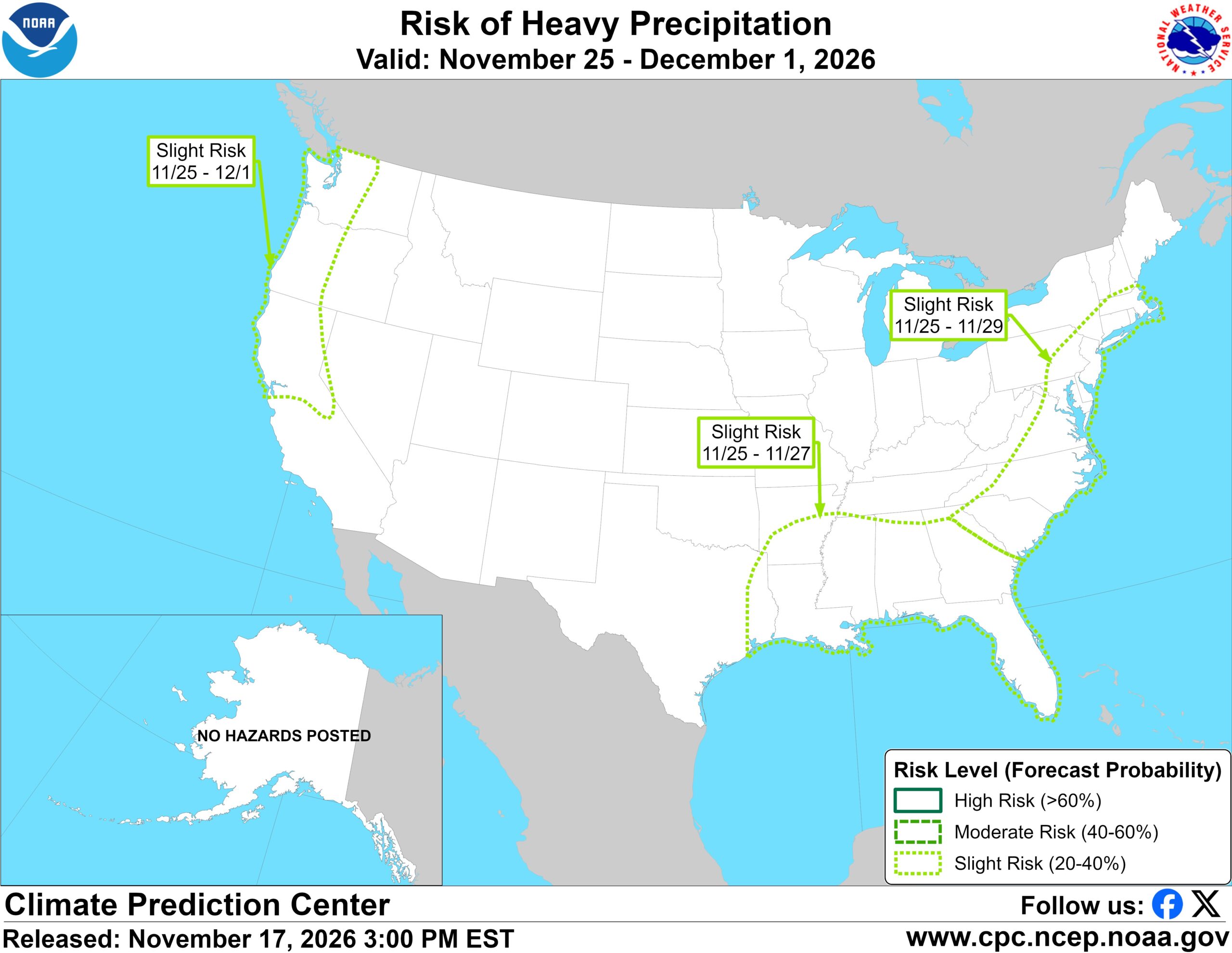
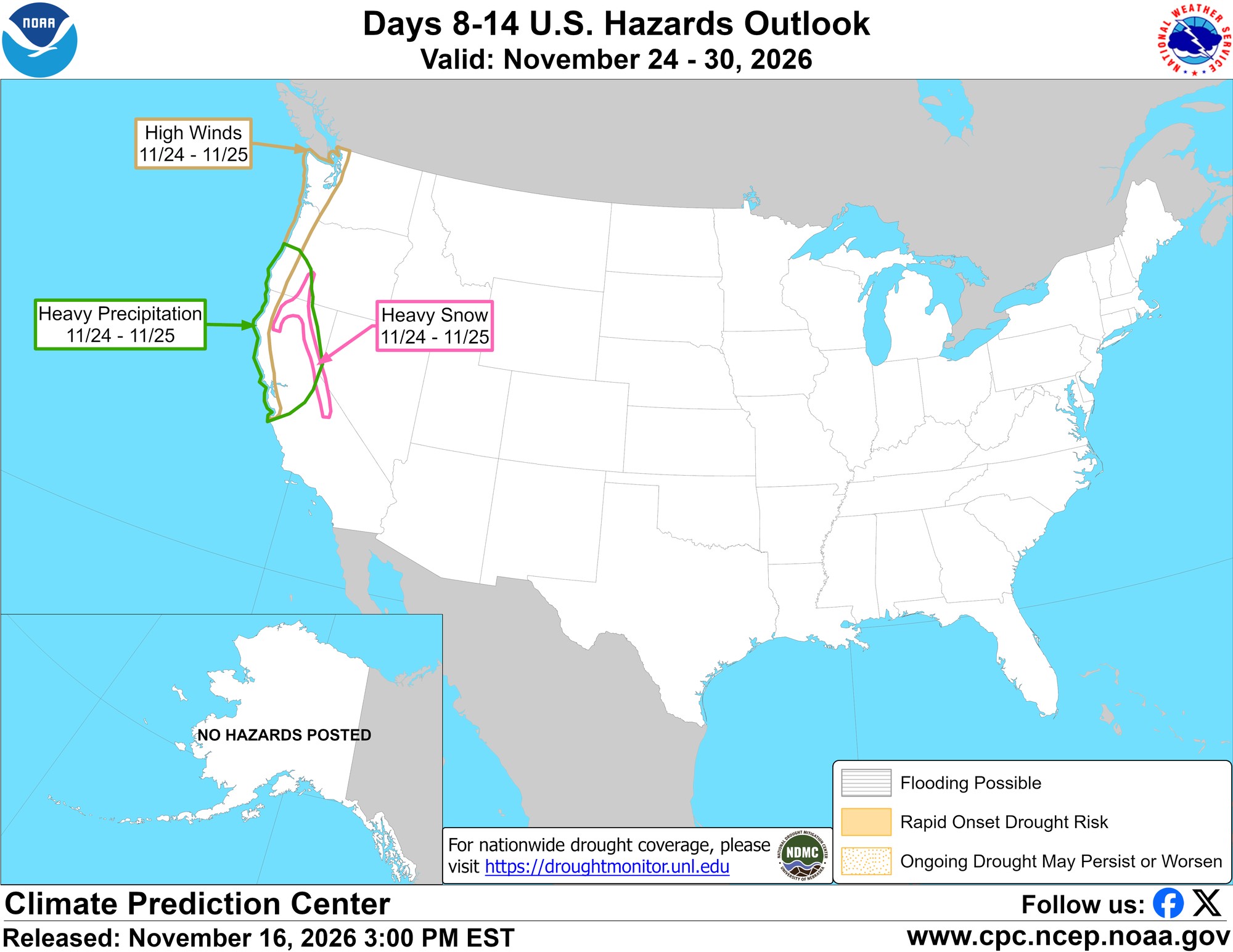
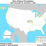
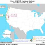
CPC posts a slight risk of heavy rain from the Gulf Coast to the Northeast urban corridor November 25-29, and a moderate risk of West Coast wind and Sierra snow on November 25
The Climate Prediction Center’s week-2 hazards outlook, issued November 17, posts a slight risk of heavy precipitation for the Gulf Coast, Tennessee and Lower…



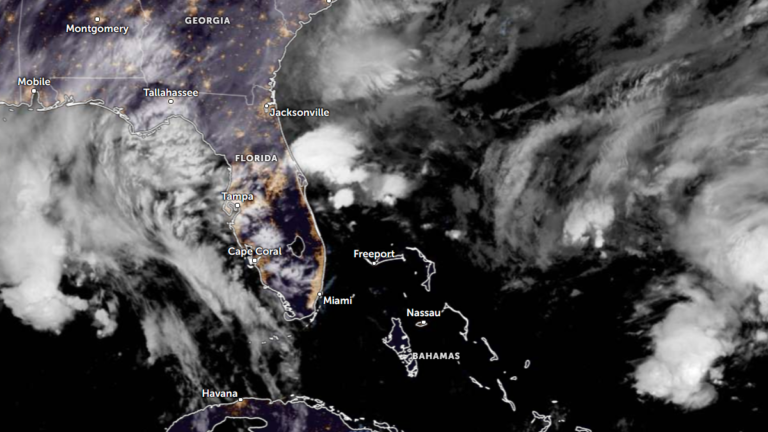
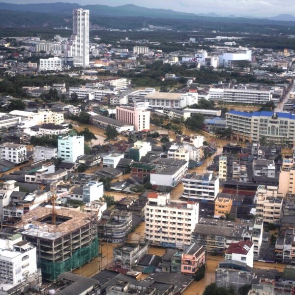
High Risk of excessive rainfall covers Florida’s Space Coast as St. Johns River near Cocoa reaches 5.67 m
Parts of Florida’s east coast between Daytona Beach and Melbourne face a…







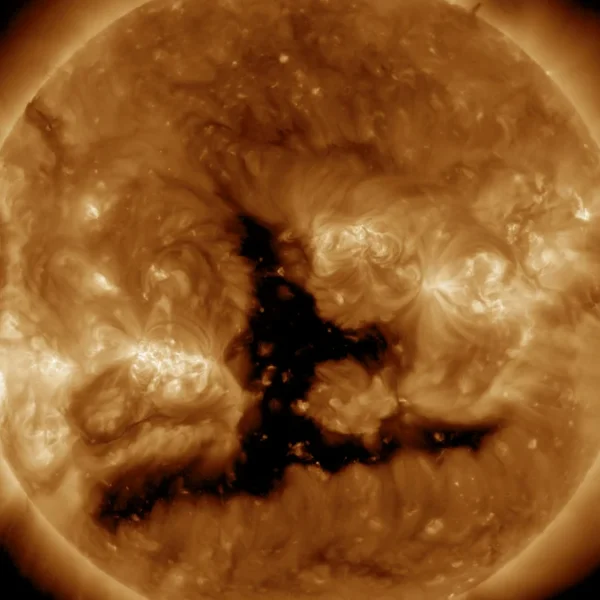
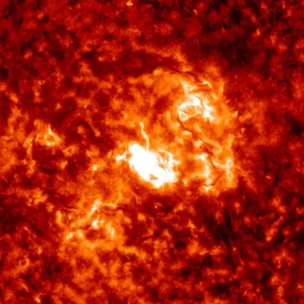
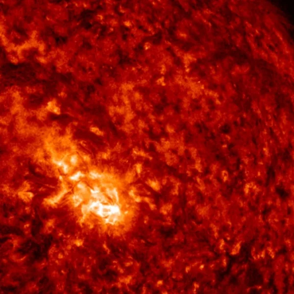
Space Weather Monitor
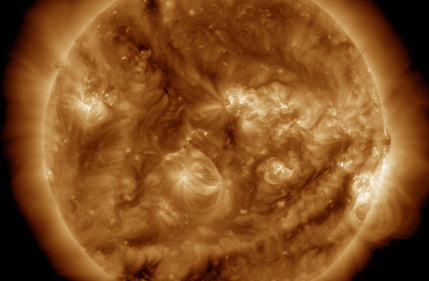
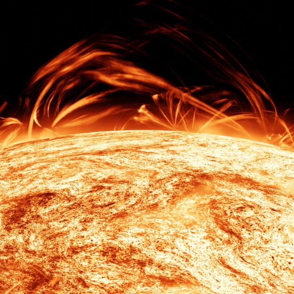
Real-time solar flares, solar wind data, geomagnetic indices, alerts, and more in a single view dashboard
- Solar flares with classification and timing
- Live Kp index and aurora potential
- NOAA/SWPC watches, warnings, and alerts
- Solar wind speed, density, and IMF Bz
- Sunspot regions and magnetograms
- Solar activity forecasts
- Geomagnetic storm forecasts
- Solar radiation storm forecasts
- Plots, models, images, and videos
- …and more


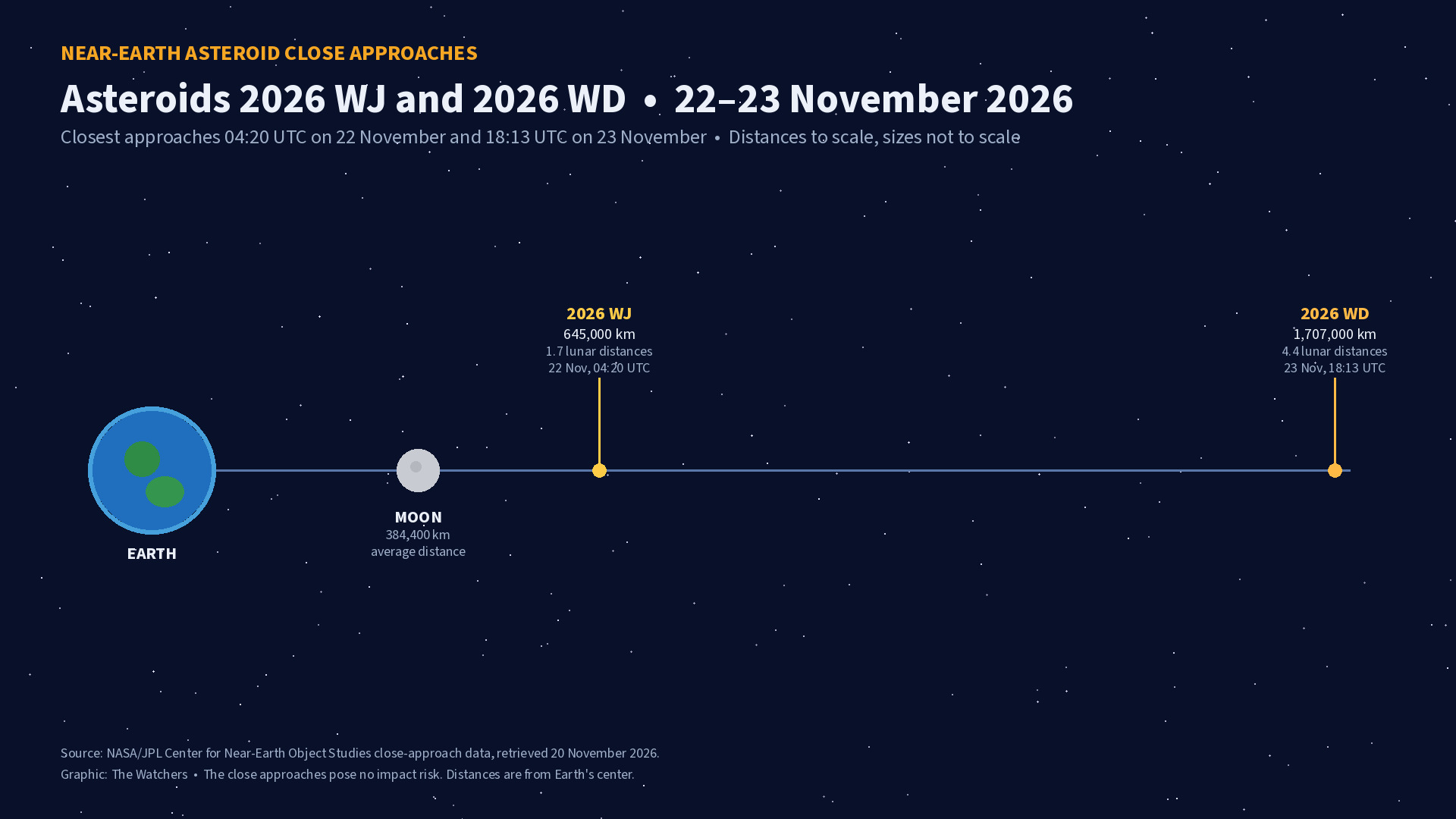
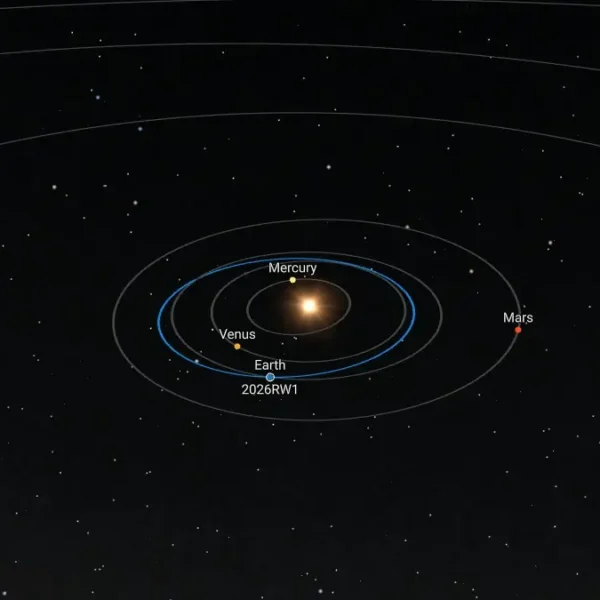
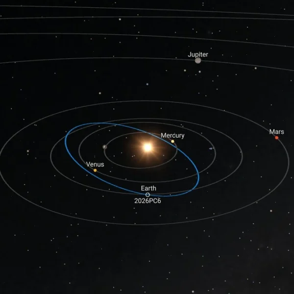
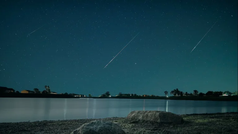
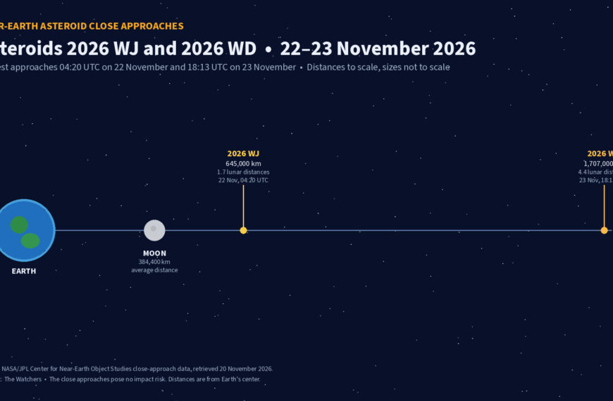
Four small asteroids will pass close to Earth from November 21 to 23
Four small near-Earth asteroids are expected to pass within 4.5 lunar distances of Earth between November 21 and…

Four small asteroids will pass close to Earth from November 21 to 23
Four small near-Earth asteroids are expected to pass within 4.5 lunar distances of Earth between November 21 and 23, 2026,…