
The storms drenching California this week are fed by a river in the sky, a band of water vapor that can carry up to 15 times the flow of the Mississippi River, and this winter’s near-record El Niño could keep aiming more of them at the West Coast
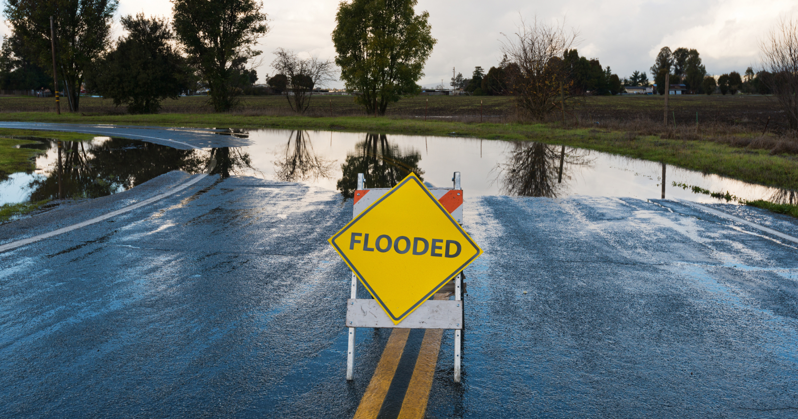
Across California this week, people are clearing gutters, filling sandbags and checking road closures. Forecasters expect flooding rain from the Bay Area to San Diego, heavy snow in the Sierra Nevada and strong winds, with the worst of it on Wednesday and Thursday.
Behind the storm is a weather feature with a surprisingly poetic name: an atmospheric river. It is the most widespread one California has seen this season, and with a near-record El Niño building in the Pacific, it may not be the last.
A river you can’t see
An atmospheric river is a long, narrow band of water vapor flowing through the lower atmosphere. These bands can stretch thousands of miles across the ocean but are often only a few hundred miles wide, like a fire hose of moisture pointed at the coast.
The amount of water they carry is enormous. According to NOAA, a strong atmospheric river can transport between 7.5 and 15 times the average flow of the Mississippi River where it meets the Gulf. When that moisture hits land and is forced up over mountains, it cools and falls as rain or snow.
The Pineapple Express
Some of the most famous atmospheric rivers start near Hawaii and carry warm, moist tropical air to the West Coast. These are nicknamed the “Pineapple Express.”
Not every atmospheric river comes from the tropics, and not every one is dangerous. Many deliver steady, beneficial rain that refills reservoirs and builds the mountain snowpack California depends on for its water supply. In fact, these storms provide a large share of the state’s annual precipitation.
Measuring the danger
Because atmospheric rivers can range from helpful to destructive, scientists at the Center for Western Weather and Water Extremes at the Scripps Institution of Oceanography created a scale to rank them. It runs from category 1, mostly beneficial, to category 5, primarily hazardous.
The ranking depends on how much moisture the storm carries and how long it lingers. A storm that stalls over one area for a day or more can drop extreme amounts of rain, overwhelming rivers and triggering mudslides, especially on hillsides scarred by recent wildfires.
This week’s storm
This week’s system follows a weaker storm that brought scattered showers on Monday. The stronger storm arrives late Tuesday and lasts through Thursday. Much of the heaviest rain could fall within just a few hours as its front moves through.
Southern California could see 1 to 3 inches of rain in most areas, with more on south-facing mountain slopes. In the Sierra, forecasters warn mountain travel could become very difficult or impossible from Tuesday night into early Friday. Huge waves have already flooded streets and closed piers along the coast.
The El Niño connection
This winter, the Pacific is in the grip of one of the strongest El Niño events on record. NOAA’s latest update, issued on 12 November, says there is a high chance of a strong-to-very strong El Niño continuing through early 2027.
El Niño warms the waters of the eastern tropical Pacific and tends to strengthen and shift the jet stream, the fast-moving river of air that steers storms. During strong El Niño winters, that pattern often pushes more storms, including atmospheric rivers, towards California and the southern United States.
What the rest of winter may hold
Strong El Niño winters have brought some of California’s wettest seasons, including the stormy winters of 1982–83 and 1997–98, which caused widespread flooding and mudslides. But the link isn’t guaranteed. During the strong 2015–16 El Niño, Northern California got plenty of rain, while much of Southern California stayed drier than expected.
For now, forecasters are watching for the possibility of another major atmospheric river next week, especially in Northern California. For people living in flood-prone areas or near burn scars, this is a good time to sign up for local emergency alerts, know your evacuation routes and keep an eye on the forecast as the season unfolds.

The Watchers Staff covers earthquakes, volcanoes, severe weather, space weather and other natural events. Published since 2011, The Watchers reports on a changing planet and the science behind it.
Published in the last 24 hours
- 190 mm of rain and 131 km/h gusts hit New Zealand's South Island, flooding West Coast highways
- Huge waves pummel California coast during strong El Niño, flooding streets and closing piers from Pacifica to San Diego
- Atmospheric river brings moderate risk of heavy rain, mountain snow and high winds to northern California and southwest Oregon on November 24-25
- El Niño floods kill 2 in Guayaquil as 172.8 mm of rain swamps Milagro, Ecuador's toll rises to 14
