
A patch of warm Pacific water that could become the strongest El Niño in more than 70 years sits thousands of miles from any American town, yet it is already the main reason NOAA expects a wetter winter across the South and a milder one across the North
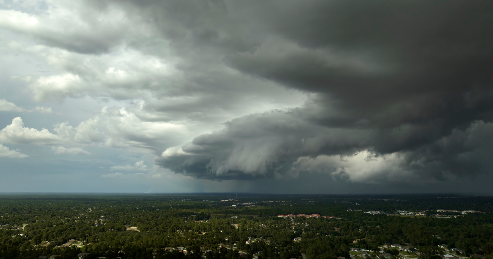
Far out in the tropical Pacific, along the equator, the ocean surface is running unusually hot. Across a band of water thousands of miles long, temperatures are well above normal, in some areas by more than 4°F.
Nobody in Texas, Florida or Minnesota can see it or feel it. Yet according to NOAA, this distant stretch of warm water is the single biggest factor shaping America’s winter forecast.
A record-strength El Niño
The warm water is the signature of El Niño, a natural climate pattern that returns every few years. Normally, trade winds push warm surface water west toward Asia, while cooler water rises along the coast of South America. During El Niño, those winds weaken, and the warm water spreads east.
This year’s event has been building since early 2026. In October, NOAA’s Climate Prediction Center put the chance of a “historic” El Niño, stronger than any recorded since 1950, at 83% for October to December. Forecasters expect it to peak around now, in late fall and early winter.
How distant water changes US weather
The key is the atmosphere above the ocean. Warm water heats the air above it, fuelling huge clusters of thunderstorms over the central and eastern Pacific. Those storms release enormous amounts of heat high into the atmosphere.
That shifts the large-scale patterns of air circulation across the Pacific and beyond. One of the most important effects is on the jet stream, the fast river of air high above us that steers storms.
During a strong El Niño winter, the Pacific jet stream tends to strengthen and shift south. It carries storms across Southern California, the Gulf Coast and the Southeast more often. Meanwhile, the northern US and Canada see less of the bitterly cold Arctic air that usually pushes south.
What NOAA expects this winter
NOAA’s official outlook for December 2026 through February 2027, released in mid-October, follows that classic pattern. It favours wetter-than-average conditions across the Southwest, the South and the East Coast, with the highest chances in Florida and the far Southeast.
It also favours warmer-than-average temperatures across much of the northern US, including the Pacific Northwest, the northern Rockies, the Midwest and much of the East, as well as Alaska. Drought is expected to ease or end across parts of the Southwest, southern Plains and Southeast.
Odds, not guarantees
Seasonal outlooks don’t predict the weather on any given day. They describe which way the odds lean over three months. A milder winter overall can still include fierce cold snaps, and a wetter winter can include long dry stretches.
History shows why the caution matters. In the very strong El Niño of 2015 to 2016, Southern California expected a soaking but ended the season well short of normal rainfall, while storms hit the Pacific Northwest instead.
This winter also has a wild card. In early November, the polar vortex high above the Arctic was disrupted earlier than ever recorded. Events like that can send Arctic air south weeks later, which could interrupt El Niño’s mild influence in December or January.
How to prepare
If you live across the southern US, use the next few weeks to prepare for heavier rain. Clear gutters and storm drains, check your flood insurance, and know how to get flood warnings in your area. Flood policies often take 30 days to come into effect, so don’t wait for the first storm.
In northern states, a milder winter on average can bring more freezing rain and slush instead of steady snow, which can make roads especially slippery. Keep a winter kit in your car, and don’t assume a mild forecast means you won’t need it.
Wherever you live, follow your local forecasts through the season. They’ll give you a much clearer picture as individual storms take shape.
A reminder of how connected the planet is
It’s easy to think of weather as local. But this winter is a clear example of how conditions in one part of the world can shape life thousands of miles away.
A stretch of warm ocean near the equator, far from any American town, is already tilting the odds for rain, snow and temperatures across the country. Over the coming months, millions of people will feel its effects without ever seeing the water that started it.

The Watchers Staff covers earthquakes, volcanoes, severe weather, space weather and other natural events. Published since 2011, The Watchers reports on a changing planet and the science behind it.
Published in the last 24 hours
- A 19-year-old Nebraska teacher reportedly tied her pupils together with twine and led them to safety through a blizzard in January 1888 Epicenter
- NASA built the Opportunity rover to last 90 days on Mars, and Martian winds helped keep it alive for nearly 15 years by blowing dust off its solar panels, until a planet-wide dust storm in 2018 blocked sunlight and silenced the rover Epicenter
- In the winter of 1811–12, earthquakes near New Madrid, Missouri, shook so hard that witnesses saw the Mississippi River flow backward, and the shaking left a brand-new lake in Tennessee Epicenter
- On 28 August 1859 a solar storm shocked telegraph operators and threw sparks on other lines, and on 2 September Boston to Portland clerks unhooked their batteries and kept sending for more than two hours on the aurora's current alone. Epicenter
