
Winds high above the Arctic broke a 68-year record by collapsing in early November, and while the eastern US has already had a taste of the cold it shook loose, forecasters say a second wave could arrive around Thanksgiving weekend
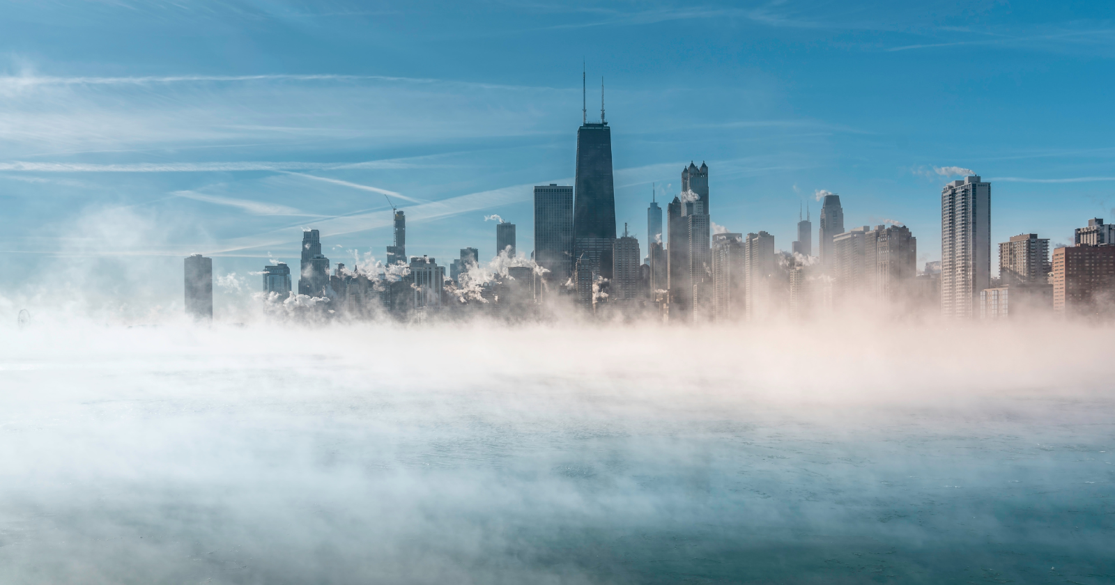
About 20 miles above the North Pole, a vast ring of wind normally spins faster and faster as winter approaches. This November, it did the opposite. Around November 10, the winds slowed, stopped and then reversed direction.
It’s the earliest event of its kind since reliable records began in 1958. Now forecasters are watching to see whether the disruption sends a second round of cold air into the eastern US around Thanksgiving.
What the polar vortex is
The polar vortex is a band of strong westerly winds that circles the Arctic high in the stratosphere, well above where planes fly. When it’s strong, it acts like a fence, keeping the coldest air locked near the pole.
Sometimes, large waves of energy from the lower atmosphere push upward and disrupt it. The air over the pole warms suddenly, sometimes by dozens of degrees, and the winds slow or reverse. Scientists call this a sudden stratospheric warming.
Why this one broke the record
These events usually happen in mid-winter, if they happen at all. Before this year, the earliest major sudden stratospheric warming on record began on November 28, 1968.
This year’s event arrived roughly two and a half weeks earlier. The vortex was also stretched off the pole and pulled into two smaller swirls. Forecasters had seen it coming for weeks, but its timing still surprised many experts, partly because strong El Niño years, like this one, usually help keep the vortex stronger.
The first taste of cold
The northeastern US got an early taste of winter this week, as cold air spilled south during the disruption. For many people, it was a sharp change after a relatively mild autumn.
But the biggest effects of a stratospheric warming often come later. The disruption can take one to three weeks to work its way down from the stratosphere to the weather we feel at ground level. That’s why forecasters are now focused on the end of November.
Why Thanksgiving weekend is in focus
Forecast models suggest the eastern US could see another drop in temperatures, and possibly snow, around Thanksgiving weekend. Some forecasts show colder air from Canada spreading into the northern and eastern US from late November into early December.
But this is far from certain. Experts say computer models often struggle with how these disruptions play out, and the vortex is already expected to recover quickly. Some forecasts show its winds returning to normal strength by the third week of November.
The El Niño wild card
This winter has an unusual mix of ingredients. A strong El Niño in the Pacific usually brings milder conditions to the northern US and wetter weather to the South. That’s what NOAA’s official winter outlook, released in October, reflects.
The polar vortex disruption pulls the other way, raising the chance of cold outbreaks. Which influence wins could vary week to week. Some forecasters expect a colder spell from Thanksgiving into early December, followed by a return to milder El Niño-driven weather.
What it means for your plans
If you’re traveling for Thanksgiving, there’s no reason to change plans based on the polar vortex alone. The best advice is to check updated forecasts in the week before you travel, especially for northern and eastern states.
It’s also worth preparing for a sudden change in conditions. That means packing warmer clothes, checking your car for winter driving and allowing extra time if snow is forecast. Whatever happens, this year’s record-early disruption will give scientists plenty to study, and a reminder of how much weather 20 miles above our heads can affect life on the ground.

The Watchers Staff covers earthquakes, volcanoes, severe weather, space weather and other natural events. Published since 2011, The Watchers reports on a changing planet and the science behind it.
Published in the last 24 hours
- The interstellar comet 3I/ATLAS is thought to be about twice as old as Earth, and the James Webb Space Telescope has now found that its ice looks less like any comet from our own solar system than like the frozen worlds beyond Neptune, a sign it formed somewhere its star’s light could barely reach Epicenter
- Mount Everest is the highest point above sea level, but because the Earth bulges at the equator, the summit of a volcano in Ecuador sits farther from the centre of the planet, making it the closest piece of land on Earth to outer space Epicenter
- Weather radar tracked meteorites falling into Cape Cod Bay after a 1.1-kiloton fireball over Massachusetts on 30 May 2026; researchers have now traced its orbit almost out to Jupiter. Epicenter
- 10 named storms, one hurricane for the first time since 1925: Why has the Atlantic been so quiet in 2026 Epicenter
