
On October 22, 2017, a single flash of lightning stretched 515 miles from eastern Texas to near Kansas City, a distance that takes eight hours to drive, and nobody realized how far it had gone until scientists went back through the satellite data years later
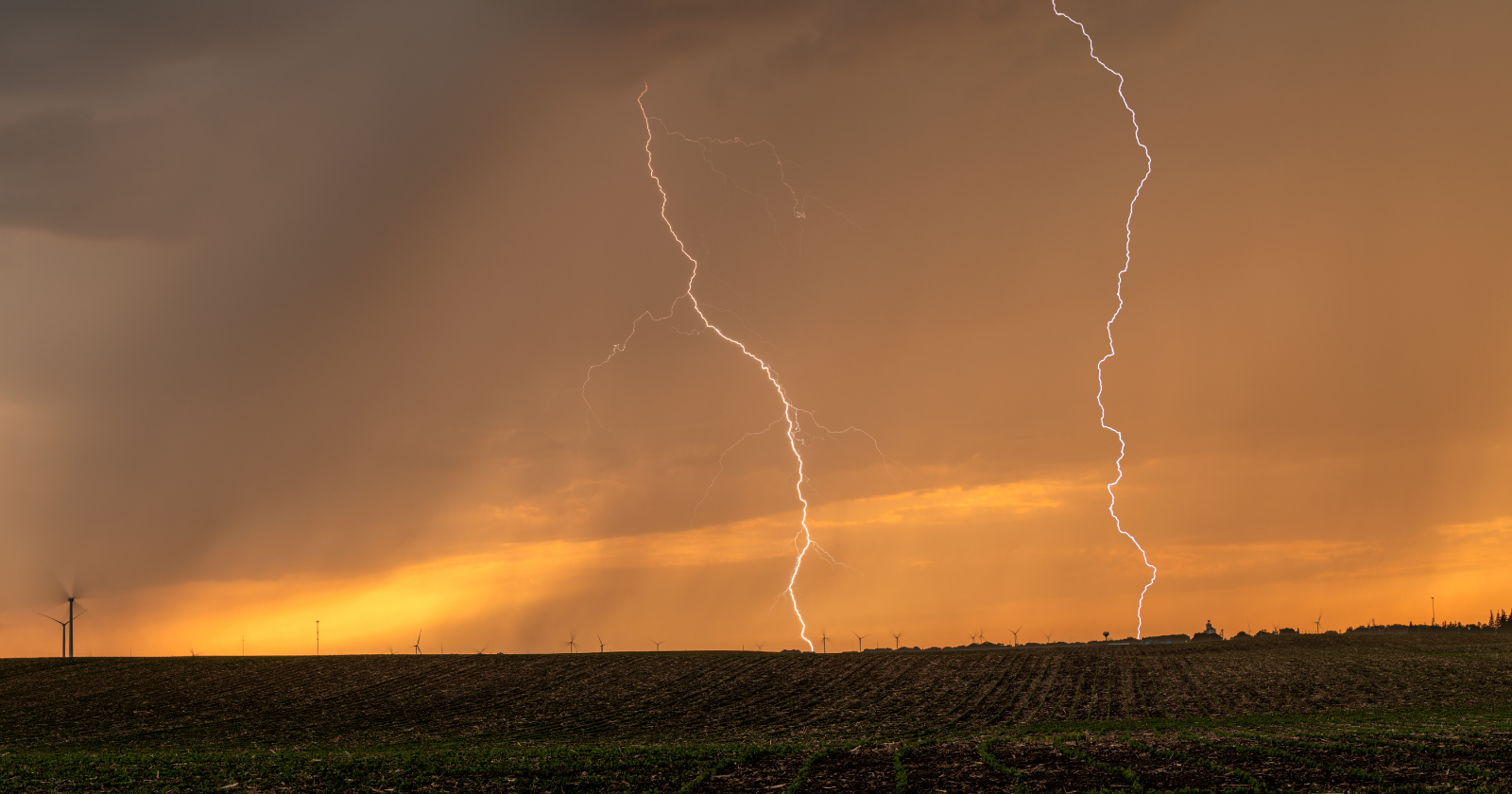
On the evening of October 22, 2017, a huge storm system covered the middle of the United States, from Texas north into Missouri and Iowa. Lightning flickered across the sky for hours, as it does in any big storm.
But one flash that night was unlike any other. It raced through the clouds from eastern Texas, across Oklahoma, Arkansas and Kansas, and ended near Kansas City, Missouri. It lasted about seven seconds. Nobody on the ground had any idea they had just witnessed the longest lightning flash ever recorded.
A flash the length of a road trip
The flash covered 829 kilometres, or 515 miles, with a margin of error of about 5 miles. According to the World Meteorological Organization (WMO), that’s about the distance from Paris to Venice. It would take eight to nine hours to drive and at least 90 minutes to fly.
Most lightning flashes are less than 10 miles long. Anything longer than about 60 miles is called a “megaflash.” Fewer than 1 percent of thunderstorms produce one, and this one was more than 50 times the length of a typical bolt.
Hidden in the data
At the time, nobody realised what had happened. Ground-based lightning sensors pick up strikes in particular places, but this flash was too long for them to measure as a single event.
The record only came to light when a team led by Michael Peterson of the Georgia Tech Research Institute went back through archived data from NOAA’s GOES-16 weather satellite. GOES-16 had launched in late 2016 and carried a new instrument, the Geostationary Lightning Mapper, that watches lightning continuously across most of the Americas. The researchers found the record-breaking flash buried in that data.
In July 2025, an international WMO committee certified it as the new world record. The team published its findings in the Bulletin of the American Meteorological Society.
How lightning travels so far
Megaflashes form inside unusually large storm systems known as mesoscale convective systems. These clusters of thunderstorms can stretch for hundreds of miles and often form over the US Great Plains, especially at night.
Inside them, wide layers of electrically charged cloud spread out horizontally. When a flash starts, it can keep running along these charged layers for hundreds of miles. Along the way, the October 2017 flash sent more than 100 bolts down to the ground, each one branching off the same giant channel.
Records keep falling
The 2017 flash beat the previous record by about 38 miles. That one, measured at 477 miles, crossed parts of Texas, Louisiana and Mississippi on April 29, 2020. Before that, the record was set over Brazil in 2018.
The records keep changing because scientists now have far better tools. Satellites like GOES-16 can watch lightning over vast areas, day and night. As Peterson’s team points out, most of the world’s megaflash hotspots are now covered by these satellites. As the data piles up, researchers expect to find even rarer and more extreme flashes.
Why it matters for safety
Megaflashes are more than curiosities. Because they travel so far, they can strike the ground a long way from the storm’s centre, sometimes well after the rain has moved on or before it arrives. People can be caught out under skies that look calm.
That is why weather services advise heading indoors as soon as you hear thunder, and waiting about 30 minutes after the last rumble before going back outside. A sturdy building or a hard-topped car offers good protection. Picnic shelters, tents and open fields do not.
Watching storms from space
The 2017 record shows how much our view of the weather has changed. A flash that stretched across five states went unnoticed for years, then emerged from a satellite archive as a world record.
Lightning researchers now hope to use these long-term satellite records to understand why some storms produce megaflashes and others don’t. That could eventually help forecasters warn people about lightning risk well beyond a storm’s obvious edges.

The Watchers Staff covers earthquakes, volcanoes, severe weather, space weather and other natural events. Published since 2011, The Watchers reports on a changing planet and the science behind it.
Earlier reporting
Nothing on Watchers was published in the last 24 hours. These are older articles.
- CPC posts a slight risk of heavy rain from the Gulf Coast to the Northeast urban corridor November 25-29, and a moderate risk of West Coast wind and Sierra snow on November 25
- Florida's east coast faces a moderate flash flood risk Wednesday through Friday, with 4 to 8 inches of rain forecast and the St. Johns River near Cocoa already in major flood at 17.13 feet
- Cyclone Akvan to make landfall between Nellore and Visakhapatnam around noon on November 20, IMD forecasts 120-130 km/h winds gusting to 145
- Radio pulses every 7.9 minutes reveal binary with white dwarf and Sun-like star Epicenter
