• Enhanced Risk of severe thunderstorms from northern Illinois into the Ohio Valley

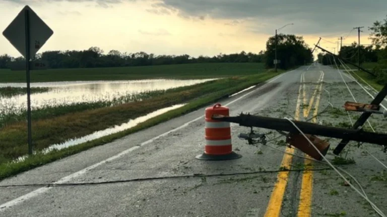
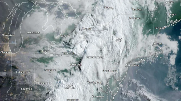
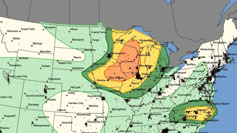
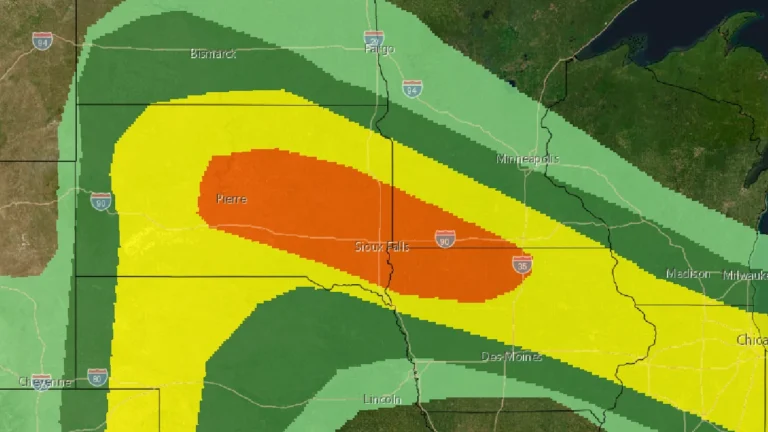
    The Storm Prediction Center (SPC) issued an Enhanced Risk of severe thunderstorms from northern Illinois into the Ohio Valley for August 11, 2026, with damaging winds the primary threat. A potentially organized mesoscale convective system moving southeast from Iowa could produce a swath of damaging gusts, including some above 120 km/h (75 mph), if it remains well organized.
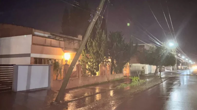

  • Frontal system leaves 2 dead and 5 550 homes damaged or destroyed in Chile

    A frontal system that affected central and southern Chile between August 1 and 2, 2026, left two people dead, 1 399 affected, 156 in shelters and 536 isolated as of August 3. Ten red alerts and 10 yellow alerts remained active because of rising rivers and overflow risks, while authorities reported 5 550 homes damaged or destroyed and 23 104 customers without electricity.

  • New Jersey man killed by lightning during severe thunderstorms

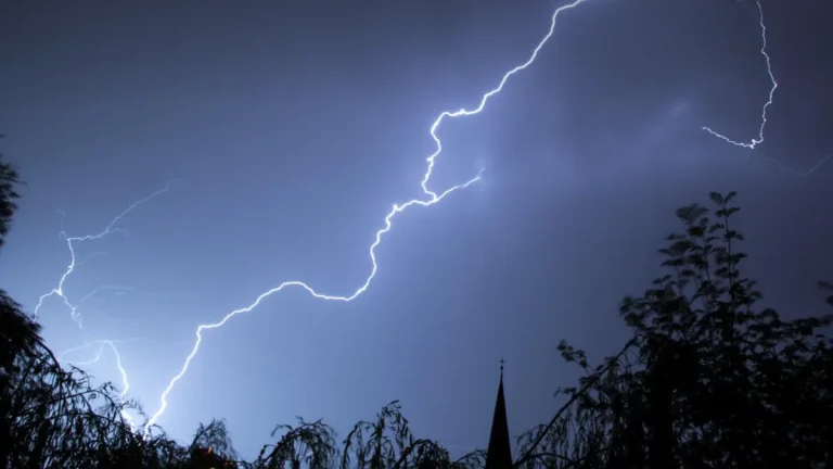
    A 32-year-old man was killed after being struck by lightning in Monroe Township, New Jersey, on Tuesday, July 29, 2026, as severe thunderstorms swept across the state, bringing dangerous cloud-to-ground lightning, torrential rainfall, flash flooding, and widespread disruptions. The fatality occurred as another round of severe weather affected New Jersey, following multiple storm systems earlier this month that caused widespread flooding, extensive power outages, and significant damage to transportation infrastructure.

  • Moderate Risk of excessive rainfall issued for parts of the Northeast, U.S.

    The Weather Prediction Center (WPC) has issued a Moderate Risk (Level 3 of 4) of excessive rainfall for portions of the northeastern United States on Wednesday, July 29, 2026. Repeated rounds of heavy rainfall could produce significant and potentially life-threatening flooding across parts of eastern New York, western Massachusetts, southern Vermont, and adjacent areas of Connecticut.

  • Moderate Risk of excessive rainfall issued for Tri-State area as heavy rain threatens parts of the Northeast

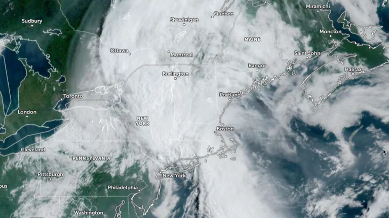
    A Moderate Risk of excessive rainfall and potentially significant flash flooding is in effect for parts of New Jersey, New York, and Connecticut on Tuesday, July 28, 2026 as an unusually strong upper-level low develops over the Northeast. The National Weather Service’s Weather Prediction Center warns that repeated thunderstorms may produce rainfall rates of up to 51 mm (2 inches) per hour, with the greatest threat centered on the New York City tri-state region.

  • Local State of Disaster declared after tornado tears through Menasha, Appleton and Neenah, Wisconsin

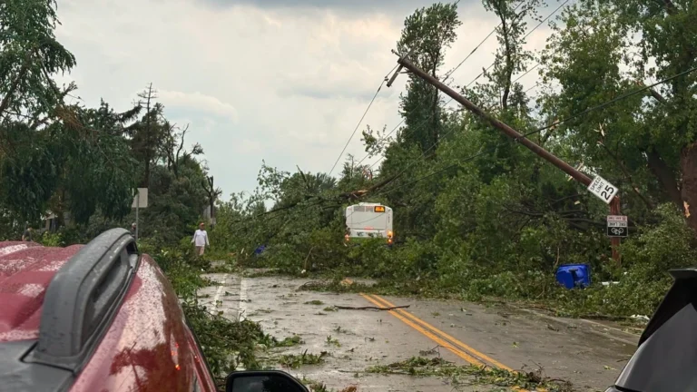
    A destructive tornado crossed Lake Winnebago before striking communities across Wisconsin’s Fox Valley on Monday, July 27, 2026, causing extensive damage in Menasha, Appleton, and Neenah. Menasha declared a local State of Disaster as emergency crews responded to heavily damaged neighborhoods, gas leaks, and widespread infrastructure damage following a broader outbreak of severe thunderstorms.

  • State of Emergency declared for West Virginia after historic flooding

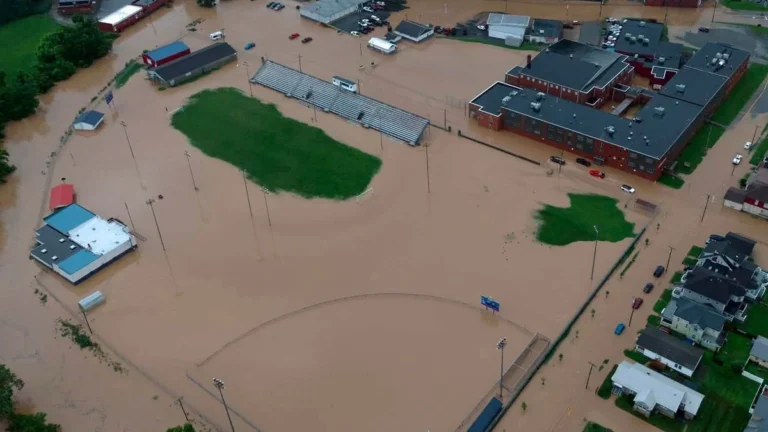
    Historic flooding in Upshur County and widespread impacts from severe thunderstorms prompted West Virginia Governor Patrick Morrisey to declare a State of Emergency for all 55 counties on July 21, 2026. The Sand Run stream gauge near Buckhannon rose to record levels, reportedly reaching major flood stage for the first time on record. Meanwhile, torrential rainfall totals of up to 127 mm (5 inches) in less than six hours caused flash flooding, infrastructure damage, and multiple road closures.