
Severe thunderstorms damage more than 150 buildings in Slovenia before spreading into Croatia
Severe thunderstorms damaged more than 150 buildings in Slovenia on June 10, 2026, before the same weather system moved into northern Croatia overnight into June 11, bringing damaging wind, hail, and heavy rainfall.
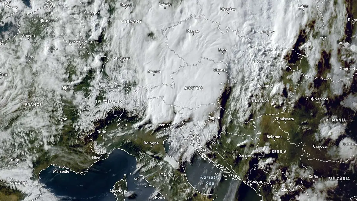
Satellite image of SE Europe at 17:00 UTC on June 10, 2026. Credit: EUMETSAT/Meteosat, Zoom Earth, The Watchers
According to data provided by the Slovenian Environment Agency (ARSO), wind gusts reached 105 km/h (65 mph) at Brnik Airport, while short-duration rainfall totals reached 31 mm (1.2 inches) in 30 minutes at Šebreljski vrh, 28 mm (1.1 inches) at Brnik Airport, and 23 mm (0.9 inches) in Kranj. Hail the size of golf balls was reported across the region.
One of the hardest-hit areas was Komenda municipality, where the local fire department PGD Moste reported the storm struck at approximately 20:20 LT (18:20 UTC) on June 10. Firefighters said more than 100 buildings sustained damage, with the most severe impacts reported in Nasovče, Breg pri Komendi, Potok pri Komendi, Klanec, Podboršt, parts of Komenda, and Križ.
Slovenian Administration for Civil Protection and Disaster Relief said more than 165 firefighting teams operated across more than 50 municipalities, while more than 150 buildings were reported damaged nationwide, including around 30 buildings in Cerklje na Gorenjskem.
In Croatia, the Croatian Meteorological and Hydrological Service (DHMZ) issued thunderstorm warnings for parts of the country during the overnight hours into June 11, warning of damaging wind gusts, hail, heavy rain, localized flash flooding, property damage, and traffic disruptions.
Croatian media reported storm-related damage in parts of Međimurje and Nova Gradiška, including hail, fallen trees, damaged roofs, and roof damage at part of the Nova Gradiška hospital complex. The full extent of the damage is still not known.
The storms developed within an unstable weather pattern affecting the northern Adriatic region, with thunderstorms progressing eastward from northern Italy across Slovenia into Croatia.
June marks the climatological peak of severe thunderstorm activity across parts of central and southeastern Europe, when hail, damaging wind gusts, and short-duration intense rainfall become more frequent.
References:
1 Snažno nevrijeme u Sloveniji, padala tuča veličine golf loptica. Fronta pogodila i krajnji sjever Hrvatske – Jutarnji.hr – June 10, 2026
I'm a dedicated researcher, journalist, and editor at The Watchers. With over 20 years of experience in the media industry, I specialize in hard science news, focusing on extreme weather, seismic and volcanic activity, space weather, and astronomy, including near-Earth objects and planetary defense strategies. You can reach me at teo /at/ watchers.news.
Commenting rules and guidelines
We value the thoughts and opinions of our readers and welcome healthy discussions on our website. In order to maintain a respectful and positive community, we ask that all commenters follow these rules.