
Winter Storm Warnings issued for Idaho and Montana mountains
The National Weather Service (NWS) office in Missoula upgraded Winter Storm Watches to Winter Storm Warnings at 11:04 MDT (17:04 UTC) on June 26, 2026, for four high-elevation zones in central Idaho and southwest Montana, where 10-20 cm (4-8 inches) of heavy wet snow, with isolated amounts up to 30 cm (12 inches), is forecast above about 2 000 m (6 500 feet) over the weekend.
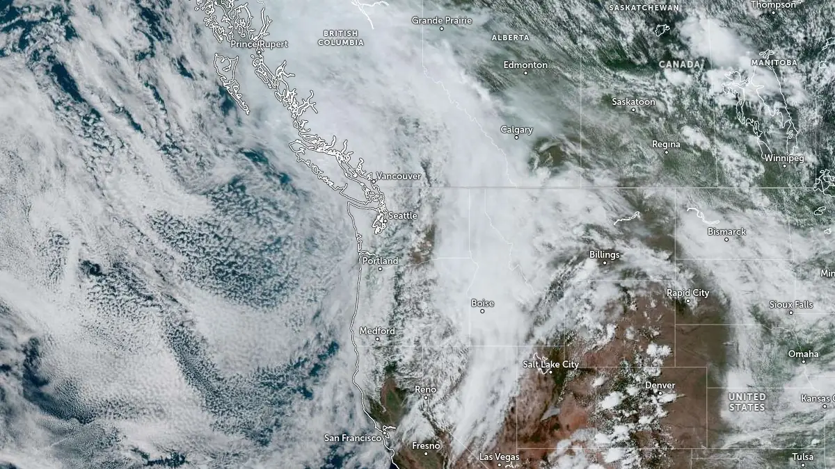
Satellite image acquired at 19:50 UTC on June 26, 2026. Credit: NOAA/GOES-East, Zoom Earth, The Watchers
National Weather Service office in Missoula upgraded Winter Storm Watches to Winter Storm Warnings at 11:04 MDT (17:04 UTC) on June 26 for Western and Eastern Lemhi County in Idaho, the Bitterroot/Sapphire Mountains, and the Butte/Blackfoot Region in Montana due to heavy wet snow forecast above 2 000 m (6 500 feet) from 18:00 MDT on June 27 through 09:00 MDT on June 29.
The office forecasts 10-20 cm (4-8 inches) of fresh snow across affected areas, and up to 30 cm (12 inches) on the highest peaks in Western and Eastern Lemhi County and in the Bitterroot/Sapphire Mountains. The Anaconda Pintler Mountains are forecast to receive 20-40 cm (8-16 inches).
The snow will be brought by a closed low stalling over south-central Idaho, with snow levels near 1 800-2 000 m (6 000-6 500 feet) across the Lemhi, Bitterroot, Sapphire, and Anaconda Pintler ranges, as well as along the Continental Divide, from Saturday evening into Monday morning.
NWS forecasts backcountry and higher-elevation exposure, including cold and wet conditions, hypothermia risk, and trees downing under heavy wet snow that could obstruct backcountry road access. Residents were advised to consider delaying travel across the backcountry and higher elevations.
A separate Winter Weather Advisory issued by NWS Great Falls covers Northwest Beaverhead County, the Ruby Mountains and Southern Beaverhead Mountains, and the Gallatin and Madison County Mountains and Centennial Mountains.
The office forecasts up to 10 cm (4 inches) above about 1 980 m (6 500 feet), with localized totals exceeding 20 cm (8 inches) near the highest peaks, from 18:00 MDT on June 27 to 12:00 MDT on June 29.
References:
1 Urgent – Winter Weather Message – NWS/Missoula, MT – June 26, 2026
2 Area Forecast Discussion – NWS/Missoula, MT – June 26, 2026
I'm a dedicated researcher, journalist, and editor at The Watchers. With over 20 years of experience in the media industry, I specialize in hard science news, focusing on extreme weather, seismic and volcanic activity, space weather, and astronomy, including near-Earth objects and planetary defense strategies. You can reach me at teo /at/ watchers.news.
Commenting rules and guidelines
We value the thoughts and opinions of our readers and welcome healthy discussions on our website. In order to maintain a respectful and positive community, we ask that all commenters follow these rules.