• Nor’easter keeps N.C. 12 closed as coastal flood warnings continue in the Outer Banks, U.S.

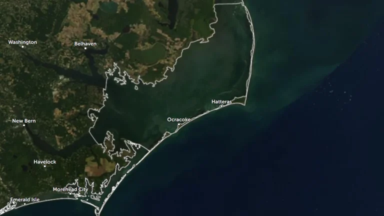
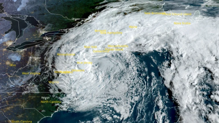
    Coastal Flood Warnings remain in effect for Hatteras and Ocracoke islands on October 21 as a nor’easter continues offshore of the U.S. Mid-Atlantic coast. The National Weather Service forecasts 0.6–1.2 m (2–4 feet) of inundation in vulnerable shoreline areas, while N.C. Highway 12 remains closed between the Marc Basnight Bridge and Rodanthe.
  • Flash-flood risk rises in Southern California, severe storms threaten Arizona

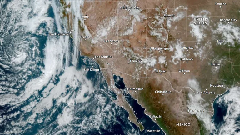
    Heavy rain and severe thunderstorms are forecast across the U.S. Southwest from October 21 into October 23, 2026, as a deep Pacific low draws tropical moisture inland. The Weather Prediction Center (WPC) placed parts of Southern California and the Southwest under a Slight Risk of excessive rainfall for October 21, while the Storm Prediction Center (SPC) placed parts of central and eastern Arizona under a separate Slight Risk of severe thunderstorms.

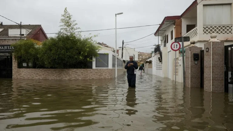
  • Four deaths reported as DANA Adam flooding prompts more than 1 000 rescues in eastern Spain

    DANA Adam brought torrential rain and severe flooding to eastern Spain from October 17 to 19, 2026, prompting restrictions across 145 municipalities in Valencia and Alicante. Emergency services carried out more than 1 000 rescues on October 19, while four deaths were reported during the wider storm episode and AEMET said Pego received 632 mm (24.9 inches) of rain in 36 hours.

  • Visitors ordered to evacuate Hatteras Island as coastal storm threatens N.C. Highway 12, U.S.

    Dare County ordered all visitors to evacuate Hatteras Island beginning at 20:00 EDT on October 16 (00:00 UTC on October 17) after declaring a state of emergency ahead of a developing coastal nor’easter. A Coastal Flood Warning is valid from 17:00 EDT (21:00 UTC) on October 17 to 08:00 EDT (12:00 UTC) on October 20, with 0.6–1.2 m (2–4 feet) of inundation above ground level and 2.4–4.3 m (8–14 feet) breaking surf forecast in vulnerable areas.

  • Tornado threat forecast as Hurricane Isaias strengthens ahead of northern Gulf Coast landfall, United States

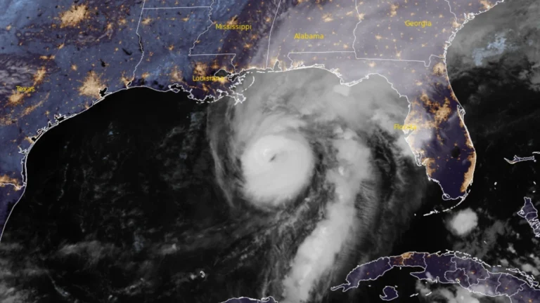
    The Storm Prediction Center (SPC) issued a Slight Risk of severe thunderstorms for parts of the Florida Panhandle, southeastern Alabama, and southwestern Georgia on October 9, 2026, as rainbands from Hurricane Isaias were forecast to bring a tornado threat from the afternoon into the overnight hours. At 09:00 UTC, the National Hurricane Center (NHC) said Isaias had strengthened to 175 km/h (110 mph), with a minimum central pressure of 963 hPa, ahead of an expected northern Gulf Coast landfall Friday night or early Saturday.

  • Hurricane and storm surge watches issued for northern Gulf Coast as Isaias strengthens, U.S.

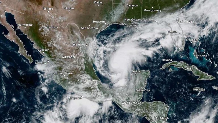
    Hurricane, storm surge and tropical storm watches were issued for portions of the U.S. northern Gulf Coast on Wednesday morning, October 7, 2026, as Tropical Storm Isaias strengthened over the Gulf of America, according to the National Hurricane Center (NHC). The watches extend from the mouth of the Mississippi River eastward to Yankeetown, Florida.

  • Hurricane Polo and remnants of Odalys bring heavy rain and flash flood risk across the Four Corners region, U.S.

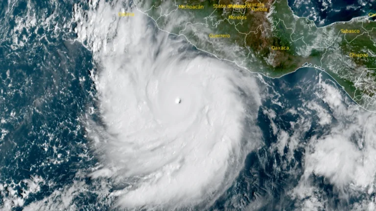
    Heavy rain is forecast across the Four Corners region through 05:00 PT (12:00 UTC) on September 30, with 50–100 mm (2–4 inches) expected across much of eastern Arizona, western New Mexico, and the San Juan Mountains of southwestern Colorado. Moderate Risk excessive-rainfall outlooks, level 3 of 4, cover much of Arizona and New Mexico and parts of southern Utah and southern Colorado, corresponding to a ≥40% probability of flash flooding.

  • Nor’easter exits after days of heavy rain and coastal flooding across U.S. Northeast

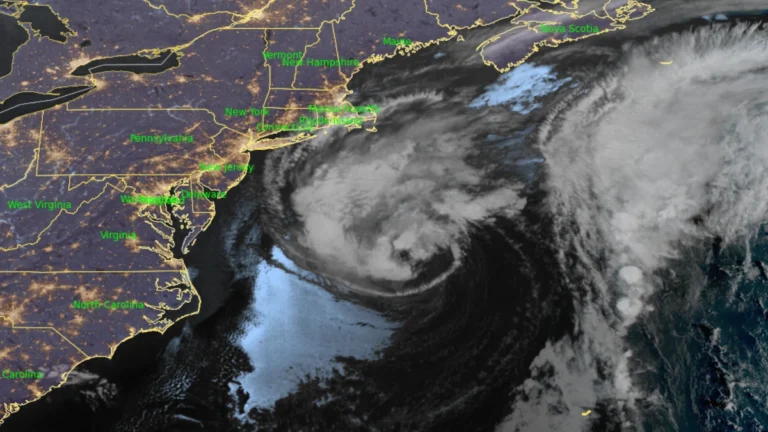
    A slow-moving nor’easter weakened off New England on September 28, 2026, after producing an NWS-listed gust of 130 km/h (81 mph) at Montauk Point, nearly 160 mm (6.3 inches) of rain in southeastern Massachusetts and measured coastal inundation above 0.8 m (2.6 feet) in New York City. PSEG Long Island recorded more than 128 000 cumulative outages across Long Island and the Rockaways, with power restored to more than 99% of affected customers by late September 28.

  • Floods kill at least 16 in Thailand and Myanmar, nearly 2.5 million affected

    Flooding in Thailand has killed eight people since September 16, 2026 and left 1.7 million people affected across 27 provinces outside Bangkok as of September 28. Bangkok remained flooded for a fourth consecutive day. Meanwhile a local volunteer rescue group in southern Myanmar reported recovering eight bodies and searching for 20–30 missing people in Launglon Township.

  • One dead, tens of thousands without power as nor’easter impacts U.S. Northeast

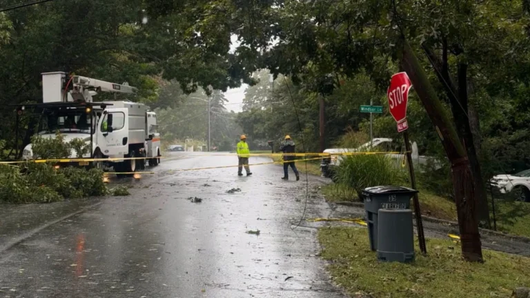
    A long-duration nor’easter continued producing coastal flooding, heavy rain and strong winds from Virginia to New England on September 27, 2026, leaving tens of thousands of utility customers without power. Coastal Flood Warnings remained in effect along parts of the U.S. East Coast, while a 56-year-old man was killed and four people were injured in separate falling-tree incidents in Brooklyn, New York, on September 26.