
People who stayed put through the 2017 hurricanes were more often the ones with flood insurance, a survey of 2,557 Gulf Coast residents found, and the authors suggest the policy may have made the storm feel less dangerous
Gulf Coast residents who reported carrying flood insurance had 29% lower adjusted odds of evacuating during hurricanes in the 2017 season than respondents without it, according to a study of 2 557 affected residents across the U.S. Gulf Coast. Researchers proposed lower perceived hurricane risk as one possible explanation, but the study did not test whether insurance changed risk perception and cannot establish that insurance caused people to remain home.
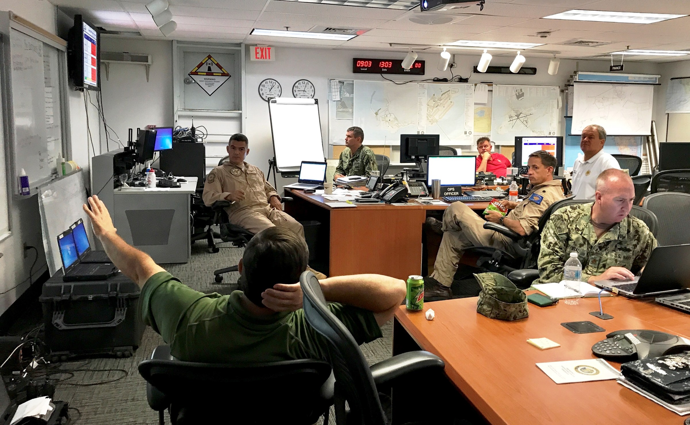
Capt. Bobby Baker is briefed ahead of Hurricane Irma. (36916442706). Credit: Official U.S. Navy Page from United States of America
Karaye et al. (2019) examined hurricane evacuation decisions among residents of 73 NOAA-designated coastal-zone counties across Texas, Louisiana, Mississippi, Alabama and Florida. The survey ran from December 11, 2017 through January 11, 2018 and recruited 3 030 adults, of whom 2 557 reported being affected by a Gulf Coast hurricane during the 2017 season.
The study provides a large regional view of who left and who stayed during an exceptionally active hurricane season. About 36% of affected respondents reported evacuating, while roughly 64% remained at home. The researchers examined those decisions against housing type, perceived storm-surge, flood and wind risk, sources of evacuation information, self-sufficiency, property impacts and home flood-insurance status.
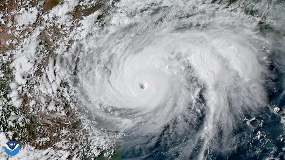
The survey covered experiences associated with Hurricanes Harvey, Maria, Irma and Nate. NOAA recorded 17 named storms, 10 hurricanes and six major hurricanes across the Atlantic during 2017. Harvey struck Texas, Irma crossed Florida after devastating parts of the Caribbean, Maria produced catastrophic impacts in the Caribbean and Puerto Rico, and Nate reached the northern Gulf Coast.

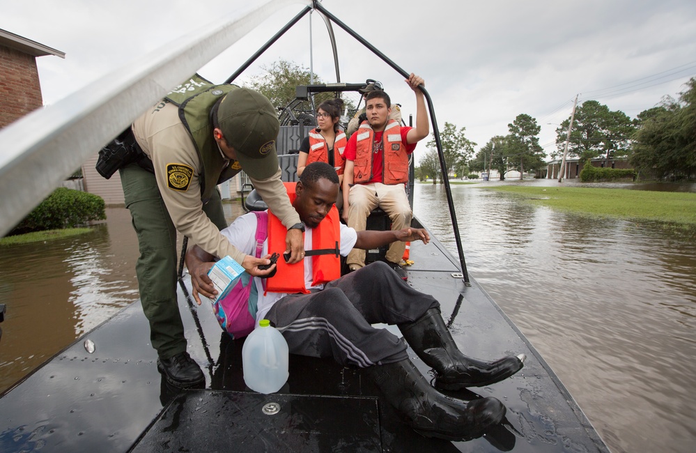
The strongest result behind the new analysis concerned flood insurance. After accounting for the other measured variables included in the model, respondents who reported carrying flood insurance on their homes had an odds ratio of 0.71 for evacuation, with a 95% confidence interval of 0.60–0.83, compared with respondents without flood insurance.
An odds ratio of 0.71 corresponds to 29% lower adjusted odds of evacuation. That does not mean insured respondents were 29 percentage points less likely to evacuate. Odds ratios describe the relative odds of an outcome after adjustment for the other variables in the model and do not, on their own, establish why the difference occurred.
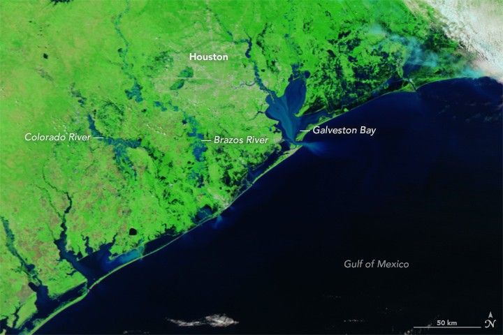
Other variables moved strongly in the opposite direction. Residents of mobile homes or trailers had 3.31 times the adjusted evacuation odds of residents of single-family homes. Respondents reporting high storm-surge risk had 4.97 times the odds of evacuation compared with those reporting low surge risk, while medium storm-surge perception carried an odds ratio of 2.58.
High perceived wind risk was also associated with evacuation, with an odds ratio of 1.56 compared with low perceived wind risk. Respondents classified as self-sufficient had an odds ratio of 1.53, those relying on media for their evacuation decision had an odds ratio of 1.86, and those relying on family had an odds ratio of 2.12.
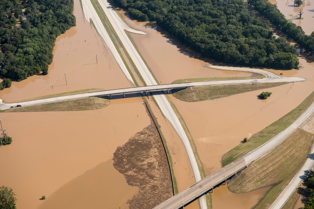
Perceived flood risk behaved differently after adjustment. Medium and high perceived flood risk did not remain statistically significant predictors in the multivariable model, while storm-surge perception did. High perceived surge risk produced the largest positive adjusted odds ratio among the significant predictors reported in the model.
The distinction matters because storm surge is not simply another name for inland flooding. It is an abnormal rise of seawater generated by a storm and pushed onto the coast, where water can move into normally dry areas. A resident’s assessment of that threat was strongly associated with evacuation in the study even after the researchers accounted for the other included variables.
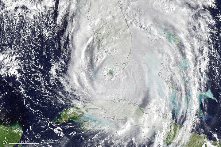
The contrast between storm-surge perception and flood-insurance status is central to the study. Respondents who assessed storm-surge danger as high were substantially more likely to evacuate, while respondents carrying flood insurance had lower adjusted evacuation odds. The statistical model establishes those associations but does not identify a causal pathway connecting them.
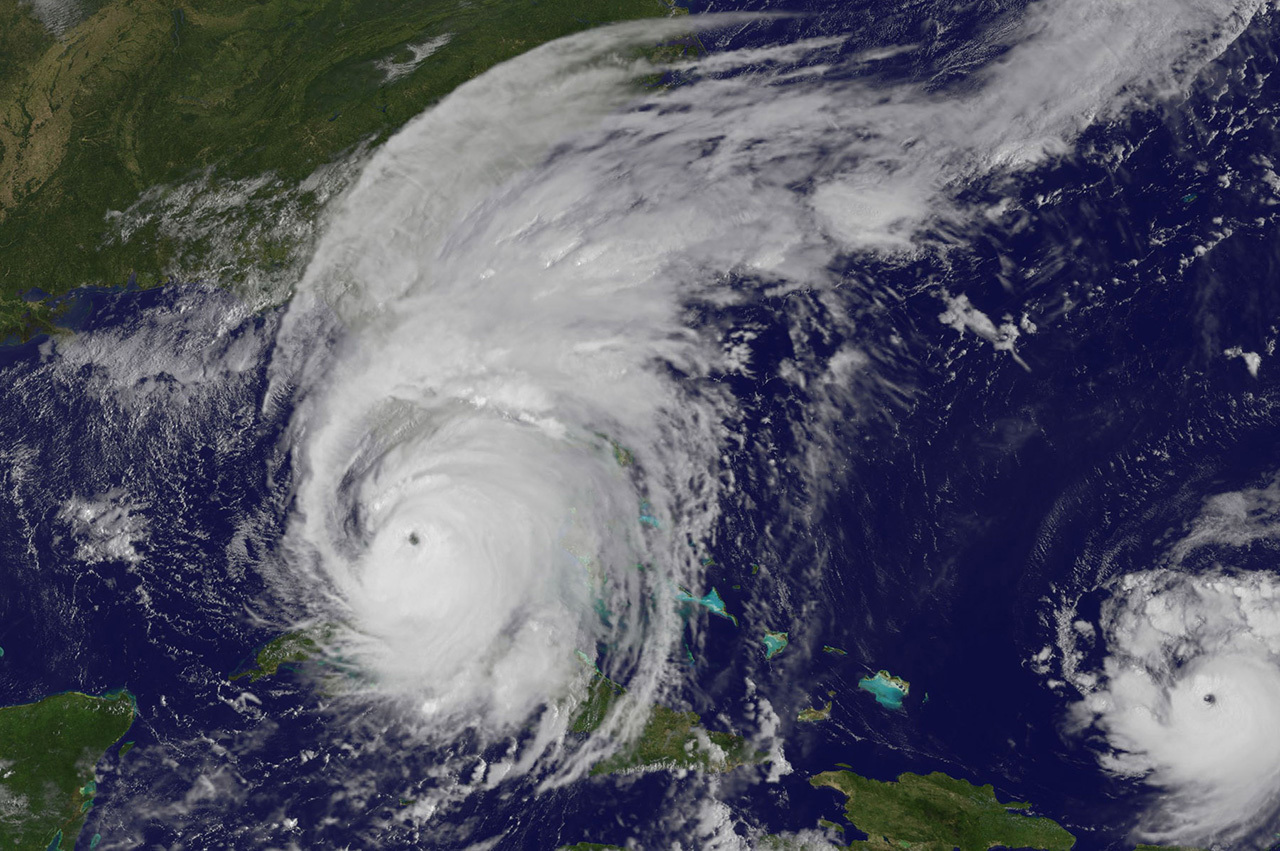
Karaye and colleagues proposed lower perceived hurricane risk as one possible explanation for the insurance result. They referred to earlier Hurricane Andrew research in which households with flood insurance or stronger homes were reported to perceive lower risk of storm damage and were less likely to evacuate.
The Gulf Coast survey did not directly test whether obtaining flood insurance reduced a person’s perception of storm surge, wind or other hurricane hazards. Insurance status and evacuation behavior were measured within the same cross-sectional study, preventing the researchers from establishing whether one preceded the other or whether another household characteristic influenced both.

That evidence boundary prevents the result from being described as proof that flood insurance created a false sense of security. Flood insurance transfers some of the financial risk associated with covered flood damage. It does not physically reduce storm surge, rainfall, wind or other hurricane hazards, and the 2019 study did not show that possessing a policy changed how respondents understood those hazards.
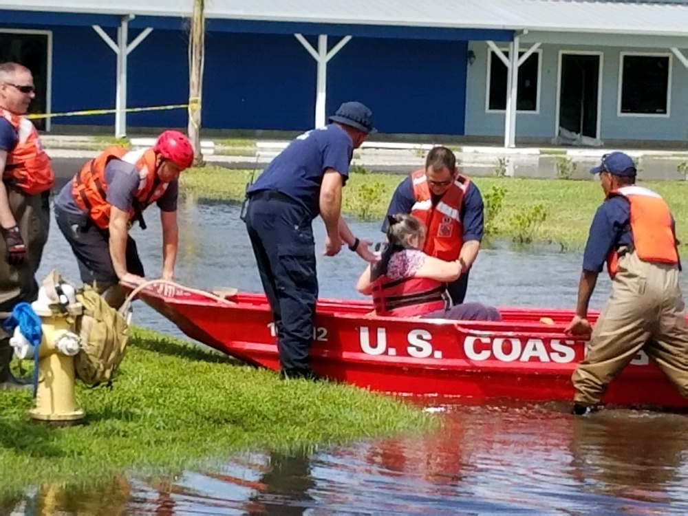
The researchers used multivariable logistic regression to estimate how the measured factors were associated with evacuation while accounting for other variables in the model. Predictor variables included housing type, perceived surge, flood and wind risk, reliance on neighbors, local authorities, family and media, self-sufficiency, reported property impacts and home flood insurance.
The analysis was adjusted for age, sex and race or ethnicity using survey weighting. The panel was assembled to reproduce Gulf Coast population proportions for age, sex, race or ethnicity and state of residence, but participants were recruited through an online Qualtrics panel.
The authors identified that recruitment method as a possible source of selection bias because people with internet access and time to participate in an online survey can differ from those who do not participate. They argued that the demographic quotas reduced that concern, but the design cannot eliminate it.
The cross-sectional design imposed another important limitation. Evacuation and the potential predictors were assessed within the same study rather than followed prospectively through time. The analysis can therefore identify statistical relationships but cannot determine the sequence needed to establish that one factor caused another.
A later meta-analysis by Karaye and colleagues pooled 36 hurricane-evacuation studies published between 1999 and 2018. Across that broader evidence base, mobile-home residence and risk perception were statistically associated with evacuation, alongside female sex and Hispanic ethnicity. Geographic region modified some relationships.
The meta-analysis reinforces the broader role of perceived risk in hurricane evacuation without independently demonstrating the specific flood-insurance mechanism proposed in the Gulf Coast paper. The question left by the 2019 study is narrower: whether insurance status itself changes perceived hurricane danger, or whether it marks other differences between households that also affect evacuation behavior.
Answering that question would require a design capable of establishing sequence. Researchers would need to measure insurance status and hazard perception before a storm, follow how official warnings and observed conditions change those perceptions, and then record the eventual evacuation decision. The 2019 study instead provides evidence of a counterintuitive association and a hypothesis for why it occurred, not a demonstrated behavioral effect of insurance.
References:
1 Karaye, I. M., Horney, J. A., Retchless, D. P., & Ross, A. D. (2019). Determinants of hurricane evacuation from a large representative sample of the U.S. Gulf Coast. International Journal of Environmental Research and Public Health, 16(21), 4268. DOI: 10.3390/ijerph16214268
2 Karaye, I. M., Taylor, N., Perez-Patron, M., Thompson, C., & Horney, J. A. (2022). Factors associated with hurricane evacuation: A statistical meta-analysis of studies, 1999–2018. Disaster Medicine and Public Health Preparedness, 16(3), 1064–1072. DOI: 10.1017/dmp.2021.24
3 Extremely active 2017 Atlantic hurricane season finally ends – National Oceanic and Atmospheric Administration – November 30, 2017

I’m a science journalist and researcher at The Watchers, contributing to the Epicenter edition, where I cover peer-reviewed scientific research and emerging discoveries across Earth and space sciences. With a background in astronomy and a passion for environmental science, I’ve worked in shark and coral conservation in Fiji, conducting reef and shark-behavior research, contributing to mangrove restoration, and earning PADI Open Water and Coral Reef Certifications. I bring a blend of scientific rigor and storytelling to illuminate the discoveries shaping our planet and beyond.
Published in the last 24 hours
- In January 1862, California’s new governor took a rowboat to his own inauguration, after 45 days of storms had turned the Central Valley into a lake up to 300 miles long Epicenter
- A Virginia park ranger was struck by lightning seven times and lived, even though three of the strikes set his hair on fire Epicenter
- The hole in the ozone layer over Antarctica was about twice the size of the US this year, and scientists say it would have been bigger still if ozone-eating chemicals were at their 2000 levels Epicenter
- High Risk of excessive rainfall covers Florida’s Space Coast as St. Johns River near Cocoa reaches 5.67 m
