
Lake Worth Pier and South Port Everglades reach record water levels, King tides flood Florida’s Atlantic coast
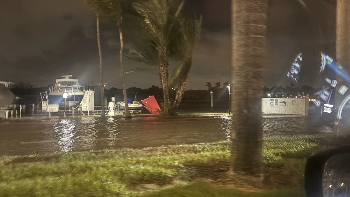
King tides, persistent onshore winds and elevated seas caused coastal flooding along Florida’s Atlantic coast from October 26 to 29, 2026. Preliminary water levels reached 0.82 m (2.7 feet) above mean higher high water (MHHW) at Lake Worth Pier and 0.76 m (2.48 feet) at South Port Everglades, both above the highest values in NOAA’s current station tables. Virginia Key recorded its highest king tide and third-highest overall level since consistent observations began in 1994.
coastal flooding on Collins Avenue in Miami Beach on October 27, 2026. Credit: NWS Miami
NWS Miami reported that Lake Worth Pier reached 0.82 m (2.7 feet) above mean higher high water (MHHW) at 09:24 EDT (13:24 UTC) on October 27. Palm Beach County Emergency Management reported tidal flooding and closed the Ocean Avenue bridge in Lantana.
The Lake Worth Pier observation was 0.05 m (0.18 feet) above the highest value in NOAA’s current Top-10 Highest Water Levels table for station 8722670. The previous record was 0.77 m (2.52 feet) during Hurricane Nicole on November 10, 2022.
At South Port Everglades, water level reached 0.76 m (2.48 feet) above MHHW at 09:30 EDT (13:30 UTC). That value was already 0.12 m (0.39 feet) above the highest entry in NOAA’s current table for station 8722956 — 0.64 m (2.09 feet), recorded during Hurricane Nicole. Subsequent preliminary gauge data reported placed the October 27 peak near 0.77 m (2.51 feet).

Virginia Key reached a preliminary 0.77 m (2.54 feet) above MHHW at approximately 10:18 EDT (14:18 UTC) on October 27. NWS Miami said it was the third-highest peak since consistent records began there in 1994, behind only water levels associated with Hurricanes Irma and Wilma. It was the highest king-tide level in that record.
Floodwater had reached more than halfway up a fire hydrant one block from Las Olas Boulevard in Fort Lauderdale. Fort Lauderdale officials said elevated tides pushed saltwater into low-lying areas through waterways and drainage systems and over seawalls, leaving some roads flooded or impassable.
Moderate tidal flooding was also measured across Northeast Florida. On October 26, the St. Augustine gauge reached 0.86 m (2.82 feet), above its 0.76 m (2.50-foot) moderate-flood threshold. Mayport reached 0.73 m (2.38 feet), compared with a 0.70 m (2.3 feet) threshold, while the St. Johns River near San Marco reached 0.63 m (2.06 feet), compared with a 0.61 m (2 feet) threshold.
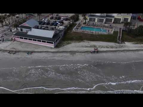
Additional NWS Jacksonville reports placed the Fernandina Beach gauge at 0.78 m (2.56 feet), just above its 0.76 m (2.50 feet) moderate threshold, and Dames Point at 0.77 m (2.53 feet), above its 0.64 m (2.1 feet) threshold. Broadcast imagery showed tidal flooding across Front Street in Fernandina Beach.
The highest-level warnings began easing in South Florida on the evening of October 28, but the flooding threat continued. NWS Miami replaced its Coastal Flood Warning with an advisory for the Atlantic coasts of Palm Beach, Broward and Miami-Dade counties. The office said on October 29 that coastal flooding remained likely during high-tide cycles and that gauges could again reach moderate flood levels.

Farther north, NWS Melbourne maintained a Coastal Flood Warning for the Atlantic coast from Volusia County through Martin County until 14:00 EDT (18:00 UTC) on October 29, followed by a Coastal Flood Advisory through 08:00 EDT (12:00 UTC) on October 31. The warning cited significant coastal flooding, possible road closures, inundation of low-lying property, and shoreline erosion.
NWS Jacksonville kept Coastal Flood Warnings in effect until 14:00 EDT (18:00 UTC) on October 29 for the coasts of Duval, Flagler and St. Johns counties before advisories were scheduled to take effect. A separate warning for the St. Johns River Basin remained in effect through 05:00 EDT (09:00 UTC) on October 31 because elevated water was expected to recede more slowly there.

The event coincided with South Florida’s highest predicted king-tide period of the year. Miami-Dade County identifies October 24–30 as one of its peak 2026 king-tide windows, while the South Florida Water Management District placed the annual maximum predicted East Coast tide on October 27.
The district said wind direction, ocean currents and other meteorological and oceanic conditions can push observed water levels above astronomical predictions.
Although peak levels had begun to ease, warnings and advisories showed that vulnerable roads, properties and tidal waterways remained at risk through the end of the week. Authorities advised residents not to drive through flooded roads or around barricades and to protect flood-prone property.
References:
1 Preliminary Local Storm Report: Fort Lauderdale coastal flooding – NWS Miami – October 27, 2026
2 Top-10 Highest Water Levels: Lake Worth Pier, station 8722670 – NOAA Tides & Currents – Accessed October 29, 2026.
3 Top-10 Highest Water Levels: South Port Everglades, station 8722956 – NOAA Tides & Currents – Accessed October 29, 2026
4 King tides inundate streets and flood homes and businesses along both U.S. coasts – AP – October 28, 2026

Rishav Kothari is Editor-in-Chief of The Watchers, where he runs the newsroom and covers earthquakes, volcanoes, severe weather and space weather.
