
Tropical Storm “Faxai” forms in the Pacific Ocean, heading toward Tokyo, Japan
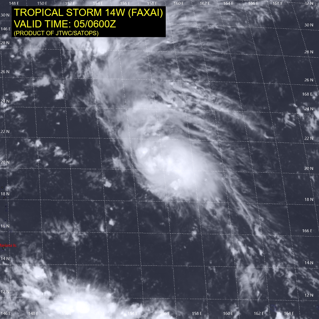
Featured image: Tropical Storm "Faxai" at 10:00 UTC on September 5, 2019. Credit: JMA/Himawari-8
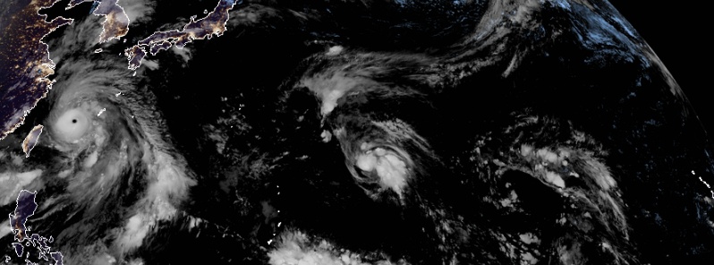
Tropical Storm "Faxai" formed in the Pacific Ocean on September 5, 2019, as the 15th named storm of the 2019 Pacific typhoon season.
At of 06:00 UTC on September 5, the center of Tropical Storm "Faxai" was located about 1 685 km (1 050 miles) ESE of Iwo To, Japan.
Its maximum 10-minute sustained winds were 65 km/h (40 mph), while maximum 1-minute sustained winds were 65 km/h (40 mph), with gusts up to 95 km/h (60 mph).
The minimum central barometric pressure was 1002 hPa and the system was moving northwestward at 19 km/h (12 mph).
The system will continue on its current track, and turn more northwestward after 48 hours.
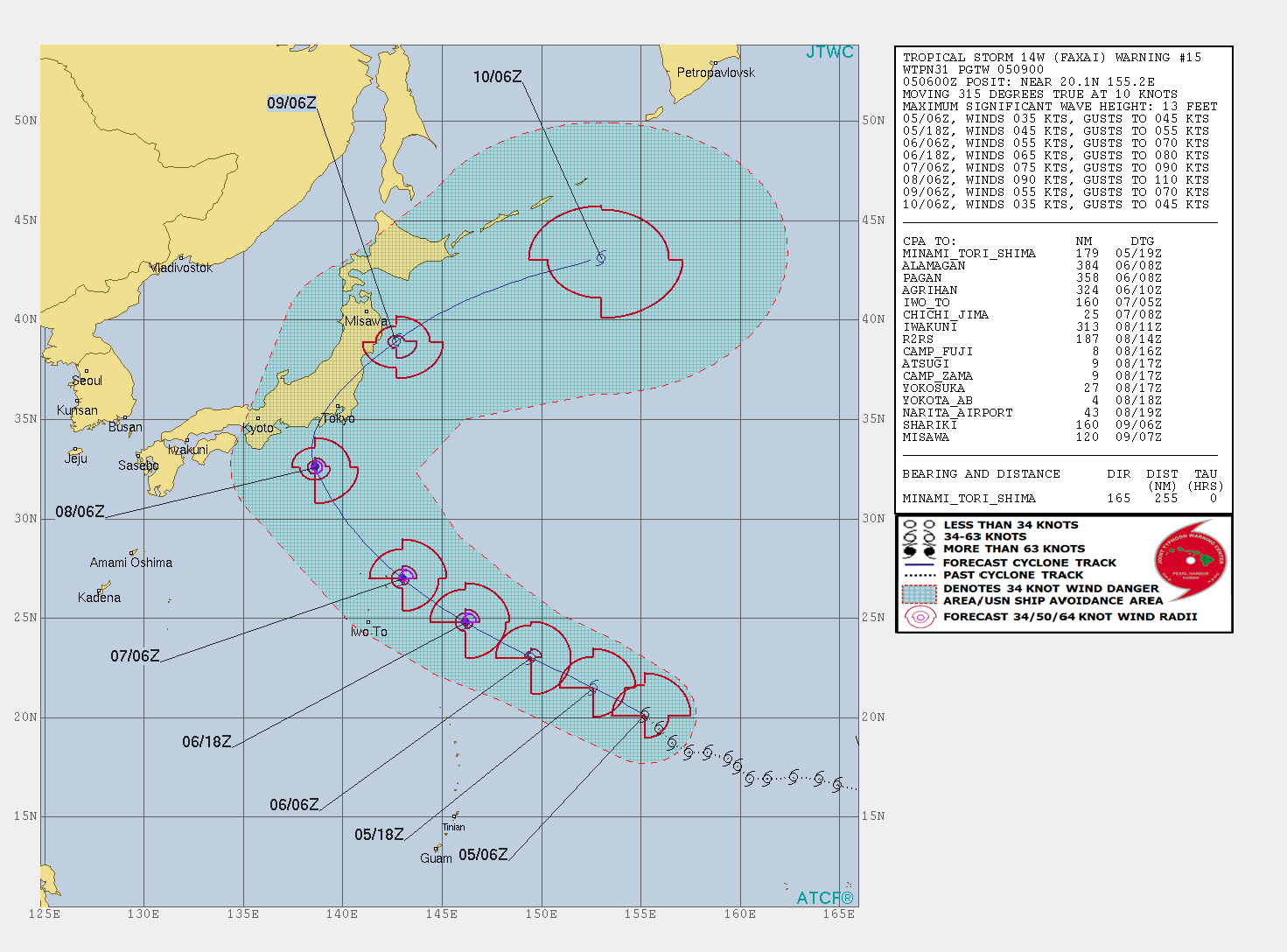
Favorable environment will allow intensification to peak at 167 km/h (103 mph) by 09:00 UTC on September 8.
JTWC expects landfall near Tokyo around 12:00 UTC on September 8.
Extratropical transition is expected on September 9 as the cyclone accelerates northeastward across the Kanto Plain, exiting back over the Pacific Ocean.
I'm a dedicated researcher, journalist, and editor at The Watchers. With over 20 years of experience in the media industry, I specialize in hard science news, focusing on extreme weather, seismic and volcanic activity, space weather, and astronomy, including near-Earth objects and planetary defense strategies. You can reach me at teo /at/ watchers.news.
Commenting rules and guidelines
We value the thoughts and opinions of our readers and welcome healthy discussions on our website. In order to maintain a respectful and positive community, we ask that all commenters follow these rules.