
Tropical storm Talas enters the Sea of Japan
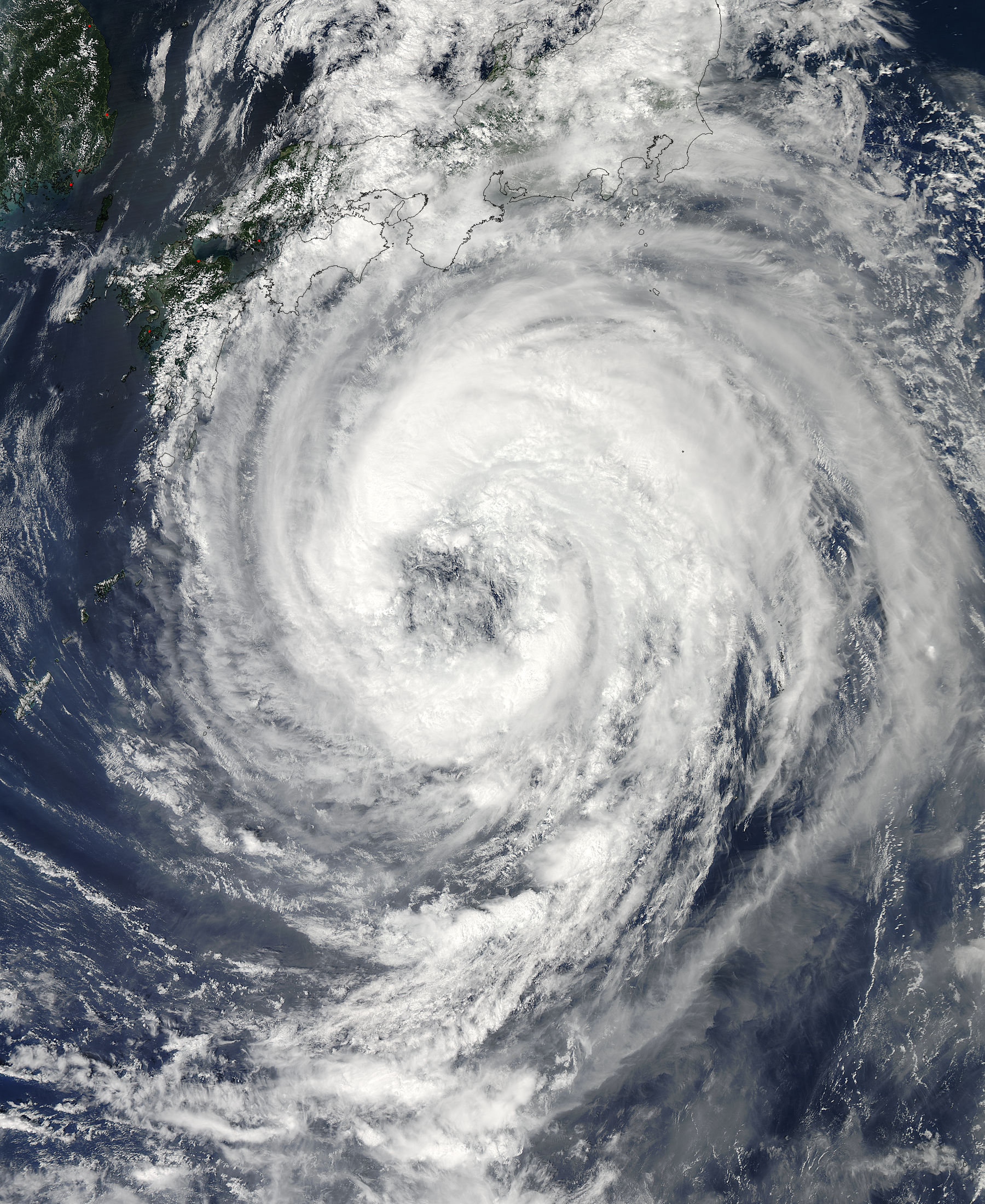
Image credit: TW
Tropical Storm Talas formed over the western Pacific Ocean on August 25, 2011. By September 1, storm clouds had reached the southern shores of Japan. The Moderate Resolution Imaging Spectroradiometer (MODIS) on NASA’s Aqua satellite took this picture of the storm the same day.

As of 6:00 p.m. Tokyo time on September 1, 2011, the U.S. Navy’s Joint Typhoon Warning Center (JTWC) reported that Talas had maximum sustained winds of 55 knots (100 kilometers per hour) and gusts up to 70 knots (130 kilometers per hour). The storm was located roughly 405 nautical miles (750 kilometers) south of Kyoto.

At 09:00 UTC on September 3, the JTWC described Talas with a weakening low level circulation center tracking over Shikoku, Japan. Tropical Storm Talas is expected to continue tracking northward across Honshu, then, after entering the Sea of Japan fully transition into an extra-tropical low before it dissipates.

Commenting rules and guidelines
We value the thoughts and opinions of our readers and welcome healthy discussions on our website. In order to maintain a respectful and positive community, we ask that all commenters follow these rules.