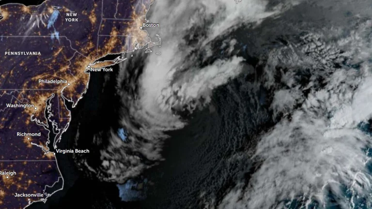
• Subtropical Storm Josephine forms off U.S. East Coast, forecast to become a hurricane-force extratropical cyclone

    Subtropical Storm Josephine was accelerating northeastward away from the U.S. East Coast at 05:00 AST (09:00 UTC) on October 22, 2026, with maximum sustained winds of 100 km/h (65 mph). The National Hurricane Center forecast Josephine to lose its subtropical characteristics later October 22 or overnight into October 23 while strengthening through interaction with an approaching upper-level trough, becoming a hurricane-force extratropical cyclone within 24 hours.

  • Hurricane Isaias leaves at least six dead, hundreds of thousands without power after Florida landfall

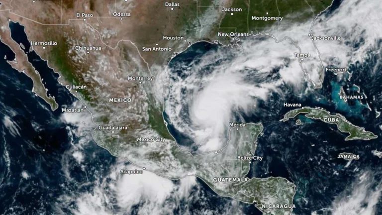
    At least six people died after Hurricane Isaias made landfall near Destin, Florida, as a Category 2 hurricane at about 20:30 LT on October 9 (01:30 UTC on October 10). Approximately 408 000 customer accounts remained without power across Florida, Alabama, Georgia and Mississippi shortly before 13:00 UTC on October 11, while the post-tropical cyclone continued producing flooding and wind hazards farther northeast.

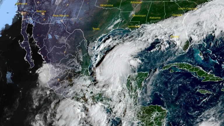
  • Hurricane and storm surge watches issued for northern Gulf Coast as Isaias strengthens, U.S.

    Hurricane, storm surge and tropical storm watches were issued for portions of the U.S. northern Gulf Coast on Wednesday morning, October 7, 2026, as Tropical Storm Isaias strengthened over the Gulf of America, according to the National Hurricane Center (NHC). The watches extend from the mouth of the Mississippi River eastward to Yankeetown, Florida.

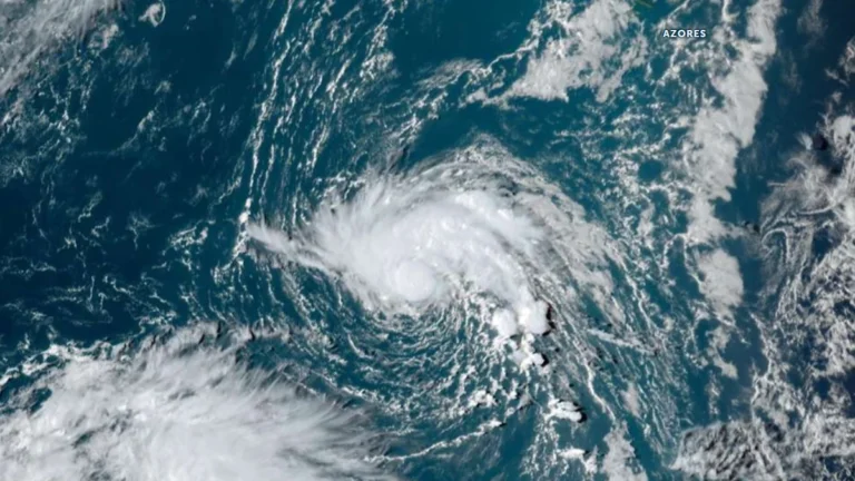
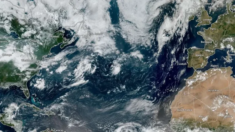
  • Tropical Depression Six forms over the North Atlantic, forecast to strengthen into Tropical Storm Fay

    Tropical Depression Six formed southwest of the Azores on September 19, 2026, with initial maximum sustained winds of 55 km/h (35 mph). The NHC forecast the depression to reach tropical-storm intensity by 00:00 UTC on September 20 and strengthen further to 75 km/h (45 mph) by 00:00 UTC on September 21. The system would receive the name Fay if upgraded to a tropical storm.

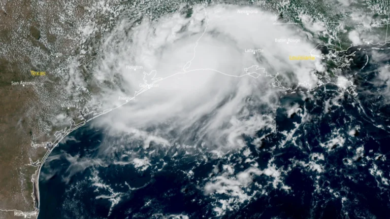
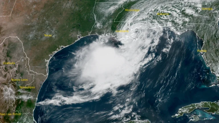
  • Edouard weakens to tropical depression over Texas, WPC warns of significant flash flooding

    Tropical Storm Edouard made landfall near Johnson Bayou, Louisiana, at 14:20 CDT (19:20 UTC) on September 1 with winds of 95 km/h (60 mph), then weakened to a tropical depression over southeastern Texas. The Weather Prediction Center forecast storm-total rainfall of 102–203 mm (4–8 inches), with localized totals near 305 mm (12 inches), while Flood Watches remained in effect and approximately 70 000 Entergy Texas customers were without power late September 1.

  • Tropical Storm Edouard strengthens in northern Gulf, Hurricane Watch issued for Texas and Louisiana

    Tropical Storm Edouard was strengthening over the northern Gulf early on September 1, 2026, after Tropical Depression Five became a named storm at 00:00 UTC. The National Hurricane Center (NHC) issued a Hurricane Watch and Storm Surge Warning for portions of the Upper Texas and southwestern Louisiana coasts at 03:00 UTC, warning that Edouard could approach hurricane strength before reaching the northwestern Gulf Coast later on September 1.

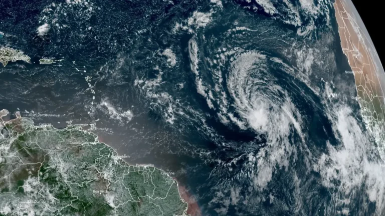
  • Tropical Storm Dolly forms over central Atlantic, heavy rain forecast for Caribbean islands

    Tropical Storm Dolly formed over the central tropical Atlantic at 15:00 UTC on August 27, 2026, as the third named storm of the 2026 Atlantic hurricane season. The National Hurricane Center (NHC) forecasts Dolly to approach the Leeward Islands during the weekend, bringing possible heavy rain and flash flooding to parts of the Caribbean before it degenerates into a tropical wave.

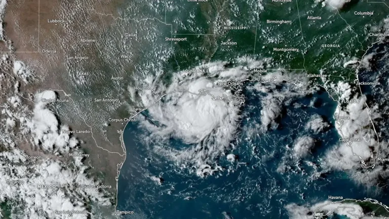
  • Tropical Storm Bertha makes landfall in St Bernard Parish, Louisiana, heads toward upper Texas coast

    Tropical Storm Bertha made landfall at approximately in St. Bernard Parish, Louisiana at approximately 13:50 CDT (18:50 UTC)on July 22, 2026, with maximum sustained winds of 72 km/h (45 mph). Storm surge of up to 1 m (3 feet), rainfall totals of 25 to 100 mm (1 to 4 inches) with isolated amounts reaching 150 mm (6 inches), and isolated flash flooding remain possible across portions of the central and western Gulf Coast through July 24.