• Edouard weakens to tropical depression over Texas, WPC warns of significant flash flooding

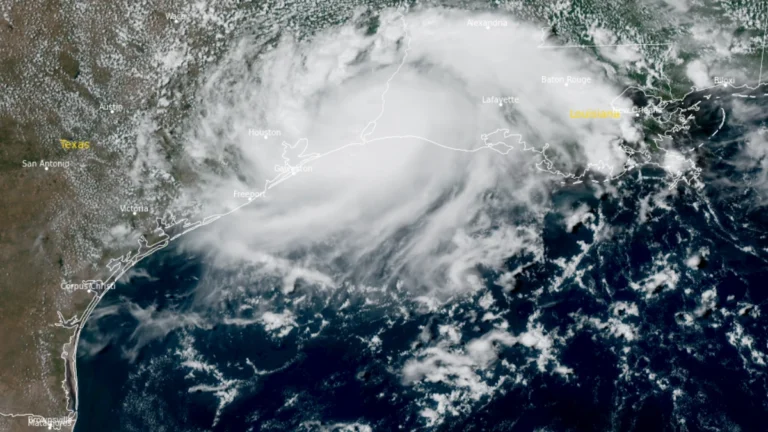
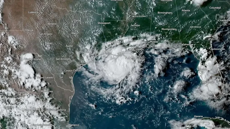
    Tropical Storm Edouard made landfall near Johnson Bayou, Louisiana, at 14:20 CDT (19:20 UTC) on September 1 with winds of 95 km/h (60 mph), then weakened to a tropical depression over southeastern Texas. The Weather Prediction Center forecast storm-total rainfall of 102–203 mm (4–8 inches), with localized totals near 305 mm (12 inches), while Flood Watches remained in effect and approximately 70 000 Entergy Texas customers were without power late September 1.
  • Tropical Storm Edouard strengthens in northern Gulf, Hurricane Watch issued for Texas and Louisiana

    Tropical Storm Edouard was strengthening over the northern Gulf early on September 1, 2026, after Tropical Depression Five became a named storm at 00:00 UTC. The National Hurricane Center (NHC) issued a Hurricane Watch and Storm Surge Warning for portions of the Upper Texas and southwestern Louisiana coasts at 03:00 UTC, warning that Edouard could approach hurricane strength before reaching the northwestern Gulf Coast later on September 1.

  • Tropical Storm Karina forecast to reach major hurricane strength, bringing hazardous swells to Mexico as Lowell strengthens

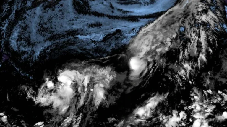
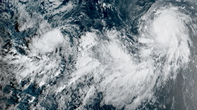
    The National Hurricane Center (NHC) named Tropical Storms Karina and Lowell at 21:00 UTC on August 27, 2026, as two separate systems developed over the eastern Pacific, with Karina well offshore southwestern Mexico and Lowell farther west. By 15:00 UTC on August 28, Karina had maximum sustained winds of 85 km/h (50 mph) and was forecast to reach 205 km/h (125 mph) on August 31. Swells generated by Karina were expected to produce life-threatening surf and rip current conditions along portions of southwestern Mexico and the Baja California Peninsula during the weekend of August 29–30. Lowell had maximum sustained winds of 75 km/h (45 mph) and was forecast to become a hurricane by August 31.

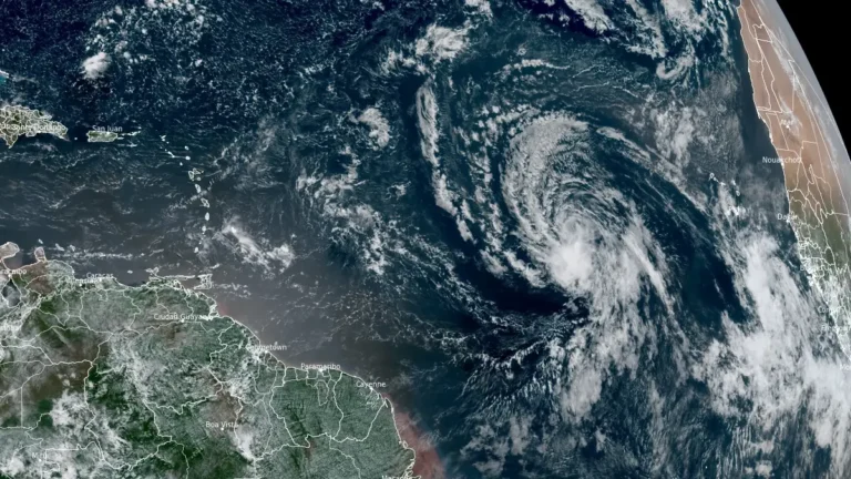
  • Tropical Storm Dolly forms over central Atlantic, heavy rain forecast for Caribbean islands

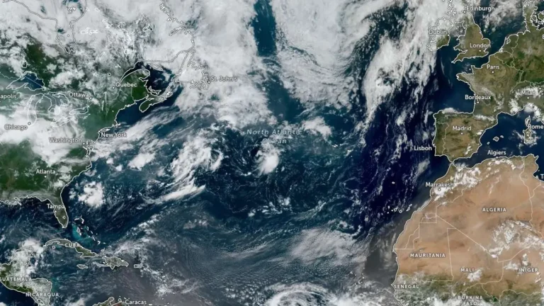
    Tropical Storm Dolly formed over the central tropical Atlantic at 15:00 UTC on August 27, 2026, as the third named storm of the 2026 Atlantic hurricane season. The National Hurricane Center (NHC) forecasts Dolly to approach the Leeward Islands during the weekend, bringing possible heavy rain and flash flooding to parts of the Caribbean before it degenerates into a tropical wave.

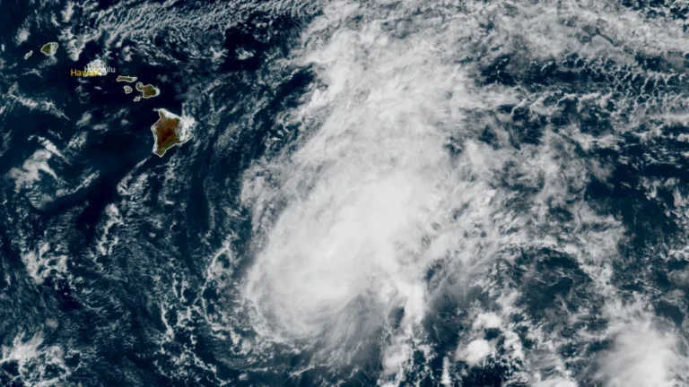
  • Hawaiʻi County declares emergency as Tropical Storm Moke raises flood risk on Lala-damaged Big Island

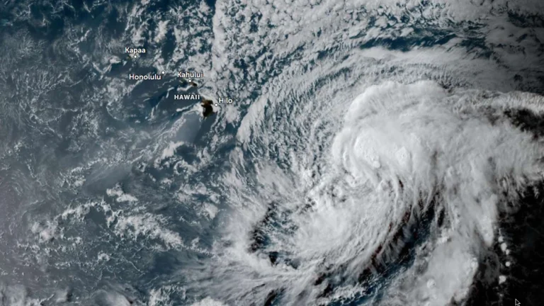
    Hawaiʻi County declared a local state of emergency and announced six shelters on August 22, 2026, as Tropical Storm Moke moved west south of the islands, with heavy rain forecast over saturated areas damaged by Hurricane Lala. At 23:00 HST on August 22 (09:00 UTC on August 23), Moke was 530 km (330 miles) south-southeast of Hilo with maximum sustained winds of 75 km/h (45 mph).

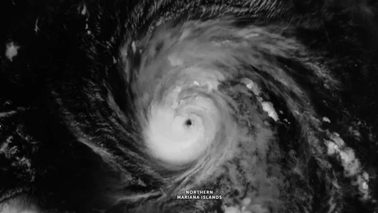
  • Typhoon Saudel rapidly intensifies, passes close to Agrihan, Northern Mariana Islands

    Typhoon Saudel passed close to Agrihan on August 22, 2026, bringing destructive winds, torrential rain, dangerous surf and coastal inundation to the far Northern Mariana Islands. The National Weather Service (NWS) maintained Typhoon Warnings for Agrihan, Pagan and Alamagan and forecast winds of 129–161 km/h (80–100 mph), with gusts reaching 209 km/h (130 mph).

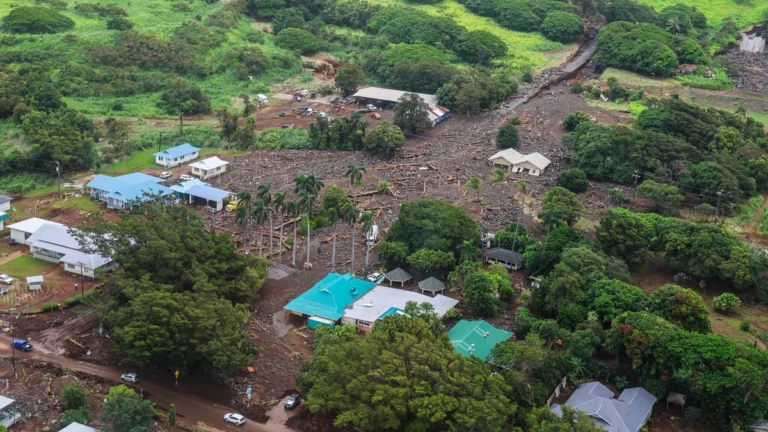
  • Hurricane Lala leaves one dead, more than 100 homes damaged or destroyed in Hawaii

    Officials confirmed one death linked to Hurricane Lala as Hawaii remained in recovery on August 18, 2026, after the storm caused severe flooding, landslides, and widespread infrastructure damage. More than 100 homes were reported damaged or destroyed on Hawaiʻi Island, while Hawaiian Electric reported 88 670 customers without power across its service territory at 18:00 HST on August 17 (04:00 UTC on August 18).

  • Hurricane Warning issued for Hawaiʻi Island as Tropical Storm Lala strengthens

    Tropical Storm Lala is forecast to strengthen into a hurricane by August 15, 2026, as it approaches Hawaiʻi, according to the National Hurricane Center (NHC). A Hurricane Warning is in effect for Hawaiʻi Island, and the governor issued an emergency proclamation on August 13 as state and local authorities prepared for worsening wind, rainfall, and coastal conditions.

  • Potential Tropical Cyclone One-C moving toward Hawaii, heavy rain, strong winds and dangerous surf forecast

    Potential Tropical Cyclone One-C was moving toward the Hawaiian Islands on August 13, 2026 with 1-minute sustained winds of 65 km/h (40 mph). The system is forecast to continue strengthening during its approach. Heavy rainfall, strong winds and dangerous surf were forecast for parts of Hawaii starting late August 14. Meanwhile Tropical Storm Hernan that formed far west of Baja California, was forecast to weaken