
Tropical storm path plot shows Louisiana and Mississippi more prone to hurricane activity than other states
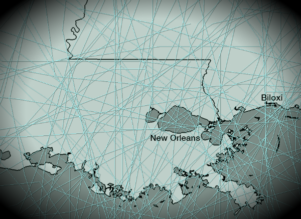
Image credit: TW
Hurricane Isaac and Hurricane Katrina made landfall on almost the same day on the same location, with 7 year difference. Some areas of US are just more prone to hurricane activity than others. Especially, Louisiana and Mississippi.
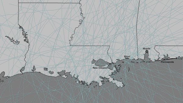
Here are plotted the paths of the 140 tropical cyclones – from Tropical Depression to Category 5 Hurricane – that have passed the states of Louisiana and Mississippi from 1850 until 2011 provided by NOAA Coastal Services Center.
View more: Historical Hurricane Tracks

Earlier reporting
Nothing on Watchers was published in the last 24 hours. These are older articles.
- Cyclone Akvan to make landfall between Nellore and Visakhapatnam around noon on November 20, IMD forecasts 120-130 km/h winds gusting to 145
- Bay of Bengal system to become Cyclone Akvan, landfall forecast between Nellore and Tuni on November 20, India
- Tropical Cyclone Xavier reaches Category 2 over Northern Cook Islands, gale warning for Manihiki and Rakahanga
- On October 22, 2017, a single flash of lightning stretched 515 miles from eastern Texas to near Kansas City, a distance that takes eight hours to drive, and nobody realized how far it had gone until scientists went back through the satellite data years later Epicenter

[…] Tropical storm path plot shows Louisiana and Mississippi more prone to hurricane activity than other… Hurricane Isaac and Hurricane Katrina made landfall on almost the… […]
[…] via The Watchers – Tropical storm path plot shows Louisiana and Mississippi more prone to hurrican…. […]
[…] https://watchers.news/2012/09/09/tropical-storm-path-plot/ Share this:TwitterFacebookLike this:LikeBe the first to like this. […]