
New Jersey counties under State of Emergency as Nor’easter brings heavy snow to the U.S. Northeast
The season’s first Nor’easter began impacting the Mid-Atlantic and Northeast overnight, prompting a State of Emergency in parts of New Jersey and school closures across multiple states. The storm is forecast to rapidly intensify, possibly dropping up to 30 cm (12 inches) of snow across parts of the interior Northeast through Tuesday, December 2, 2025.
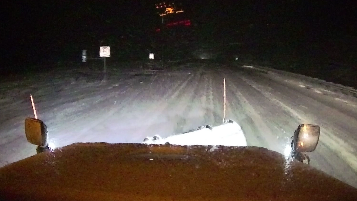
Snow covered I-270 in Ohio on December 2, 2025. Credit: ODOT
A powerful Nor’easter is sweeping across the Mid-Atlantic and the East Coast, bringing heavy snow across the region, including areas along the I-95 corridor on Tuesday.
New Jersey Governor Phil Murphy declared a State of Emergency through Tuesday for Hunterdon, Morris, Passaic, Sussex, and Warren counties due to heavy snow and sleet forecast across the region.
“Starting early tomorrow morning, we anticipate snowfall, sleet, and freezing rain. I urge all drivers to exercise caution, remain alert, and follow all safety protocols,” said Governor Murphy.
The storm, along with the departing winter storm, had prompted winter weather advisories on Monday, December 1. While many of the advisories have expired, much of the interior Northeast remains under winter weather advisories and warnings through Tuesday.
The heavy snowfall is compounding the effects of the Thanksgiving winter storm that swept across the region last week.
Pennsylvania State Police responded to over 289 crashes and 300 stranded motorists between 04:30 and 09:30 local time (LT) on Tuesday, FOX Weather reported.
Heavy overnight snowfall due to the storm also prompted closures and delays in some central Ohio colleges and Universities on Tuesday as parts of the state recorded up to 11 cm (4.5 inches) of snowfall. Meanwhile schools across the central and northern U.S. reported closures and delays.
Columbus State College cancelled all in-person and live online classes for the day, as the majority of the students are commuters. Meanwhile, Capital University delayed classes, activities, and office openings until 10:00 LT at its Bexley and Law School campuses.
Otterbein University also delayed the start of its school day. Classes will begin with regularly scheduled start times of 11:30 LT or later. All offices will be closed and reopen at 11:30 LT.
The storm is forecast to rapidly intensify through Tuesday night, becoming a bomb cyclone by Wednesday morning, December 3, and producing heavy snow and blizzard conditions in parts of the Northeast.
Snowfall rates of up to 2.5 cm (1 inch) per hour are forecast across the interior Northeast through Tuesday night, with the heaviest snow being expected from Poconos through Downeast Maine where up to 13–25 cm (5–10 inches) of snow is forecast through the night. Isolated totals could reach up to 30 cm (12 inches) in some areas.
Freezing rain across the south-central Appalachians will create slippery roads and dangerous travel conditions due to ice accretions of 2.5–5 mm (0.1–0.2 inches) across the region on Tuesday morning.
The storm is expected to then move toward Nova Scotia and Newfoundland, Canada, where it will bring hurricane-force winds and snow totals of 25–38 cm (10–15 inches), creating intense blizzard conditions.
Read more:

I am an Assistant Editor and Severe Weather & Science Journalist at The Watchers, specializing in real-time severe weather coverage, geophysical event reporting, and research-driven scientific analysis. You can reach me at rishav(at)watchers(.)news.
Commenting rules and guidelines
We value the thoughts and opinions of our readers and welcome healthy discussions on our website. In order to maintain a respectful and positive community, we ask that all commenters follow these rules.