• Champi briefly reaches super typhoon strength after its closest approach to Guam causes widespread outages

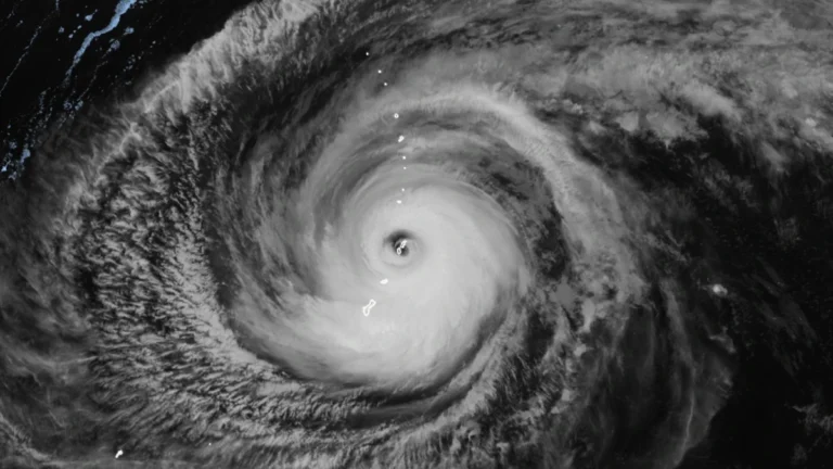
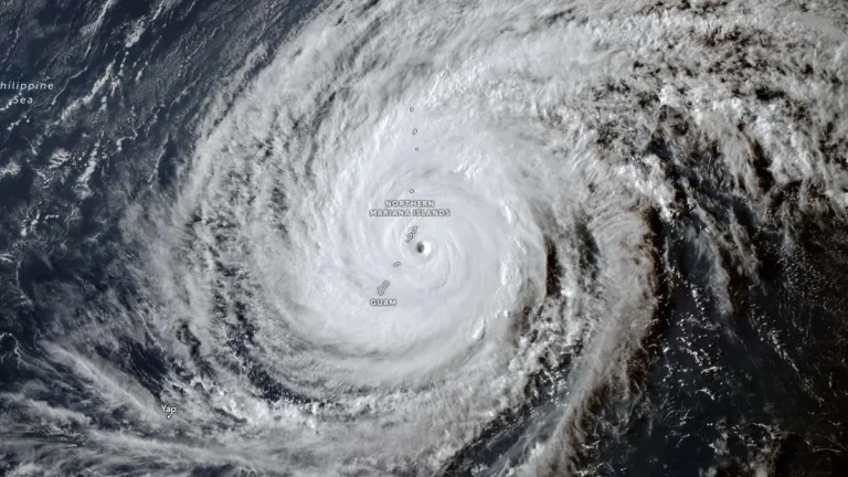
    Typhoon Champi passed about 16 km (10 miles) south of Merizo, Guam, at 04:26 ChST on October 18 (18:26 UTC on October 17) and was upgraded to a super typhoon about three hours later. The Joint Typhoon Warning Center (JTWC) post-analysis placed its 00:00 UTC intensity at 269 km/h (167 mph) before the cyclone weakened to 222 km/h (140 mph) by 12:00 UTC, while Guam authorities reported widespread power outages and disruptions to water services.
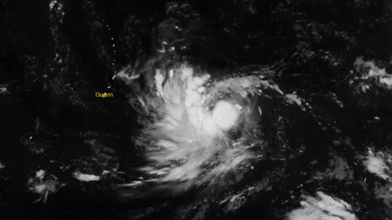
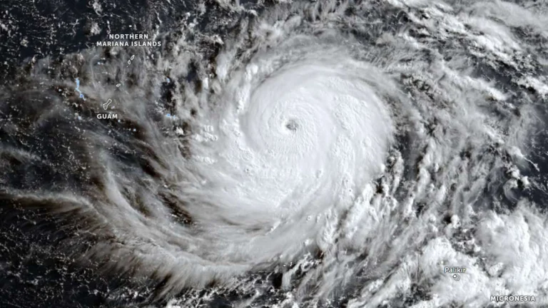
  • Typhoon and Flood watches cover Mariana Islands as Tropical Storm Champi approaches

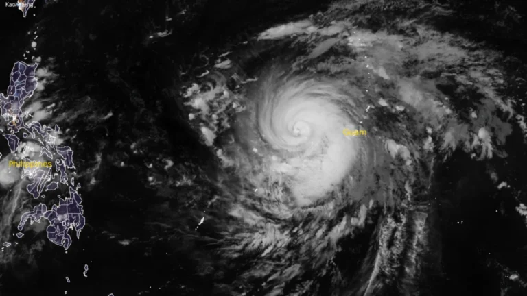
    Typhoon and Flood watches were in effect for Guam, Rota, Tinian and Saipan early October 16 as Tropical Storm Champi moved west toward the Mariana Islands. NWS Guam said damaging winds were likely late October 17 and on October 18, while storm-total rainfall of 152–305 mm (6–12 inches) could cause flooding in urban, low-lying and poorly drained areas.

  • Super Typhoon Bavi strengthens into Category 5 as Guam, Northern Mariana Islands brace for possible catastrophic impacts

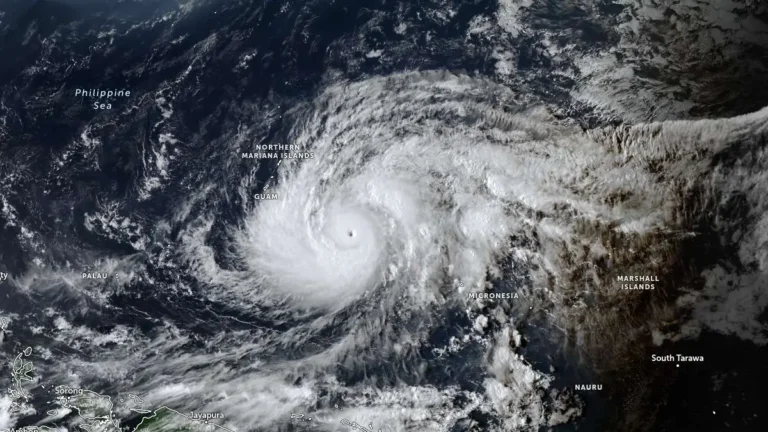
    Super Typhoon Bavi reached Category 5 strength over the western North Pacific on Saturday, July 4, 2026 as it tracked toward the Mariana Islands. Forecasters expect the cyclone to pass very near Rota before moving between Guam and Saipan on Monday morning. Typhoon warnings have been issued for Guam, Rota, Tinian, and Saipan amid forecasts of destructive winds, life-threatening coastal inundation, widespread flash flooding and catastrophic damage early next week.

  • Super Typhoon Sinlaku cripples power, roads and key infrastructure on Saipan and Tinian

    Super Typhoon Sinlaku struck the Northern Mariana Islands late on April 14, 2026, bringing sustained winds near 241 km/h (150 mph) at peak impact and unusually slow movement that kept destructive conditions over populated islands for hours. The islands of Saipan and Tinian sustained widespread infrastructure damage, prolonged utility outages, blocked roads, and flooding, with officials warning that full restoration in some hard-hit areas could take days to weeks.

  • Super Typhoon Sinlaku nears Saipan and Tinian with destructive winds, flooding and dangerous surf

    Super Typhoon Sinlaku approached Saipan and Tinian on April 14, 2026, with destructive typhoon-force winds, life-threatening coastal flooding and torrential rain expected through Wednesday. The National Weather Service said the storm’s center was just southeast of the islands Tuesday afternoon local time, with the eyewall nearing both islands and dangerous conditions already affecting parts of the Marianas.

  • Typhoon Sinlaku forecast to reach super typhoon strength before nearing the Marianas, Typhoon Warnings issued for Rota, Tinian and Saipan

    Typhoon Sinlaku intensified into a dangerous major typhoon over the western Pacific on April 12, 2026, as officials issued typhoon warnings for Rota, Tinian and Saipan, and a tropical storm warning for Guam. The storm was forecast to strengthen further on April 13, reaching super typhoon strength, before nearing the Marianas, where destructive winds, coastal inundation, and flash flooding are possible from late April 13 into April 14.