• Polar vortex strengthens over Arctic, very strong El Niño supports mid-winter weakening signal

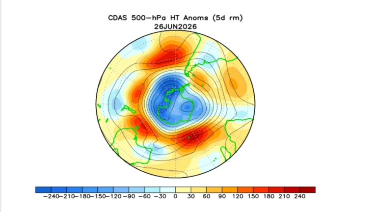
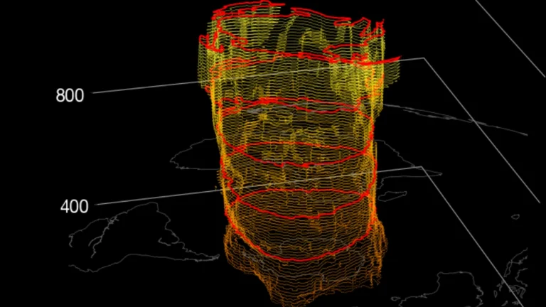
    The Northern Hemisphere polar vortex is forming normally over the Arctic and was stronger than average by NASA’s wind diagnostic in mid-September 2026. The developing very strong El Niño could favor atmospheric wave patterns that weaken the vortex later in winter, with seasonal guidance showing a possible weakening during January and February 2027.

  • NOAA raises chance of historic-strength El Niño to 75% for October–December 2026

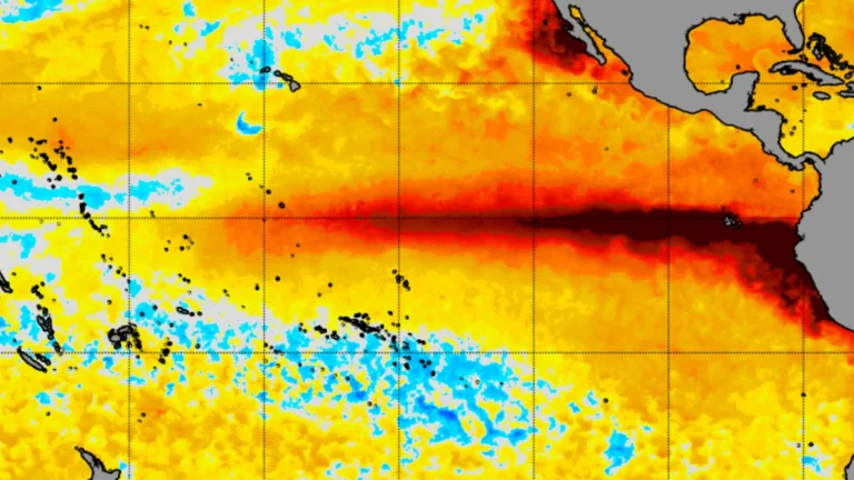
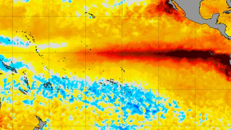
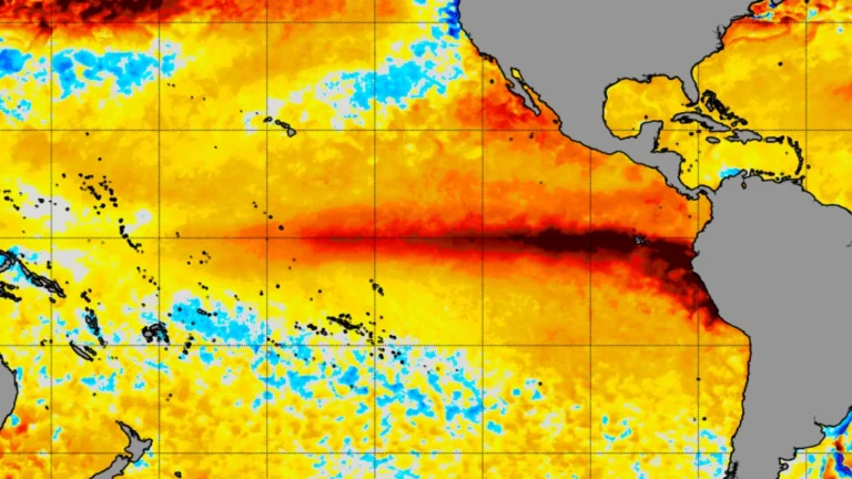
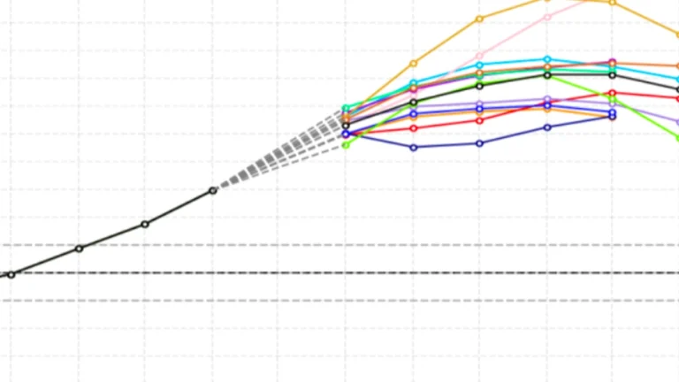
    The Climate Prediction Center (CPC) raised the probability of a historic-strength El Niño during October–December 2026 to 75% on September 10, up from 69% in August, after the coupled ocean-atmosphere event strengthened further across the tropical Pacific. CPC also raised the probability of a very strong event during the same three-month period from 95% to 98%.

  • El Niño forecast to become very strong by late 2026, raising extreme weather risks into 2027

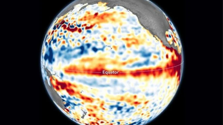
    El Niño is forecast to strengthen to very strong intensity during late 2026, with the World Meteorological Organization (WMO) indicating an exceptionally high likelihood of nearly 100% that El Niño conditions will persist through February 2027. NOAA’s Climate Prediction Center (CPC) separately gives a greater than 90% chance of a very strong event during Northern Hemisphere fall and winter 2026–27. A very strong El Niño increases the likelihood of major shifts in rainfall and temperature patterns across many regions, although the severity of impacts varies by location and season.

  • Global sea surface temperature sets new record, reaching 21.1°C (70°F) as El Niño strengthens

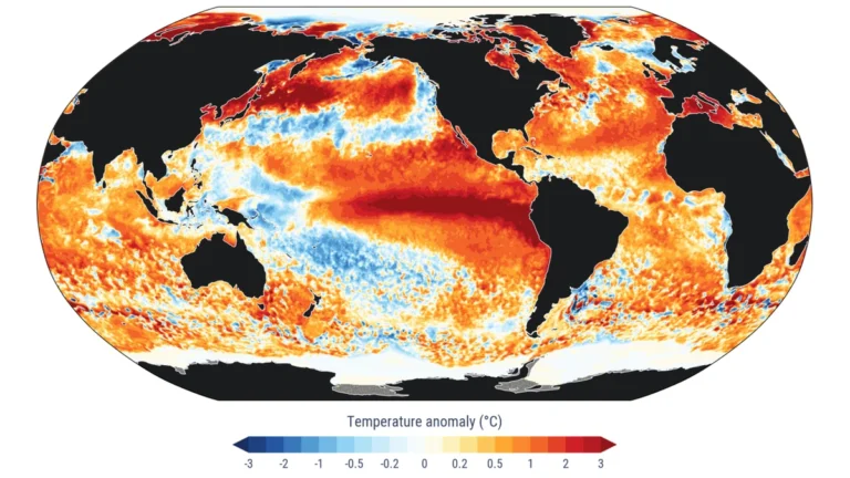
    The daily average sea surface temperature across the extra-polar global ocean, between 60°S and 60°N, reached 21.1°C (70°F) on August 22, 2026, the highest value in the Copernicus Climate Pulse record beginning in 1979. The reading exceeded the previous daily record of 21.09°C (69.96°F), set in March 2024, and came in August, although temperatures across the domain normally reach their annual maximum in March and April.

  • El Niño forecast to reach historic strength ahead of winter 2026–27

    NOAA’s Climate Prediction Center (CPC) has raised the probability of a very strong El Niño during late 2026, increasing the likelihood of characteristic El Niño impacts across the United States during winter 2026–27. Current seasonal guidance favors wetter-than-normal conditions across much of the southern tier and drier conditions across parts of the Northwest and northern United States, while above-normal temperatures are favored across much of the West, northern tier and parts of the East.

    The probability of a very strong El Niño during October–December rose from 81% in CPC’s July assessment to 95% in August, with a 69% chance that the Relative Oceanic Niño Index (RONI) will reach at least +2.5°C (+4.5°F), a level that would exceed previous El Niño events in NOAA’s record dating to 1950. The strength and location of tropical Pacific warming and convection will influence how closely winter 2026–27 follows established El Niño patterns.

  • NOAA confirms strengthening El Niño, with 81% chance of very strong conditions in October–December 2026

    El Niño is present and strengthening across the central and eastern equatorial Pacific, the National Oceanic and Atmospheric Administration (NOAA) confirmed on August 3, 2027.Meanwhile its July strength outlook gives an 81% chance of very strong conditions during October–December 2026. WMO’s August–October 2026 outlook also shows associated shifts in seasonal temperature and rainfall probabilities across multiple regions.NOAA maintains an El Niño Advisory.

  • Negative Southern Annular Mode develops, bringing snow, storms and colder conditions to southern Australia

    A negative Southern Annular Mode (SAM) developed over the Southern Hemisphere on July 18, 2026, triggering a sharp shift in Australia’s winter weather. The change is expected to push cold fronts farther north through the remainder of July, bringing heavy rain, damaging winds, hail and low-level snow to Tasmania while leaving much of eastern New South Wales dry and unusually mild, according to Weatherzone meteorologist Ben Domensino. Forecast models indicate the negative phase is likely to persist for the rest of the month.

  • Rare Atlantic Niña develops as strengthening El Niño points to quieter 2026 Atlantic hurricane season

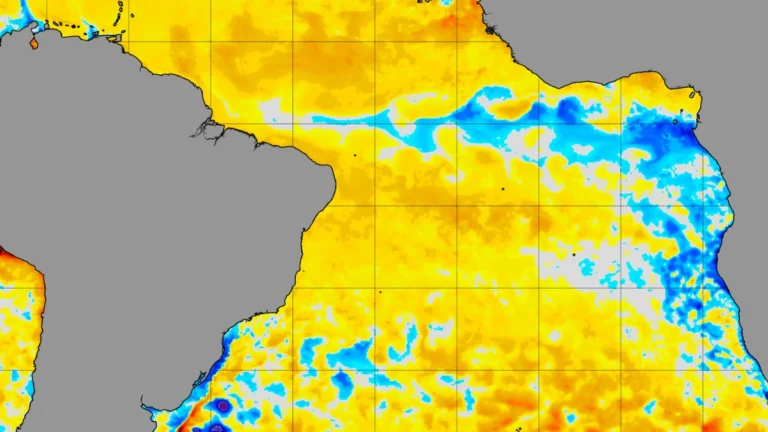
    A rare Atlantic Niña has developed across the equatorial Atlantic while El Niño continues strengthening in the tropical Pacific. Although Atlantic Niña events are relatively uncommon, forecasters say the developing pattern could reinforce atmospheric conditions that typically suppress tropical cyclone formation across the Atlantic basin.

  • Strengthening El Niño and Atlantic cold anomaly in focus for Winter 2026–27 outlook

    A strengthening El Niño and a persistent cool sea-surface-temperature anomaly in the subpolar North Atlantic, associated with the feature known in climate research as the North Atlantic warming hole, may influence large-scale atmospheric circulation during early Winter 2026–27 across North America and Europe, according to seasonal forecast guidance from major international forecasting centers.