
Renewed unrest at Semisopochnoi, alerts raised, Alaska
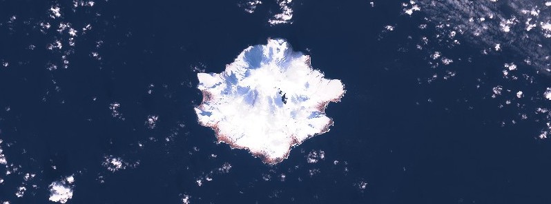
Featured image: Semisopochnoi on February 6, 2021. Credit: Copernicus EU/Sentinel-2, TW
High-resolution satellite imagery acquired on February 6, 2021, showed a small ash deposit extending less than 3 km (1.8 miles) to the north from North Cerebus Crater on Semisopochnoi Island, Alaska, U.S. Steam emissions obscured views into the crater, the Alaska Volcano Observatory (AVO) reports.
There is no evidence for continuing activity, but observation of a new deposit suggests renewed unrest, AVO said, and increased the Aviation Color Code to Yellow and the Volcano Alert Level to Advisory.
Small eruptions producing minor ash deposits within the vicinity of the volcano are typical of activity during unrest at Semisopochnoi since September 2018, with the last detected activity in June 2020.
Local seismic stations have been offline since November 11, 2020.
New explosions could occur at anytime with no warning, AVO said.
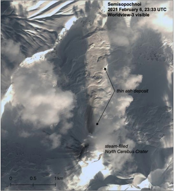
Worldview-3 satellite image of Semisopochnoi on February 6, 2021. A thin ash deposit is visible <3 km (1.8 miles) to the north of the North Cerebus crater, which is filled with steam.
Image credit: USGS/AVO, Matt Loewen. Imagery DigitalGlobe via NextView license
Geological summary
Semisopochnoi, the largest subaerial volcano of the western Aleutians, is 20 km (12.4 miles) wide at sea level and contains an 8-km-wide (5 miles) caldera. It formed as a result of collapse of a low-angle, dominantly basaltic volcano following the eruption of a large volume of dacitic pumice.
The high point of the island is 1221-m-high (4 005 feet) Anvil Peak, a double-peaked late-Pleistocene cone that forms much of the island's northern part.
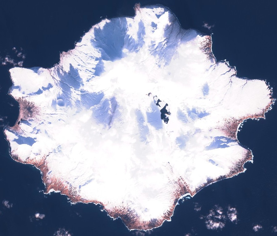
Semisopochnoi on February 6, 2021. Credit: Copernicus EU/Sentinel-2, TW
The three-peaked 774-m-high (2 539 feet) Mount Cerberus volcano was constructed during the Holocene within the caldera. Each of the peaks contains a summit crater; lava flows on the northern flank of Cerberus appear younger than those on the southern side.
Other post-caldera volcanoes include the symmetrical 855-m-high (2 903 feet) Sugarloaf Peak SSE of the caldera and Lakeshore Cone, a small cinder cone at the edge of Fenner Lake in the NE part of the caldera.
Most documented historical eruptions have originated from Cerberus, although Coats (1950) considered that both Sugarloaf and Lakeshore Cone within the caldera could have been active during historical time.
This volcano is located within the Aleutian Islands, a UNESCO Biosphere Reserve property.
I'm a dedicated researcher, journalist, and editor at The Watchers. With over 20 years of experience in the media industry, I specialize in hard science news, focusing on extreme weather, seismic and volcanic activity, space weather, and astronomy, including near-Earth objects and planetary defense strategies. You can reach me at teo /at/ watchers.news.
Commenting rules and guidelines
We value the thoughts and opinions of our readers and welcome healthy discussions on our website. In order to maintain a respectful and positive community, we ask that all commenters follow these rules.