
M 6.0 struck southeastern Alaska
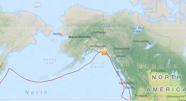
Image credit: Powered by Leaflet — Tiles Courtesy of MapQuest — Data © OpenStreetMap contributors, CC-BY-SA
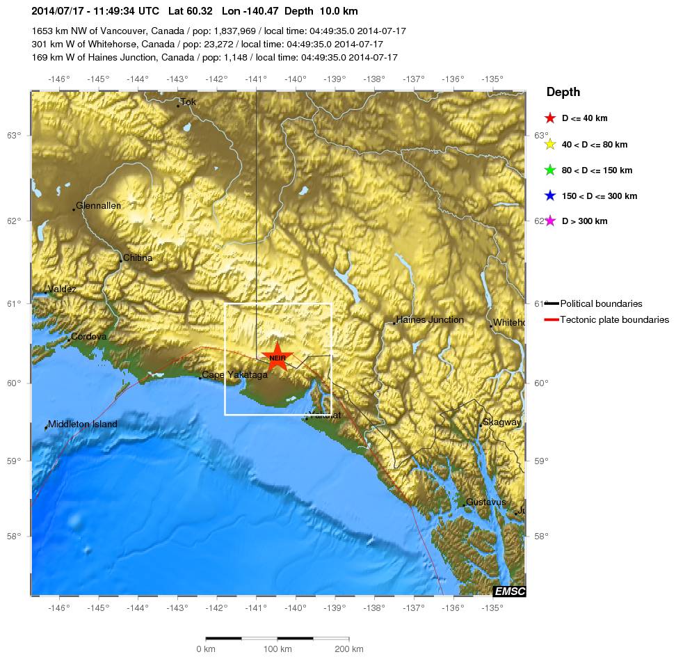
Strong M 6.0 earthquake was registered (USGS/EMSC/NTWC) at 11:49 UTC on July 17, 2014 in border region of Alaska and Southern Yukon Territory, Canada. The epicenter was located 95 km (59 miles) NNW of Yakutat, Alaska and 300 km (186 miles) W of Whitehorse, Canada at coordinates 60.217°N 140.550°W. The epicenter was registered at depth of 14.8 km (9.2 miles).
.jpg)
There is no populated area in the epicenter location. Yakutat is far outside the potential damage radius. Weak aftershocks continue to affect the area with strongest registered as M 3.9 at 13:09 UTC.
Commenting rules and guidelines
We value the thoughts and opinions of our readers and welcome healthy discussions on our website. In order to maintain a respectful and positive community, we ask that all commenters follow these rules.