
Major spring storm forecast over parts of Alberta and Saskatchewan, Canada
A major spring storm developing over Alberta will bring widespread damaging winds, rain, and localized snowfall across parts of Alberta and Saskatchewan beginning Wednesday night, May 13, 2026, Environment and Climate Change Canada (ECCC) warns.
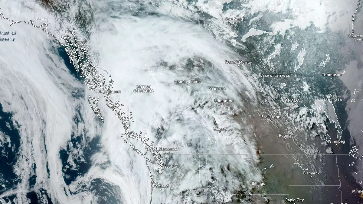
Satellite image centered over Alberta, Canada at 00:40 UTC on May 13, 2026. Credit: NOAA/GOES, Zoom Earth, The Watchers
Special weather statements remain in effect across parts of both provinces as an intensifying low-pressure system develops over Alberta before tracking eastward across Saskatchewan through Thursday and Friday.
In Alberta, ECCC forecasts southeast winds strengthening early Thursday, May 14, with gusts reaching 80 to 100 km/h (50 to 62 mph) across exposed parts of central and eastern Alberta before gradually weakening later in the day. The strongest gusts are expected across east-central and southeastern Alberta.
Across Saskatchewan, southerly winds gusting to 80 km/h (50 mph) will shift to widespread westerly winds sustained near 70 km/h (43 mph) with gusts reaching 110 km/h (68 mph) across southern and central parts of the province. The strongest winds are forecast during the day on Thursday before gradually easing Thursday evening, although strong winds are expected to continue through Friday.
ECCC warned that the winds could damage roofs, fences, tree branches, and temporary structures while creating hazardous driving conditions across exposed transportation corridors. High-sided vehicles could be overturned by strong crosswinds, while blowing dust may reduce visibility in drier parts of Saskatchewan.
Rain is forecast across portions of both provinces as the storm system intensifies over the Prairies. 20 to 40 mm (0.8 to 1.6 inches) of precipitation is possible across southwestern and west-central Saskatchewan by Friday night, while showers and thunderstorms may produce locally heavy rainfall across southeastern and east-central parts of the province.
In Alberta, rainfall totals of 10 to 20 mm (0.4 to 0.8 inches) are forecast in some regions by Friday morning. Wet snow may mix in across colder or higher-elevation areas as temperatures fluctuate behind the system, potentially creating slushy or snow-covered roads in localized corridors.
The storm may disrupt transportation, services, and utilities across parts of the Canadian Prairies if stronger wind gusts develop over populated areas.
References:
1 Special weather statement for Alberta and Saskatchewan – ECCC – May 12, 2026
I'm a dedicated researcher, journalist, and editor at The Watchers. With over 20 years of experience in the media industry, I specialize in hard science news, focusing on extreme weather, seismic and volcanic activity, space weather, and astronomy, including near-Earth objects and planetary defense strategies. You can reach me at teo /at/ watchers.news.
Commenting rules and guidelines
We value the thoughts and opinions of our readers and welcome healthy discussions on our website. In order to maintain a respectful and positive community, we ask that all commenters follow these rules.