
Rare sudden stratospheric warming forecast to develop over the Arctic in late November 2025
An arctic blast could be in forecast for the U.S. during December 2025, with a sudden stratospheric warming (SSW) being forecast to disrupt the polar vortex. This will result in a spill of arctic air across mid-latitudes and below average temperatures across the U.S.
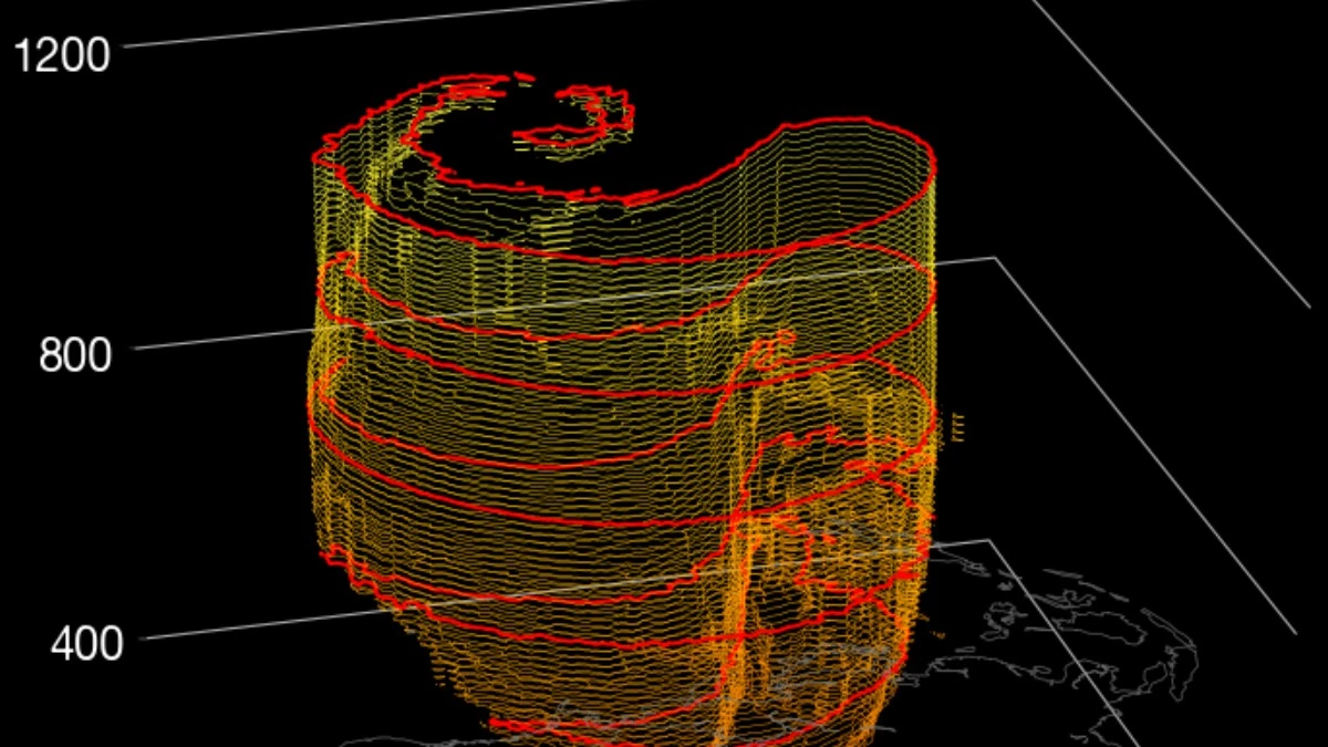
GFS stratospheric polar vortex structure valid November 30, 2025. Credit: Z.D. Lawrence Stratobserve
A sudden stratospheric warming (SSW) event is forecast to develop above the Arctic in late November 2025, raising the odds of below-average temperatures across much of the United States through December.
The phenomenon, a rapid warming and weakening of stratospheric winds about 20 km (12 miles) above the surface, disrupts the polar vortex, a large circulation of cold air that normally remains confined near the pole.
Forecast models show that the stratosphere may warm up by as much as 40°C (104°F) in the upper atmosphere, potentially weakening or even splitting the polar vortex. Based on historical data, such events are followed by cold-air outbreaks in the mid-latitudes.
While a sudden stratospheric warming (SSW) does not guarantee a prolonged or severe cold wave, early-season events of this kind have historically been followed by significant cold outbreaks in the eastern United States, while others have resulted in weaker or shorter-lived effects.

In records dating to the late 1950s, only twice before has a major SSW event happened as soon as November, in 1968 and 1958. And the last time one happened in December was in 1998. So, this could be the earliest such event in at least 27 years.
If the disturbance occurs as forecast, colder conditions could emerge gradually through December. Such stratospheric events often take several weeks to affect surface weather, meaning that the main effects would appear in early to mid-December.
For the western United States, including California, forecast uncertainty is higher. Past early-season warmings have sometimes coincided with drier, milder conditions in the West while the East turned colder.
While the term “polar vortex” has become widely used, not every cold spell is directly linked to stratospheric dynamics, and not every SSW produces strong surface impacts. Real-time monitoring of stratospheric temperatures and winds over the next two weeks will clarify how the developing event may impact regional weather.
Read more:

I am an Assistant Editor and Severe Weather & Science Journalist at The Watchers, specializing in real-time severe weather coverage, geophysical event reporting, and research-driven scientific analysis. You can reach me at rishav(at)watchers(.)news.
Commenting rules and guidelines
We value the thoughts and opinions of our readers and welcome healthy discussions on our website. In order to maintain a respectful and positive community, we ask that all commenters follow these rules.