
Tropical Cyclone “Iris” passing between Australia and New Caledonia
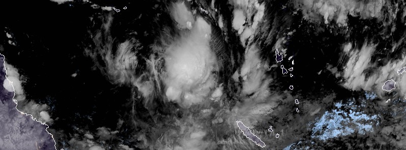
Featured image: Tropical Cyclone "Iris" at 12:40 UTC on March 26, 2018. Credit: JMA/Himawari-8
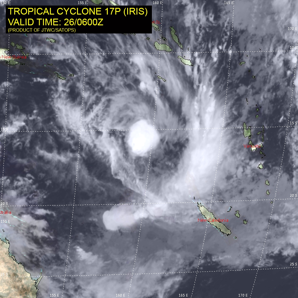
Tropical Cyclone "Iris" formed south of Solomon Islands on March 24, 2018 as the fourth named storm of the 2017/18 South Pacific ocean cyclone season. While this system is not expected to make landfall, orange alert for heavy rain and thunderstorms is in effect over the eastern coast of New Caledonia.
At 09:00 UTC on March 26, the center of Tropical Cyclone "Iris" was located approximately 980 km (610 miles) WNW of Noumea, New Caledonia and has tracked southward at 18 km/h (11 mph) over the past 6 hours. Its maximum sustained winds were 65 km/h (40 mph) with gusts to 85 km/h (50 mph).
The cyclone is expected to slowly strengthen over the next 24 hours. However, increasing vertical wind shear after that will mainly be responsible for its rapid decay and eventual dissipation by 09:00 UTC on March 28.
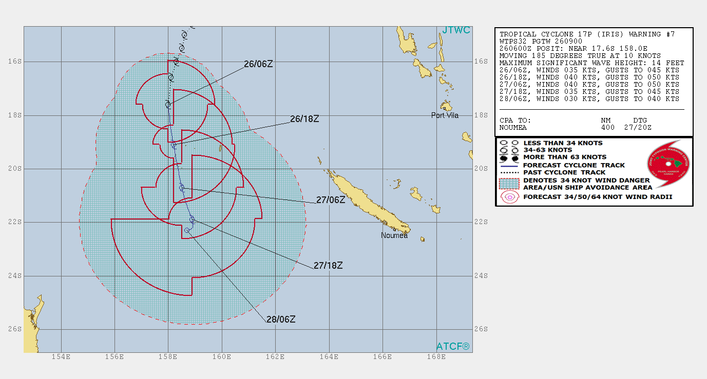
Iris is forecast to pass between the eastern coast of Australia and the western coast of New Caledonia over the next 24 hours, staying away from land.
Heavy rain, thunderstorms and strong winds may affect New Caledonia over March 25 – 31 as well as the eastern coast of Australia.
Meteo France New Caledonia has issued an orange alert for heavy rains and thunderstorms over the eastern coast of the country.
I'm a dedicated researcher, journalist, and editor at The Watchers. With over 20 years of experience in the media industry, I specialize in hard science news, focusing on extreme weather, seismic and volcanic activity, space weather, and astronomy, including near-Earth objects and planetary defense strategies. You can reach me at teo /at/ watchers.news.
Commenting rules and guidelines
We value the thoughts and opinions of our readers and welcome healthy discussions on our website. In order to maintain a respectful and positive community, we ask that all commenters follow these rules.