
6.4 magnitude earthquake hit near east coast of Honshu, Japan
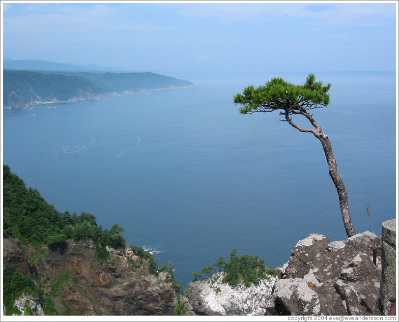
Image credit: East coast of Honshu at Rikuchu Kaigan National Park
6.4 magnitude earthquake hit near east coast of Honshu, Japan on June 17, 2012 at 20:32 UTC (5:32 JST, June 18) according to USGS. Epicenter was located 115 km (72 miles) SE (142°) from Morioka, Honshu, Japan (38.894°N, 141.946°E). Recorded depth by usgs was 31.8 km (19.8 miles). JST reported depth of 40 km and magnitude 6.1.
Earthquake poses no tsunami risk.
This earthquake is 80km from location of March 11, big earthquake in Japan. It is also 191 km (119 miles) from Fukushima nuclear plant.
| Magnitude | 6.4 |
|---|---|
| Date-Time |
|
| Location | 38.894°N, 141.946°E |
| Depth | 31.8 km (19.8 miles) |
| Region | NEAR THE EAST COAST OF HONSHU, JAPAN |
| Distances |
|
| Location Uncertainty | horizontal +/- 15.5 km (9.6 miles); depth +/- 7 km (4.3 miles) |
| Parameters | NST=556, Nph=560, Dmin=361.8 km, Rmss=0.94 sec, Gp= 65°, M-type=regional moment magnitude (Mw), Version=9 |
| Source |
|
| Event ID | usb000ahy0 |

Shake map

Population exposure


Selected Cities Exposed from GeoNames Database of Cities with 1,000 or more residents
| MMI | City | Population |
|---|---|---|
| V | Ofunato | 35k |
| V | Kamaishi | 43k |
| IV | Otsuchi | 17k |
| IV | Tono | 27k |
| IV | Yamada | 20k |
| IV | Ichinoseki | 63k |
| IV | Morioka | 295k |
| IV | Sendai | 1,038k |
| IV | Yamagata | 255k |
| III | Fukushima | 294k |
| III | Akita | 0 |
I'm a dedicated researcher, journalist, and editor at The Watchers. With over 20 years of experience in the media industry, I specialize in hard science news, focusing on extreme weather, seismic and volcanic activity, space weather, and astronomy, including near-Earth objects and planetary defense strategies. You can reach me at teo /at/ watchers.news.
Checkout online: Biosphere Collapse – Peak Oil.