• Extreme Heat Watches issued for California and Arizona as anomalous heat intensifies across parts of the Southwest

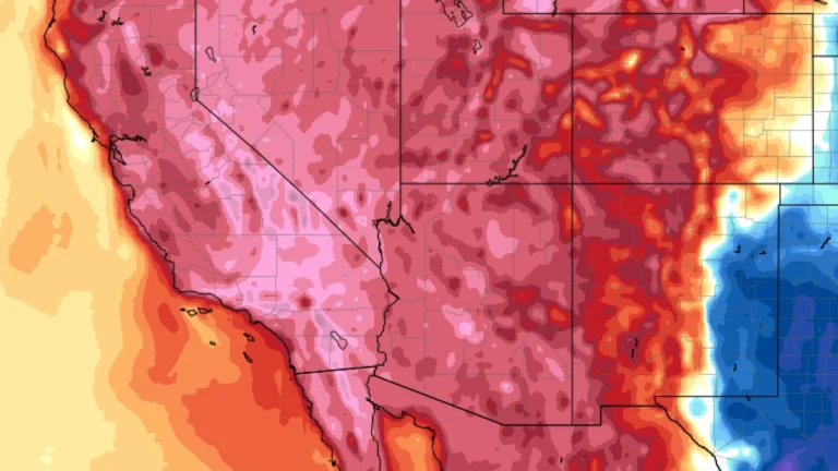
    Extreme Heat Watches have been issued for parts of California and Arizona as an anomalous and unusually prolonged heat event intensifies across the Southwest United States. Watches begin Monday, March 16, 2026, in parts of Southern California, then expand into parts of Arizona and southeast California later in the week, with some desert areas forecast to reach up to 43°C (109°F) and temperatures in some locations rising 11–17°C (20–30°F) above normal for mid-March.
  • Backcountry Avalanche Watch in effect for Greater Lake Tahoe area along California–Nevada border

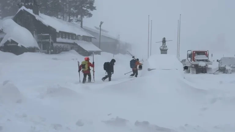
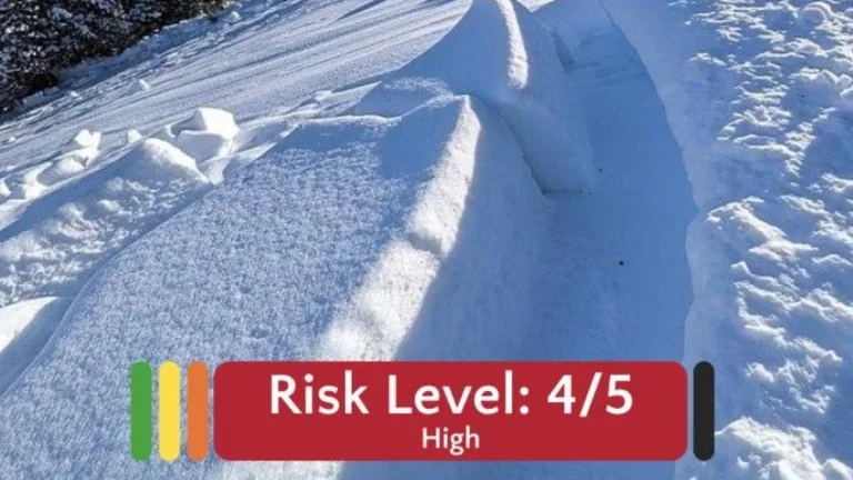
    A Backcountry Avalanche Watch is in effect for the Greater Lake Tahoe area due to high avalanche danger associated with a rain-on-snow event. The National Weather Service Reno and the Sierra Avalanche Center warn that widespread avalanche activity is possible, including large avalanches capable of burying or injuring people. Travel in avalanche terrain is not recommended during the watch period.

  • Coastal storm and long-duration atmospheric river to bring heavy precipitation to Pacific Northwest and California

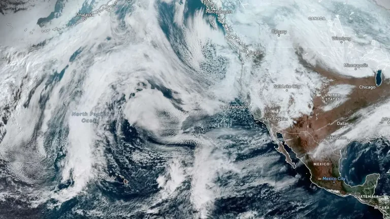
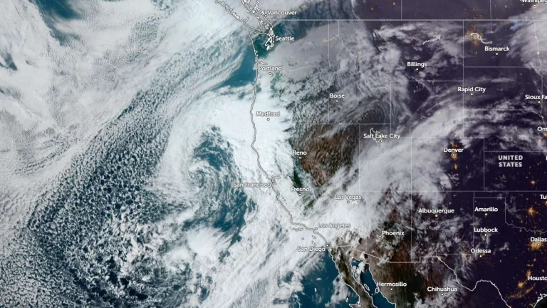
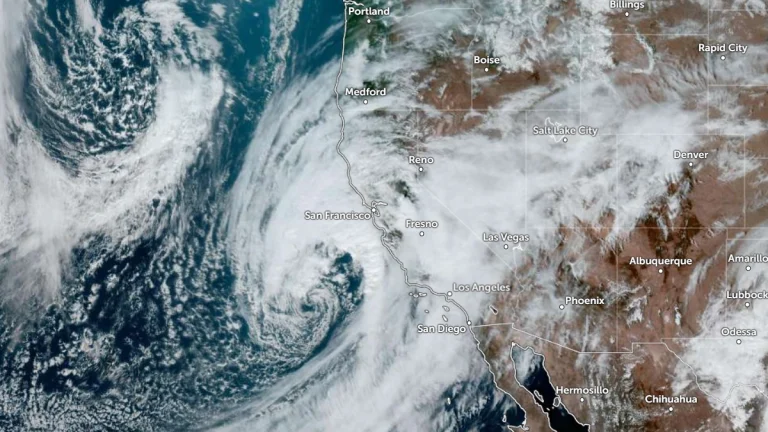
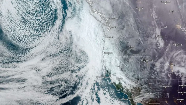
    A slow-moving low-pressure system is forecast to bring long-duration atmospheric river conditions to the U.S. West Coast between Saturday, February 21, and Wednesday, February 25, 2026, delivering heavy precipitation from Washington to California. The strongest impacts are expected across southern Oregon and northern California Coast Ranges and the Klamath Mountains, where 5-10 inches (125-250 mm) of rain is forecast.

  • Atmospheric river forecast to bring another round of heavy precipitation to California

    Atmospheric river associated with a slow-moving low-pressure system is forecast to impact California between February 21 and 26, 2026, bringing another round of heavy precipitation to the state. The Center for Western Weather and Water Extremes (CW3E) indicates very high confidence (>90%) in atmospheric river conditions along northern California through February 23, with moderate-to-high confidence of the AR conditions shifting south along the coast by February 24.

  • Extreme winter storm impacts expected in Sierra Nevada as Pacific storms bring up to 2.4 m (8 feet) of snow through February 18

    Multiple storms are forecast to bring heavy snowfall to California through February 18, 2026, with snowfall rates exceeding 76 mm (3 inches) per hour in parts of the Sierra Nevada. Extreme impacts are possible across higher elevations, with travel conditions dangerous to impossible, and 1.2–2.4 m (4–8 feet) of snow forecast above pass level.

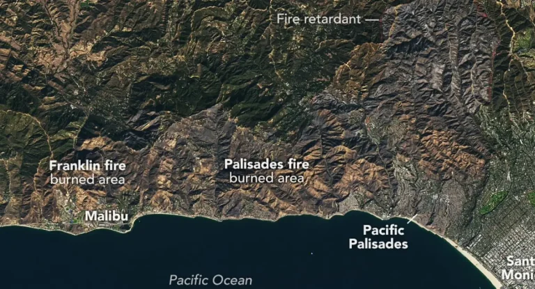
  • Evacuation Warnings issued for Palisades and Eaton burn scars ahead of high-impact winter storm in California

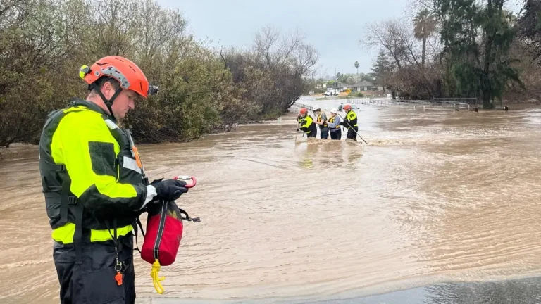
    Evacuation Warnings were issued for residents living near the Palisades and Eaton burn scar areas in Los Angeles County, California, effective from 21:00 LT (05:00 UTC) on Sunday, February 15, through 09:00 LT (17:00 UTC) on Tuesday, February 17, 2026, ahead of a winter storm forecast to bring heavy rainfall. Officials warned that debris flows and mudflows could damage property and pose life-threatening risks in recently burned areas. Winter storm warnings were also issued across parts of California and Nevada for heavy mountain snowfall and strong winds.

  • Cross-country storm to bring heavy rain to the South and snow to the West and Great Lakes

    An atmospheric river affecting California on February 11, 2026, is forecast to evolve into a cross-country storm moving across the southern U.S. through February 13–14, 2026. Widespread rainfall totals of 25 to 75 mm (1–3 inches), with locally higher amounts, are possible across Texas to Georgia. Heavy snow is ongoing in the Sierra Nevada, with additional accumulations expected in the Wasatch and central Rockies.