Heavy mountain snow and strong winds forecast across Sierra Nevada, California
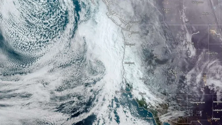
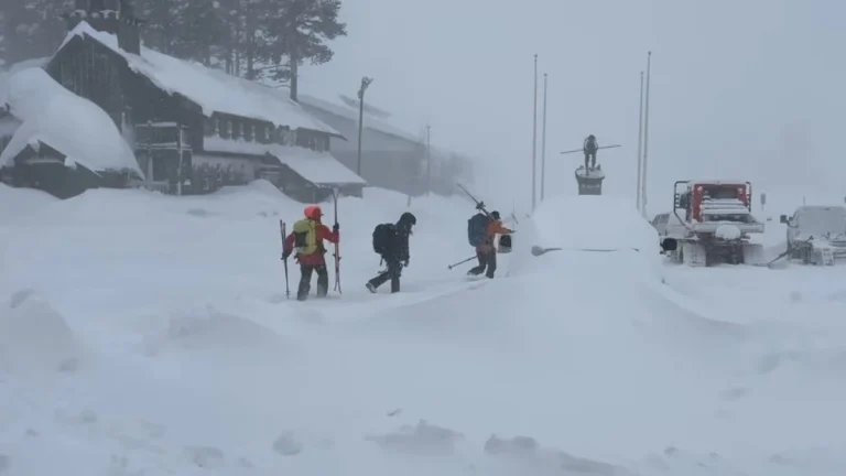
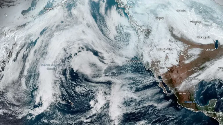
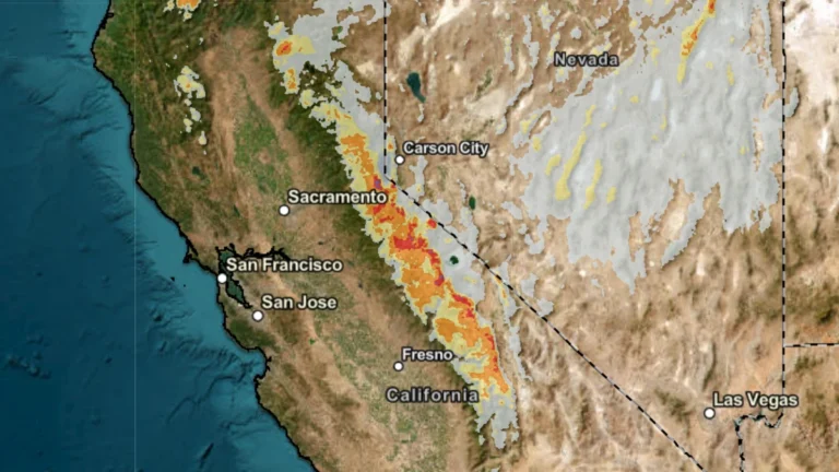
Heavy snow and strong winds are forecast to impact the Sierra Nevada, California, from April 21 to April 22, 2026, as a Pacific storm system moves inland, bringing significant snowfall to elevations above 2 100 m (7 000 feet). Authorities warn that travel through major mountain passes could become very difficult to impossible due to snow-covered roads and reduced visibility.