
NWS warns of excessive rainfall in California
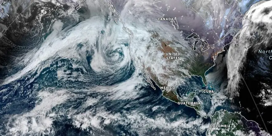
Image credit: JMA/NOAA, Zoom Earth, The Watchers. Acquired at 19:00 UTC on December 19, 2023
The National Weather Service warns of a Moderate Risk of excessive rainfall in Southern California, with potential flash flooding and mudflows, as a series of storms approach the state.
California is preparing for a series of storms expected to bring significant rainfall to central and southern regions. The National Weather Service (NWS) has issued a warning for a Moderate Risk of excessive rainfall in Southern California on Wednesday and Thursday, December 20 and 21, 2023.
An upper-level low off the California coast is forecast to move southward over the Pacific, eventually making its way inland over northwestern Mexico by Saturday, December 23. This system will bring moisture into California, resulting in rain and some snow over the Sierra Nevada Mountains.
The Weather Prediction Center (WPC) has issued a Moderate Risk of excessive rainfall for parts of Southern California through Thursday morning. This heavy rain is likely to cause flash flooding, particularly in narrow canyons, gullies, and areas with burn scars from wildfires. In addition, many streams may overflow, potentially impacting larger rivers.
The threat continues into Thursday, with moisture streaming into Southern California. The WPC has extended the Moderate Risk warning for excessive rainfall through Friday morning, December 22. This second phase of the storm is expected to affect similar areas, with a heightened risk of flash flooding and impacts on larger river systems.
While the rainfall in Northern California is anticipated to subside by Thursday, isolated thunderstorms are forecast for southern California and across much of the Southwest on Friday.
An upper low off the southern California coast early Friday will evolve into a more progressive open wave, moving eastward across the Southwest States and northern Mexico, NWS forecaster Mosier noted. This system brings strong ascent forces, cold mid-level temperatures, and increased mid-level moisture, fostering conditions ripe for thunderstorms in Southern California and the Southwest.
Thunderstorms are expected to shift eastward, concluding with isolated storms over southeast New Mexico and far west Texas by Saturday morning.
Small hail may occur due to the cold mid-level temperatures and enhanced mid-level flow. However, any hail is expected to be small and sporadic.
Additionally, low-level flow will intensify from south Texas into the Panhandle ahead of this system, potentially interacting with sufficient low-level moisture to support isolated elevated thunderstorms near the Middle Texas Coast.
References:
1 Short Range Forecast Discussion NWS Weather Prediction Center College Park MD 246 AM EST Wed Dec 20 2023
2 Day 3 Convective Outlook – NWS Storm Prediction Center Norman OK – 0228 AM CST Wed Dec 20 2023
I'm a dedicated researcher, journalist, and editor at The Watchers. With over 20 years of experience in the media industry, I specialize in hard science news, focusing on extreme weather, seismic and volcanic activity, space weather, and astronomy, including near-Earth objects and planetary defense strategies. You can reach me at teo /at/ watchers.news.
Commenting rules and guidelines
We value the thoughts and opinions of our readers and welcome healthy discussions on our website. In order to maintain a respectful and positive community, we ask that all commenters follow these rules.