
Giant hail up to 11.4 cm (4.5 inches) and damaging winds hit Texas
Severe thunderstorms produced giant hail up to 11.4 cm (4.5 inches), damaging winds, power outages, and road blockages across parts of Texas on May 10 and 11, 2026, after the Storm Prediction Center (SPC) placed parts of west-central and north-central Texas under an Enhanced Risk. SPC storm reports included baseball-size hail in several counties, wind damage near Hamilton, more than 18 000 power outages in the Austin area, and gusts up to 135 km/h (84 mph) near Corpus Christi NAS.
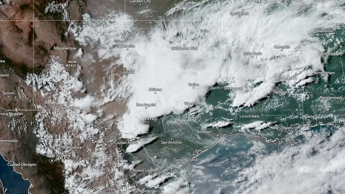
Severe storms over Texas at 22:50 UTC on May 10, 2026. Credit: NOAA/GOES, Zoom Earth, The Watchers
The outbreak developed as a southward-moving cold front interacted with warm, unstable air and favorable wind shear across Texas. SPC warned that some storms could produce hail larger than 5 cm (2 inches) and wind gusts above 113 km/h (70 mph), with an environment supportive of semi-discrete supercells before storms grew into larger southeast-moving convective clusters.
The Enhanced Risk area covered approximately 79 900 km2 (30 845 mi2) and included an estimated 7.08 million people, including the Dallas–Fort Worth metropolitan area.
The largest hail report received by SPC was 11.4 cm (4.5 inches) at 23:20 UTC on May 10, about 14 km (9 miles) WSW of Cranfills Gap in Hamilton County, where a media chaser measured hail just east of the Highway 22 and CR 224 intersection.
An 8.3 cm (3.25 inches) hailstone was found at Hatchel in Runnels County at 22:20 UTC, and a 7 cm (2.75 inches) hailstone was found near Blackwell in Nolan County at 21:14 UTC.
A concentrated giant-hail corridor developed from Mitchell and Nolan counties into Erath, Comanche, Hamilton, Runnels, Coleman, Coryell, and San Saba counties.
SPC received reports of 7 cm (2.75 inches) hail 6 km (4 miles) north of Hamilton, baseball-size hail in Dublin and east-southeast of Hamilton, tennis-ball-size hail near Dublin, South Mountain, Fort Gates, and Rockwood, and hail near 5 cm (2 inches) at Westbrook, Lake Alan Henry, Rockwood, and near Cranfills Gap.
A landspout/gustnado was seen near Highway 208 and County Road 337 southeast of Colorado City in Mitchell County around 20:11–20:29 UTC, based on storm-chaser social-media reports relayed through NWS Midland.
Near Hamilton, Hamilton VFD reported damaged trees and power lines on the west side of town, leading to at least four full road blockages and broken power poles on Coke Street.
In Runnels County, a 121 km/h (75 mph) gust was reported about 3 km (2 miles) north of Ballinger. A 108 km/h (67 mph) wind gust was measured near Doole, Concho County, and near Brady, McCulloch County, 103 km/h (64 mph) at Georgetown Municipal Airport, and 121 km/h (75 mph) at South Texas Regional Airport at Hondo.
The storm complex later produced broader wind damage across central and south Texas. In the Austin metro area, power lines were reported down, leaving more than 18 000 customers without power around 03:00 UTC on May 11.
Reports from Travis County included downed trees and snapped limbs in North Austin, South Austin, Pflugerville, Steiner Ranch, and near Austin-Bergstrom International Airport.
Farther south, SPC received reports of power-pole damage and numerous trees down in Beeville, Bee County. Along the Coastal Bend, gusts reached 135 km/h (84 mph) at Corpus Christi NAS at 06:56 and 07:07 UTC, with apartment-building siding damage reported nearby.
Additional marine and coastal gusts included 114 km/h (71 mph) at Packery Channel and 100 km/h (62 mph) near Port Aransas.
References:
1 SPC Storm Reports – NWS/SPC – May 10, 2026
I'm a dedicated researcher, journalist, and editor at The Watchers. With over 20 years of experience in the media industry, I specialize in hard science news, focusing on extreme weather, seismic and volcanic activity, space weather, and astronomy, including near-Earth objects and planetary defense strategies. You can reach me at teo /at/ watchers.news.
Commenting rules and guidelines
We value the thoughts and opinions of our readers and welcome healthy discussions on our website. In order to maintain a respectful and positive community, we ask that all commenters follow these rules.