
Extreme Heat Watches issued for Utah, Montana, and northern Wyoming, temperatures up to 43°C (110°F) forecast through July 27
Extreme Heat Watches have been issued for large portions of Utah, Montana, and north-central Wyoming as widespread dangerous heat is forecast from Friday, July 24, 2026 through Sunday, July 26, with some areas remaining under hazardous conditions into early next week. Afternoon temperatures are forecast to reach 35 to 43°C (95 to 110°F), while unusually warm nights across northern Utah are expected to limit overnight cooling and increase cumulative heat stress.
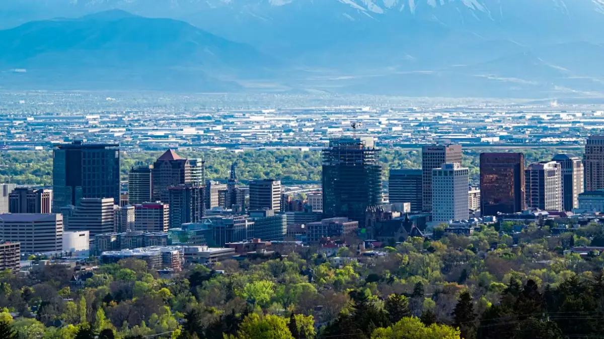
Salt Lake City, Utah. Credit: Brent Pace
A widespread period of dangerous heat is forecast to develop across parts of Utah, Montana, and northern Wyoming beginning Friday, July 24, and continuing through Sunday, July 26, into early next week for some areas.
Afternoon temperatures are forecast to range from 35 to 43°C (mid-90s to 110°F). In northern Utah, overnight temperatures are also expected to remain exceptionally warm, providing little relief from the daytime heating.
The watches issued by the NWS offices in Salt Lake City, Glasgow, Billings, and Great Falls cover large portions of the Wasatch Front, Cache Valley, northeast and central Montana, and parts of north-central Wyoming. Forecasters note that confidence is increasing in widespread dangerous heat over the weekend, with the most intense conditions expected Friday and Saturday across much of Montana.
Utah
Wasatch Front, Utah (NWS Salt Lake City)
The National Weather Service in Salt Lake City has maintained an Extreme Heat Watch from Saturday afternoon through Monday evening for the Wasatch Front, including the Salt Lake Valley, Utah Valley, Northern Wasatch Front, and eastern Box Elder County.
Communities under the watch include Salt Lake City, Ogden, Provo, Lehi, Sandy, West Jordan, Bountiful, Brigham City, Payson, and Snowville.
Afternoon temperatures are forecast to reach 39°C (102°F), creating dangerous conditions capable of significantly increasing the risk of heat-related illnesses during prolonged outdoor exposure.
Cache Valley, Utah (NWS Salt Lake City)
A separate Extreme Heat Watch is in effect from Saturday afternoon through Monday evening for the Utah portion of Cache Valley, including Logan and Smithfield.
Daytime temperatures are forecast to range from 36 to 38°C (97 to 101°F), while overnight temperatures are unlikely to fall below 21°C (70°F), limiting overnight cooling and increasing cumulative heat stress over several consecutive days.
The NWS notes that confidence is increasing for HeatRisk to reach Major levels through the weekend and into early next week, with the combination of persistent daytime heat and warm nights expected to drive sustained impacts.
Montana
Northeast Montana (NWS Glasgow)
The National Weather Service in Glasgow has maintained an Extreme Heat Watch from Friday morning through Sunday evening for most of northeast Montana.
The watch encompasses central and southeast Phillips County, central and southern Valley County, western and eastern Roosevelt County, Petroleum, Garfield, McCone, Richland, Dawson, Prairie, Wibaux, northern Phillips County, southwest Phillips County, and northern Valley County.
Communities included under the watch are Glasgow, Sidney, Malta, Wolf Point, Poplar, Glendive, Circle, Terry, Jordan, Wibaux, Fairview, Hinsdale, Culbertson, Opheim, Fort Peck, Frazer, Whitewater, Richey, Saco, Winnett, and Zortman.
Afternoon temperatures are forecast to reach 42°C (108°F), with dangerous heat expected to significantly increase the risk of heat-related illnesses.
Central, south-central and southeast Montana (NWS Billings)
An Extreme Heat Watch will remain in effect from Friday morning through Sunday evening for portions of central, south-central, and southeast Montana, as well as parts of north-central Wyoming.
The watch area includes Billings, Miles City, Red Lodge, Hardin, Roundup, Baker, Colstrip, Crow Agency, Big Timber, Broadus, Forsyth, Columbus, Harlowton, Judith Gap, Pryor, Bridger, Absarokee, Lodge Grass, and Lame Deer, along with numerous surrounding communities.
Temperatures are forecast to range from 35 to 43°C (95 to 110°F), with prolonged extreme heat expected to substantially increase the likelihood of heat-related illnesses throughout the affected region.
North-central Montana and Central Montana (NWS Great Falls)
The National Weather Service in Great Falls has issued an Extreme Heat Watch from Friday morning through Sunday evening for Cascade County below 1 524 m (5 000 feet), Judith Basin County and Judith Gap, and western and central Chouteau County.
The watch includes Great Falls, Fort Benton, Stanford, Hobson, Geyser, Windham, Carter, Benchland, Raynesford, Floweree, and Moccasin.
Afternoon temperatures are forecast to reach 35 to 41°C (95 to 105°F), with forecasters indicating that the most intense heat is expected on Friday and Saturday.
Another Extreme Heat Watch from Friday morning through Sunday evening for portions of central, south-central, and southeast Montana, as well as parts of north-central Wyoming.
The Montana portion of the watch includes Billings, Miles City, Red Lodge, Hardin, Roundup, Baker, Colstrip, Crow Agency, Big Timber, Broadus, Forsyth, Columbus, Harlowton, Judith Gap, Pryor, Bridger, Absarokee, Lodge Grass, and Lame Deer, along with numerous surrounding communities.
Temperatures are forecast to range from 35 to 43°C (95 to 110°F), with prolonged extreme heat expected to substantially increase the likelihood of heat-related illnesses throughout the affected region.
Wyoming
North-central Wyoming (NWS Billings)
An Extreme Heat Watch will be in effect from Friday morning through Sunday evening for Sheridan and surrounding communities in north-central Wyoming.
Forecast temperatures are expected to range from 35 to 43°C (95 to 110°F), with prolonged extreme heat expected to substantially increase the likelihood of heat-related illnesses throughout the affected region.
References:
1 Extreme Heat Watch – NWS – July 23, 2026

I am an Assistant Editor and Severe Weather & Science Journalist at The Watchers, specializing in real-time severe weather coverage, geophysical event reporting, and research-driven scientific analysis. You can reach me at rishav(at)watchers(.)news.

Commenting rules and guidelines
We value the thoughts and opinions of our readers and welcome healthy discussions on our website. In order to maintain a respectful and positive community, we ask that all commenters follow these rules.