
Alberta clipper reinforces lake-effect snow as heavy rain targets southern California into the New Year
A surge of Arctic air, reinforced lake-effect snowfall, and an atmospheric river are forecast to affect large portions of the United States from December 31, 2025, into January 2, 2026. Heavy snow is expected downwind of the Great Lakes and across parts of the Northeast, while southern California faces a flash flood risk as an atmospheric river moves onshore around New Year’s Day.
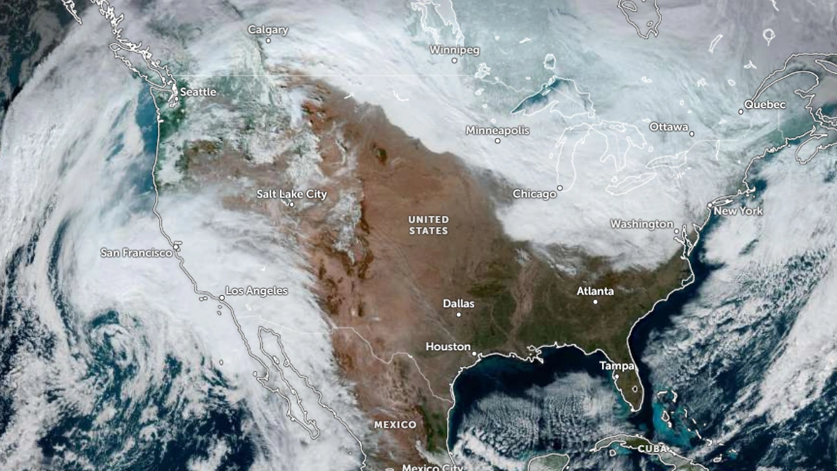
Satellite image of the United States at 18:50 UTC on December 31, 2025. Credit: NOAA/GOES-19, Zoom Earth, The Watchers
Arctic air spreading behind a departing intense cyclone is forecast to dominate much of the eastern two-thirds of the United States through the start of the new year.
The cold air mass will continue to bring and intensify lake-effect snowfall downwind of the Great Lakes as an Alberta clipper tracks southeastward from December 31 into January 1.
The heaviest snowfall is forecast east of Lakes Erie and Ontario, with accumulations reaching 30–60 cm (12–-24 inches). Locally, higher totals of over 90 cm (35 inches) will be possible in some areas through January 2.
As the clipper advances, a reinforcing arctic cold front is forecast to create snow showers and snow squalls from the Ohio Valley into Pennsylvania and western New York from late December 31 into the early hours of January 1. Light to moderate snowfall is also expected across parts of the upper Midwest, the northern Plains, and interior New England.
The system is forecast to intensify while crossing New England on January 1, bringing heavy snowfall across the region.
The heaviest snow is forecast across northern and eastern Maine, with totals of over 20 cm (8 inches) forecast between January 1 and January 2.

For the southern U.S., freezing temperatures will reach as far south as north-central Florida before a gradual warming trend begins.
Meanwhile, for the western half of the country, a stable ridge of high pressure will maintain dry and relatively mild conditions across much of the Intermountain West. The warmer-than-normal air mass over the northern Plains will shift southward into the central Plains as the Alberta Clipper reinforces Arctic air to the north.
An atmospheric river (AR) will move northward, spreading rain into southern California through December 31 and expanding north across the state and into the Desert Southwest by January 1.
Heavy rainfall is forecast across the Los Angeles region early on New Year’s Day, as the AR brings the risk of flash flooding and debris flows in burn-scarred and steep terrain. The system’s core is forecast to make landfall during the day on January 1, weakening as it moves inland and gradually reducing rainfall intensity across California later that day.
Moisture associated with the system is expected to persist into January 2, sustaining mountain snow and valley rain across parts of the Intermountain West and Rockies.
Read more:
References:
1 Short Range Forecast Discussion – NWS – December 31, 2025

I am an Assistant Editor and Severe Weather & Science Journalist at The Watchers, specializing in real-time severe weather coverage, geophysical event reporting, and research-driven scientific analysis. You can reach me at rishav(at)watchers(.)news.
Commenting rules and guidelines
We value the thoughts and opinions of our readers and welcome healthy discussions on our website. In order to maintain a respectful and positive community, we ask that all commenters follow these rules.