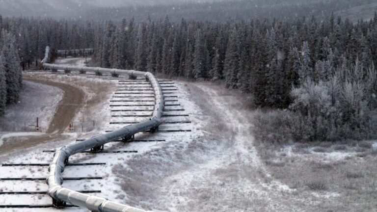
• In 2002 a magnitude 7.9 quake on the Denali Fault shoved the ground about 14 feet sideways under the Trans-Alaska Pipeline, but engineers had designed Teflon sliders for the pipe nearly 30 years earlier, and no oil spilled.

    On November 3, 2002, the M7.9 Denali Fault earthquake ruptured about 340 km (211 miles) of central Alaska and displaced the ground beneath the Trans-Alaska Pipeline by roughly 4.3–5.8 m (14–19 feet), depending on how the distributed rupture is measured. The pipe slid across low-friction supports and flexed through its zigzag alignment; it did not rupture and no oil escaped.
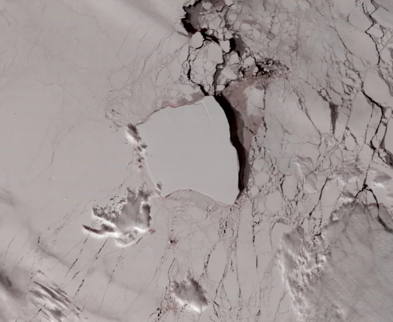
  • The largest iceberg on Earth, more than twice the size of Greater London, broke off Antarctica in 1986 and sat stuck to the seabed for over 30 years, and when it finally floated free, it got caught above an undersea mountain and spent months spinning slowly on the spot

    Iceberg A23a, the world’s largest freely floating iceberg through much of 2025, spent about 34 years pinned to the Weddell Sea floor, completed roughly 15 rotations above an undersea mountain in 2024, grounded again near South Georgia and finally collapsed in March 2026—months short of its 40th anniversary.

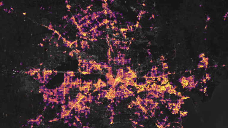
  • In February 2021 a winter storm froze gas wellheads and wind turbines across Texas, and the state grid came within 4 minutes and 37 seconds of a collapse that officials said could have left most of Texas dark for weeks if not more.

    Texas’ main power grid spent 4 minutes 23 seconds below a 59.4 Hz protection threshold early on February 15, 2021, leaving 4 minutes 37 seconds before relays on approximately 17 GW of generation could begin tripping. Federal investigators said the resulting losses could have caused a total blackout across the ERCOT region; operators stopped the cascade by disconnecting thousands of megawatts of customer demand.

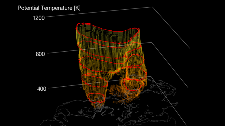
  • Polar vortex winds at 60°N drop from 22.13 to 5.44 m/s in eight days in rare November disruption; major SSW remains forecast

    A rare November disruption of the Northern Hemisphere stratospheric polar vortex is underway, with the daily-mean wind at 60°N and 10 hPa weakening from 22.13 m/s (49.5 mph) on October 25 to 5.44 m/s (12.2 mph) on November 2. Forecast guidance continues to indicate a possible brief reversal during the second week of November, which would meet the defining wind-reversal threshold used to identify a major sudden stratospheric warming, while any surface-weather response remains uncertain.

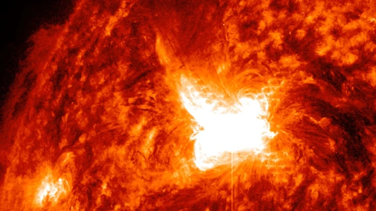
  • 1972 Haiphong: Navy aircrews saw sea mines explode as a solar storm rattled magnetic sensors

    ne of the fastest solar eruptions ever recorded reached Earth in about 14.6 hours on August 4, 1972. A 2018 analysis indicates that the resulting magnetic disturbance probably triggered sensitive US Navy sea mines off North Vietnam, where an aircrew witnessed 20 to 25 explosions in roughly 30 seconds. Declassified navy documents support this claim with naval investigators concluding that there was “a high degree of probability” solar activity triggering sensitive sea mines off North Vietnam on August 4, 1972.

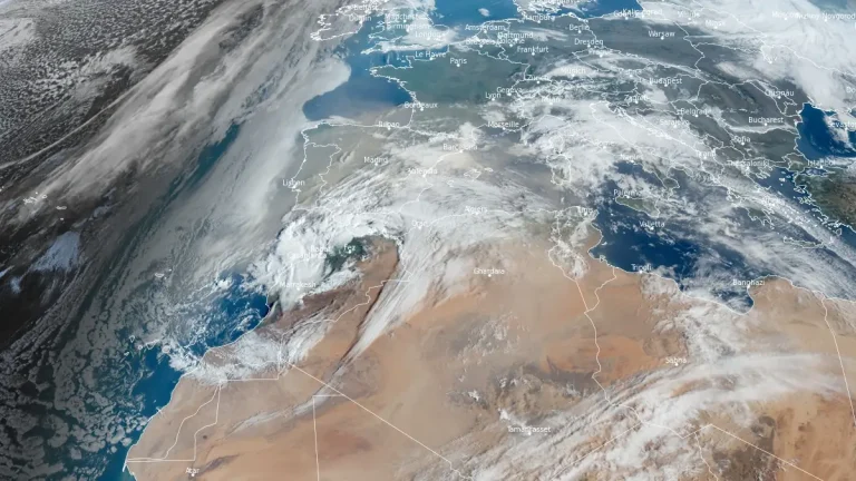
  • Satellite estimates put African dust falling on the Amazon at about 28 million tonnes a year, while a model checked against measurements at Cayenne gives 8 to 10 million, and most of that settling happens from February to May.

    An estimated 8 to 10 million tonnes of African dust settle over the Amazon basin each year, carrying phosphorus to nutrient-poor forest soils, according to atmospheric models checked against air measurements in South America. A 2015 satellite study put annual dustfall at about 28 million tonnes, although its uncertainty range included the lower estimates

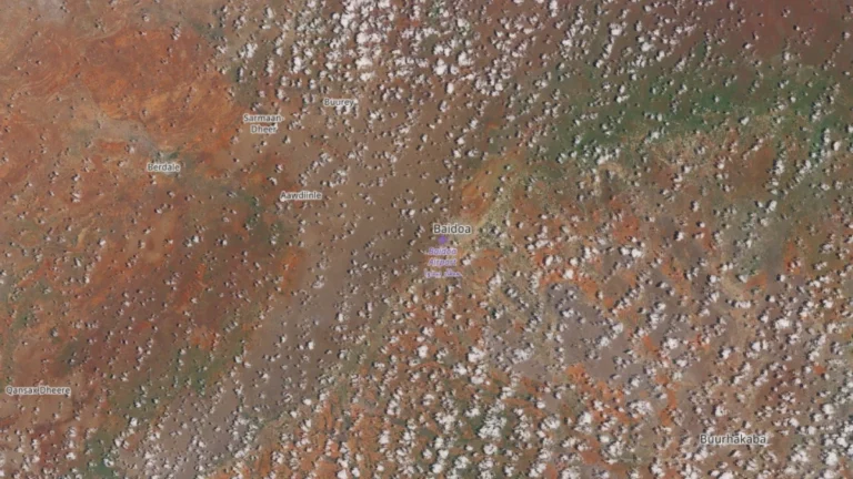
  • IPC projects nearly 26 000 displaced people in Baidoa to face catastrophic hunger as 5.4 million Somalis face crisis-level food insecurity

    Nearly 26 000 internally displaced people in Baidoa are likely to face Catastrophe-level acute food insecurity (IPC Phase 5) during October–December 2026, according to an IPC assessment released on September 23. The projection is separate from a conditional Risk of Famine under a plausible worst-case scenario involving more severe flooding and displacement, higher food prices, low wages and insufficient humanitarian assistance.

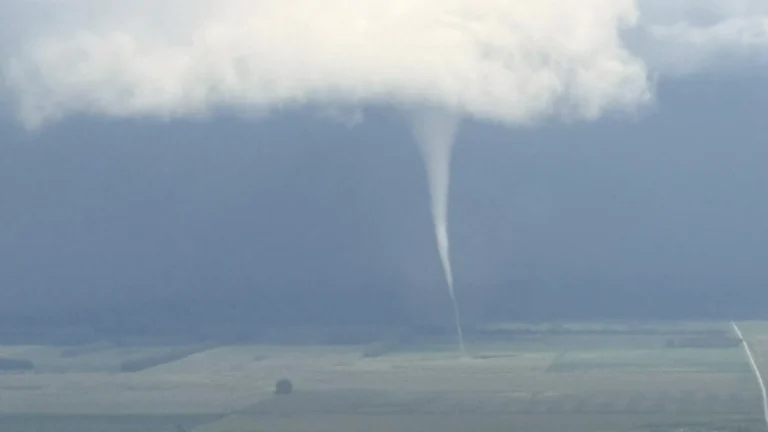
  • NWS confirms EF0 tornado near Spring Grove, Virginia, with 115 km/h winds and a 4.3 km path, no injuries reported

    An EF0 tornado tracked approximately 4.3 km (2.7 miles) across part of Surry County, Virginia, from 16:41 to 16:46 EDT (20:41–20:46 UTC) on September 12, 2026, with estimated peak winds of 115 km/h (70 mph). National Weather Service (NWS) survey teams found tornado-related tree damage along VA-10 near Spring Grove.