
M6.2 earthquake hits Vanuatu
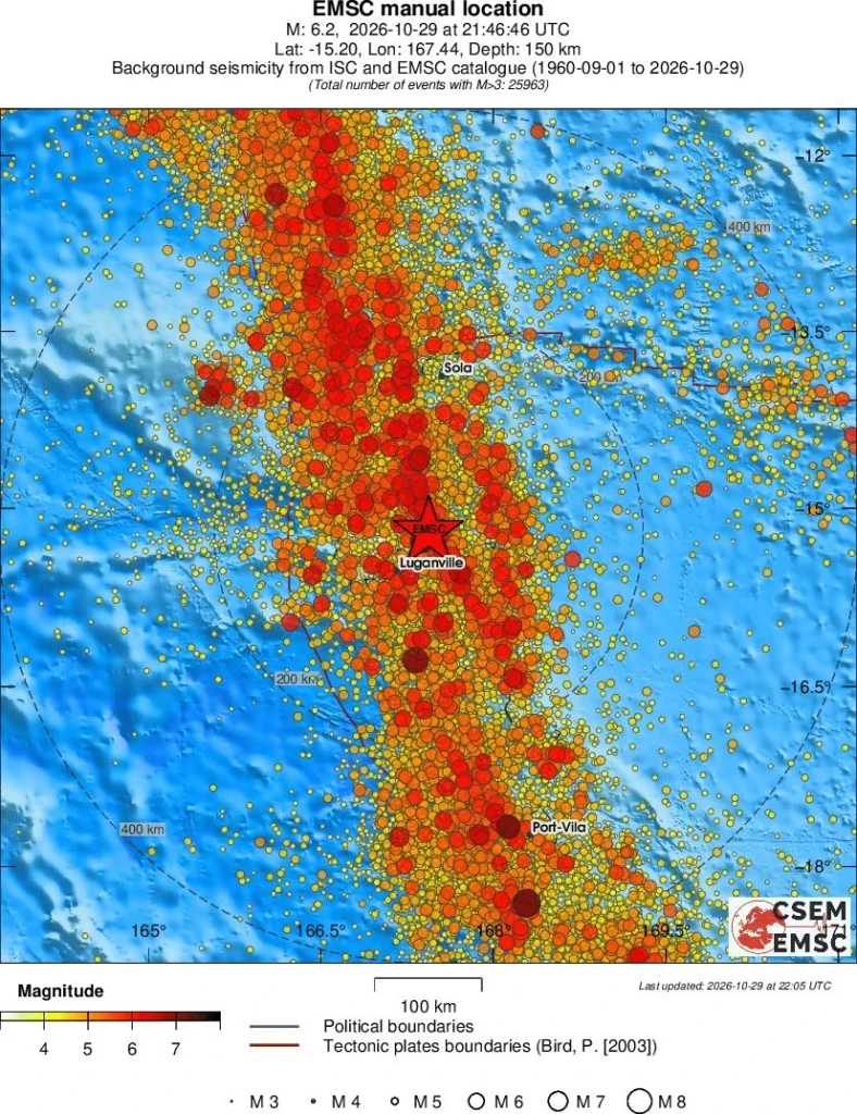
A deep M6.2 earthquake registered by the USGS struck 43 km ESE of Port-Olry, Vanuatu, at 21:46 UTC on October 29, 2026. The agency is reporting a depth of 143 km (89 miles). EMSC is reporting the same depth and magnitude.
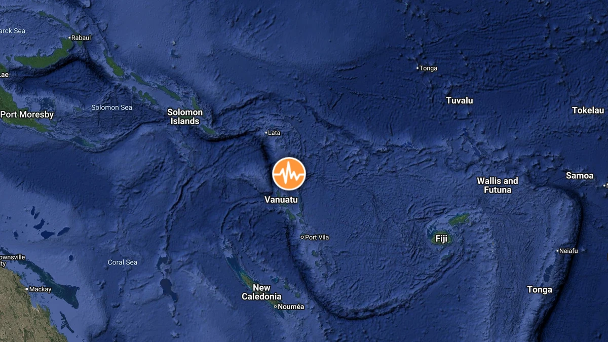
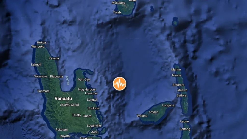
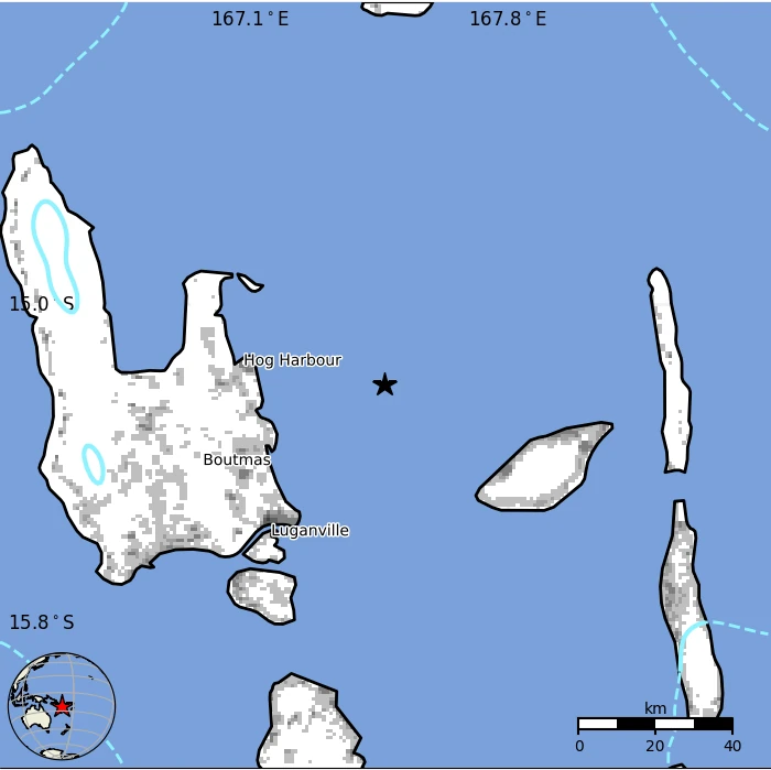
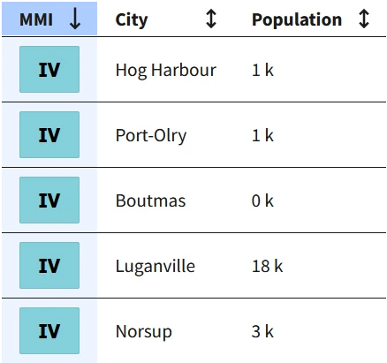
The epicenter was located 44 km (27 miles) ESE of Port-Olry (population 1 951), 48 km (30 miles) NE of Luganville (population 13 397), 298 km (185 miles) NNW of Port-Vila (population 35 901), 637 km (396 miles) N of Wé (population 10 375), and 781 km (485 miles) N of Païta (population 12 617).
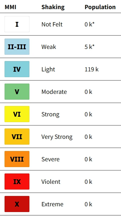
5 000 people are estimated to have felt weak shaking and 119 000 light shaking. There is no tsunami threat from this earthquake.
The USGS issued a Green alert for shaking-related fatalities and economic losses. There is a low likelihood of casualties and damage.
Overall, the population in this region resides in structures that are highly vulnerable to earthquake shaking, though some resistant structures exist. The predominant vulnerable building types are unknown/miscellaneous types and wood construction. Recent earthquakes in this area have caused secondary hazards such as landslides that might have contributed to losses.
Estimated population exposure to earthquake shaking
Selected cities exposed
Regional seismicity
References:
1 M6.2 earthquake Vanuatu – USGS – October 29, 2026
2 M6.2 earthquake Vanuatu – EMSC – October 29, 2026

Rishav Kothari is Editor-in-Chief of The Watchers, where he runs the newsroom and covers earthquakes, volcanoes, severe weather and space weather.
