
Deep M6.4 earthquake hits Fiji region
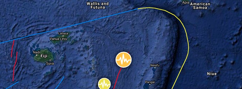
Image credit: TW/SAM, Google
A deep earthquake registered by the USGS as M6.4 hit the Fiji region at 00:23 UTC on April 24, 2021. The agency is reporting a depth of 290 km (180 miles). EMSC is reporting M6.4 at a depth of 273 km (169 miles).
The epicenter was located about 220 km (137 miles) WNW of Pangai, Tonga, and 540 km (336 miles) ESE of Labasa, Fiji.
There are no people living within 100 km (62 miles).
7 000 people are estimated to have felt weak shaking.
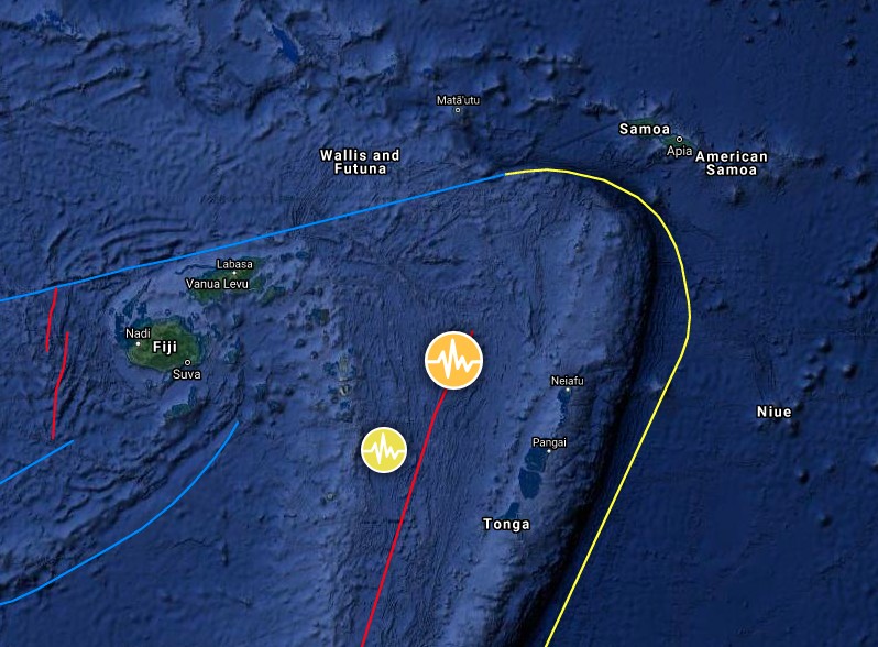
Image credit: TW/SAM, Google
The USGS issued a green alert for shaking-related fatalities and economic losses. There is a low likelihood of casualties and damage.
Overall, the population in this region resides in structures that are highly vulnerable to earthquake shaking, though some resistant structures exist. The predominant vulnerable building types are unknown/miscellaneous types and wood construction.
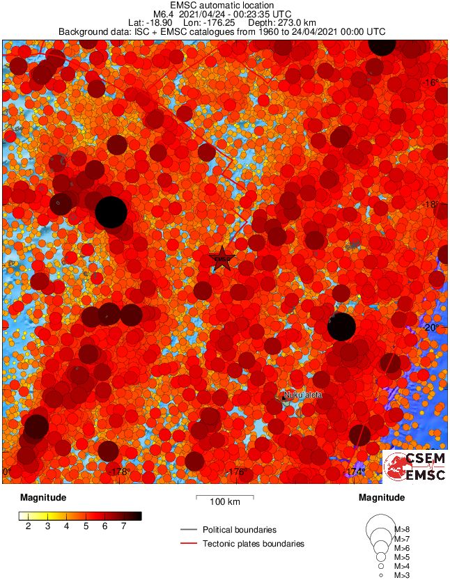
Regional seismicity
I'm a dedicated researcher, journalist, and editor at The Watchers. With over 20 years of experience in the media industry, I specialize in hard science news, focusing on extreme weather, seismic and volcanic activity, space weather, and astronomy, including near-Earth objects and planetary defense strategies. You can reach me at teo /at/ watchers.news.
Commenting rules and guidelines
We value the thoughts and opinions of our readers and welcome healthy discussions on our website. In order to maintain a respectful and positive community, we ask that all commenters follow these rules.