
Deep M6.0 earthquake hits south of the Fiji Islands
A deep earthquake registered by the USGS as M6.0 struck south of the Fiji Islands at 07:43 UTC on February 22, 2026. The agency reported a depth of 654 km (406 miles). The EMSC is reporting the same magnitude and depth. There was no tsunami warning issued.
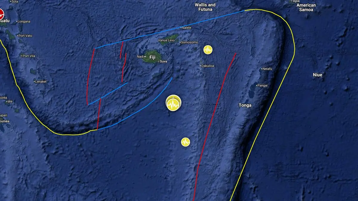
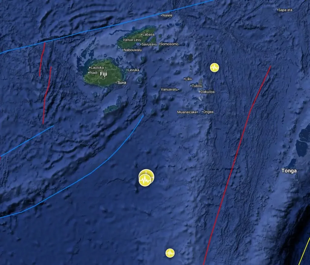
Epicenter of M6.0 earthquake south of the Fiji Islands on February 22, 2026. Credit: TW/SAM, Google
The epicenter was located 416 km (259 miles) S of Levuka (population 8 360) and 423 km (263 miles) SSE of Suva (population 77 300), Fiji.
There was no tsunami warning issued for this earthquake.
The USGS issued a Green alert for shaking-related fatalities and economic losses. There is a low likelihood of casualties and damage.
Overall, the population in this region resides in structures that are vulnerable to earthquake shaking, though resistant structures exist. The predominant vulnerable building types are informal (metal, timber, GI, etc.) and miscellaneous construction.
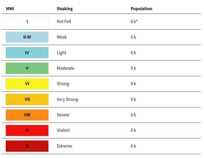
Estimated population exposure to earthquake shaking
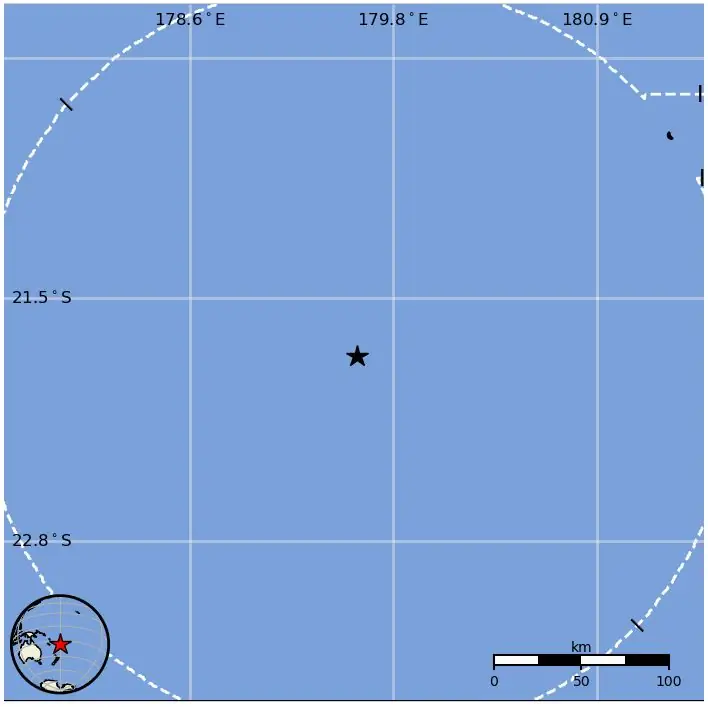
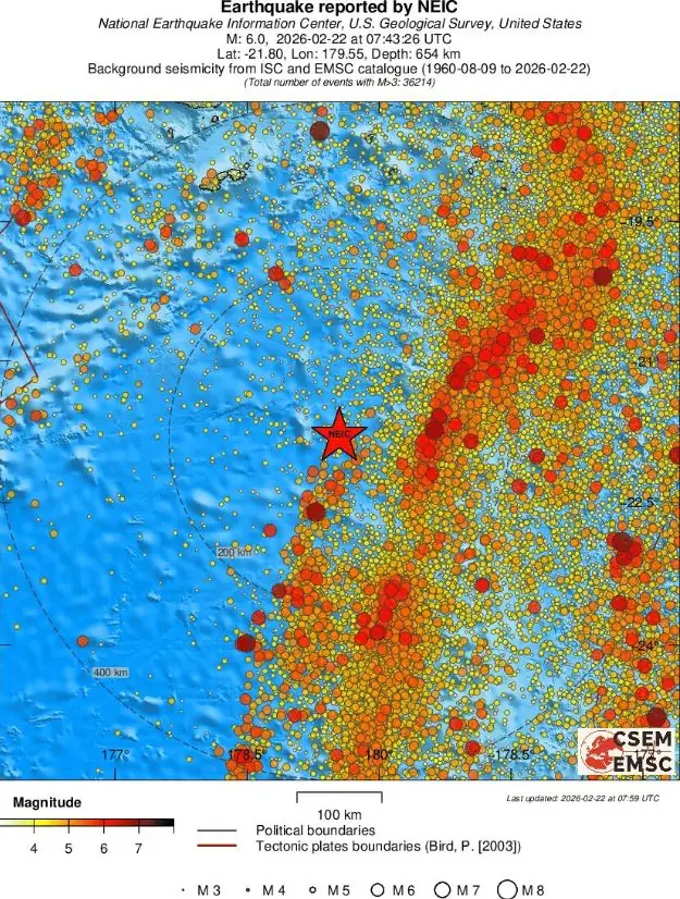
Regional seismicity
References:
1 M6.0 earthquake south of the Fiji Islands – USGS – February 22, 2026
2 M6.0 earthquake south of the Fiji Islands – EMSC – February 22, 2026

Teo Blašković founded The Watchers in 2011 and edited it until 2026, covering seismic and volcanic activity, extreme weather, space weather and near-Earth objects. Articles on this page are his archive.
Published in the last 24 hours
- In September 1859, a solar storm lit up the night sky so brightly that gold miners in the Rocky Mountains woke up after midnight and started cooking breakfast, convinced the aurora glowing over their camp was the sunrise Epicenter
- A patch of warm Pacific water that could become the strongest El Niño in more than 70 years sits thousands of miles from any American town, yet it is already the main reason NOAA expects a wetter winter across the South and a milder one across the North
