
Winter ends with an all-out snowstorm for parts of north-central U.S., up to 51 cm (20 inches) of snow likely
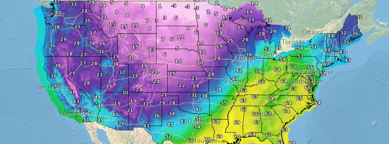
Image credit: NWS
Just as the winter season in the U.S. officially ends and spring begins, an all-out snowstorm is set to deliver a final blow to parts of the north-central region– particularly the central Rockies, northern Plains, and Upper Midwest. The blizzard-like conditions are expected to make travel difficult, if not, impossible, in some areas. Up to 51 cm (20 inches) of snow is also predicted.
Strong winds and heavy snowfall will cause a blizzard to unfold over parts of Wyoming, South Dakota, Nebraska, and Colorado, said AccuWeather meteorologists.
The National Weather Service (NWS) has issued blizzard warnings for western Nebraska and southeastern Wyoming, as "a developing low-pressure system to the south and strong Canadian high pressure to the north generating strong northeasterly winds."
NWS also noted that this should lead to drifting snow and whiteout conditions in these areas. As a result, traffic may be brought to a standstill.
#Blizzard warnings go into effect Thursday AM in the High Plains, where #snow and wind gusts up to 50 mph could produce whiteout conditions. https://t.co/quedLIEHdz pic.twitter.com/rpba5xpX8g
— The Weather Channel (@weatherchannel) March 18, 2020
AccuWeather meteorologists are expecting an all-out blizzard to unfold over portions of Wyoming, South Dakota, Nebraska and Colorado due to strong winds and a heavy rate of snow that can bring travel to a standstill:https://t.co/loTTzJf6Wx pic.twitter.com/GtqndJNRMx
— AccuWeather (@breakingweather) March 17, 2020
The areas that are expected to be hit by the blizzard include Cheyenne, Wyoming; Scottsbluff and Valentine, Nebraska; Boulder, Colorado; and Rapid City and Pierre, South Dakota.
Moderate to heavy snow will fall farther west, over the mountains in Wyoming and Colorado, but could also extend northeastward to the Upper Peninsula of Michigan.
According to AccuWeather meteorologist Brandon Buckingham, 8 to 15 cm (3 to 6 inches) of snow is forecast to fall over parts of the central Rockies, central and northern Plains, and the upper Great Lakes region.
A cold front will usher in colder temperatures late this week for areas east of the Rockies: https://t.co/wjHRn4noVH pic.twitter.com/CYNJq6Kd9J
— The Weather Channel (@weatherchannel) March 18, 2020
15 to 30 cm (6 to 12 inches) of snow is likely for parts of Colorado, Wyoming, and western Nebraska, as well as a portion of the Upper Peninsula of Michigan.
Buckingham also noted that up to 51 cm (20 inches) of snow is possible from southeastern Wyoming to northeastern Colorado and the Nebraska Panhandle.
Blizzard Warning in effect for the Nebraska panhandle & part of NW Nebraska Thursday morning to Friday morning.
Winter Storm Warning in effect for part of N Central & W Nebraska.
Winter Weather Advisory in effect for part of Central & Western Nebraska. pic.twitter.com/w5WGSNI62d— 1011 NOW Weather (@1011NOWweather) March 17, 2020
The winter storm over this past weekend brought 6 to 12 inches of snow to many lower elevation areas. Blizzard conditions and cold temperatures were also observed. Get all the details here: https://t.co/DEblRRlzpN #mtwx pic.twitter.com/owUUHSG0rk
— NWS Great Falls (@NWSGreatFalls) March 16, 2020
The snowstorm will start as rain in parts of Minnesota, Wisconsin, Michigan, northwestern Iowa, southeastern South Dakota, and northeastern Nebraska. However, as cooler air arrives, snowflakes will also begin to accumulate on green areas and then road surfaces, as temperatures are forecast to get colder by Thursday night.
After the storm, temperatures are expected to get even more piercing cold, with AccuWeather forecasting it to hit below freezing in much of the areas that receive snow, as well as areas farther north– over the Rockies and northern Plains. Furthermore, wet and slushy surfaces may also become icy.
A Potent Winter Storm expected Wed eve thru Fri. Expect road hazards w/ packed & blowing snow, reduced visibilities. Also, hazardous conds 4 hikers/snowmobilers in the mtns & livestock/newborn calves, esp in blizzard conditions. Check our site 4 updates. #wywx #newx pic.twitter.com/JXg143ZB6P
— NWS Cheyenne (@NWSCheyenne) March 17, 2020
Snow & Wind expected across the area Wed night/Thu. These will combine over the plains Thu to bring near blizzard like conditions. Impacts to travel and outdoor activities expected. Continue to follow us for latest forecasts, highlights and info #cowx pic.twitter.com/l1D01vpXo3
— NWS Boulder (@NWSBoulder) March 18, 2020
Commenting rules and guidelines
We value the thoughts and opinions of our readers and welcome healthy discussions on our website. In order to maintain a respectful and positive community, we ask that all commenters follow these rules.