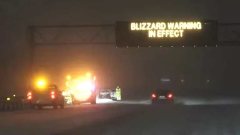
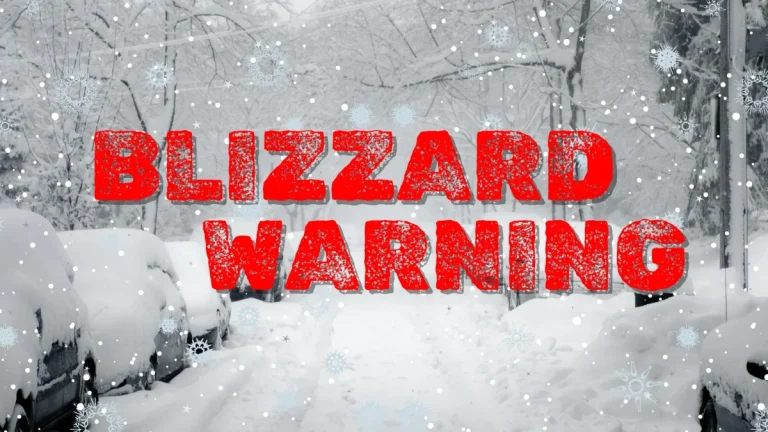
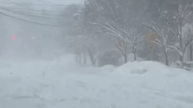
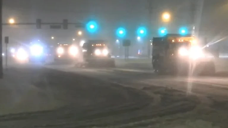
• Late-season snowstorm shuts down I-80 in southern Wyoming

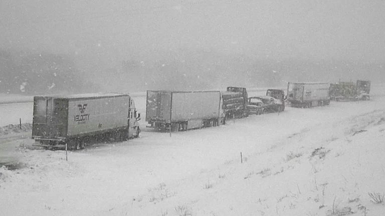
    A late-season winter storm brought heavy snow and hazardous travel conditions to southern Wyoming on May 18, 2026, shutting down sections of Interstate 80 and other roads. The National Weather Service (NWS) office in Cheyenne issued winter storm and blizzard warnings for parts of Carbon and Albany counties, while the Wyoming Department of Transportation (WYDOT) reported road closures, reduced visibility, and winter travel hazards across affected corridors.

  • Historic March blizzard buries parts of Michigan’s Upper Peninsula under up to 132 cm (52 inches) of snow

    A late-season blizzard affected northern Michigan between March 15 and 17, 2026, dropping up to 132.1 cm (52 inches) of snow in parts of the Upper Peninsula and breaking snowfall records at the National Weather Service office in Marquette. Governor Gretchen Whitmer declared a state of emergency on March 17 for seven counties in the Upper Peninsula and northern Lower Peninsula as heavy snow, ice, and strong winds disrupted travel and power service.

  • Major winter storm brings blizzard conditions to Northern Plains and Great Lakes

    A major winter storm is affecting the Northern Plains and the western Great Lakes in the United States on March 15–16, bringing heavy snowfall, strong winds, and widespread blizzard conditions. Snowfall rates of up to 7.5 cm (3 inches) per hour and wind gusts of up to 95 km/h (60 mph) are forecast across parts of eastern South Dakota, Wisconsin, and Michigan as a strengthening low-pressure system moves toward southeastern Canada. Travel conditions are expected to become extremely dangerous across the affected region.

  • Blizzard Warnings issued for parts of South Dakota and Minnesota as heavy snow and strong winds threaten whiteout conditions

    Blizzard Warnings are in effect for parts of South Dakota and southwest Minnesota beginning late Saturday, March 14, 2026, as a major winter storm is forecast to bring heavy snow, blowing snow, ice in some areas, and wind gusts up to 80 to 90 km/h (50 to 55 mph). Forecasters warn that whiteout conditions could make travel extremely dangerous or impossible from Saturday night into Sunday, with some warning areas remaining under blizzard conditions into early Monday.

  • Near-zero visibility and multiple accidents reported on I-80 during extreme blizzard in New Jersey

    Multiple accidents and stranded vehicles were reported along Interstate 80 in northern New Jersey late on February 22 and into February 23 as a powerful Nor’easter brought blizzard conditions to the region. Authorities closed sections of the highway near Paterson while crews worked to remove vehicles and clear snow drifts amid winds exceeding 80 km/h (50 mph).

  • Severe winter storm paralyzes the New York metropolitan area, grounding flights and closing schools

    A major blizzard struck New York on February 22, 2026, prompting a citywide travel ban and declaration of a State of Emergency. Snowfall totals reached 35.6 cm (14.0 inches) on Staten Island and 23.6 cm (9.3 inches) in Central Park. All schools have been closed on February 23, as Mayor Zohran Mamdani declared the first traditional snow day since 2019. No remote instruction will take place, and all after-school activities are cancelled.

  • Blizzard Warnings issued for Delaware, New Jersey, New York and southern Connecticut February 22-23

    Blizzard Warnings were issued February 21, 2026, for parts of Delaware, New Jersey, New York, and southern Connecticut, with heavy snow and wind gusts up to 90 km/h (55 mph) forecast from February 22 through 18:00 EST on February 23. Snow accumulations of 15–50 cm (6–20 inches) are expected, with visibility potentially dropping below 0.4 km (0.25 miles) in blowing snow, producing whiteout conditions and dangerous travel.