
Short-lived earthquake swarm beneath Ruapehu volcano, New Zealand
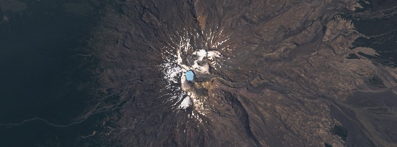
Featured image: Mt. Ruapehu on February 13, 2020. Credit: Copernicus EU/Sentinel-2, TW
A short-lived episode of volcanic earthquakes occurred beneath Mt. Ruapehu on February 22 and 23, 2020. The sequence now appears to be over. The Volcanic Alert Level, therefore, remains at Level 1. The last known eruption of this volcano took place in 2007 (VEI 1).
GeoNet seismographs detected a sequence of volcanic earthquakes beneath Mt. Ruapehu on February 22 and 23, with the larger events at the start of the episode approximately M1.5 and later, smaller events too small to be located by GeoNet’s earthquake detection-location system.
The seismic recordings indicate a source beneath the summit area, which is normal for volcanic earthquakes and volcanic tremor at Ruapehu, GNS Science Duty Volcanologist Agnes Mazot noted.
The Crater Lake (Te Wai ā-moe) temperature has been around 24 – 25 °C (75 – 77 °F) for the last few months.
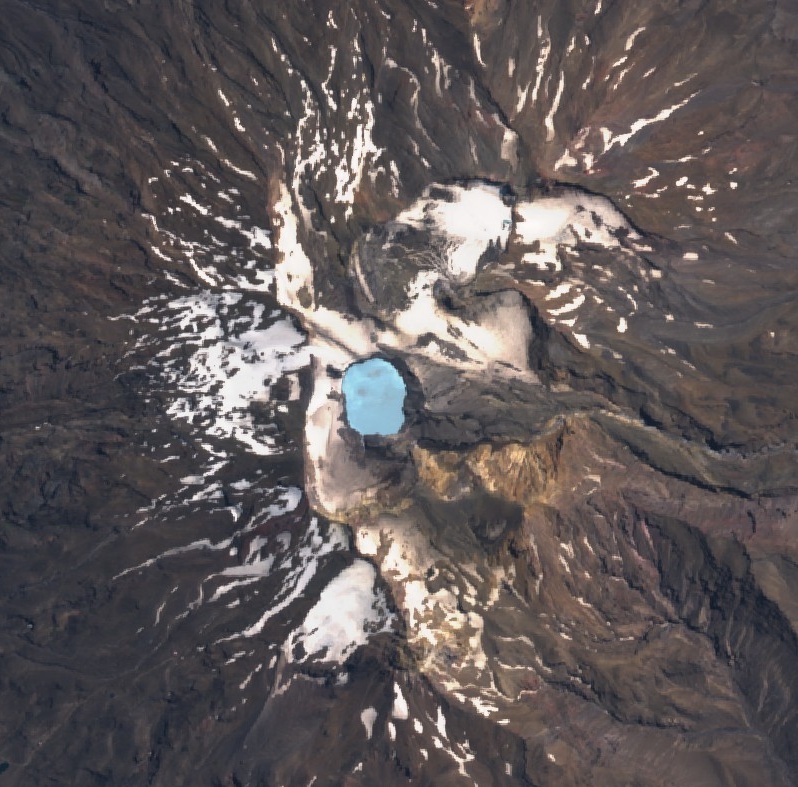
Mt. Ruapehu Crater Lake on February 13, 2020. Credit: Copernicus EU/Sentinel-2, TW
GeoNet monitors the volcano via a network of seismic and acoustic sensors, GPS receivers, sensors in the lake and visits to the lake area. These include gas flights over Ruapehu for measuring gas emission and a monitoring visit to Te Wai ā-moe to collect water and gas samples as weather allows.
"It is not unusual to observe volcanic earthquakes on Ruapehu and other episodes of increased seismic activity were observed during March 2018, April 2016 and September 2017. None of these resulted in a sustained increase in volcanic unrest," Mazot said.
The Volcanic Alert Level remains at Level 1 and the Aviation Colour Code at Green.
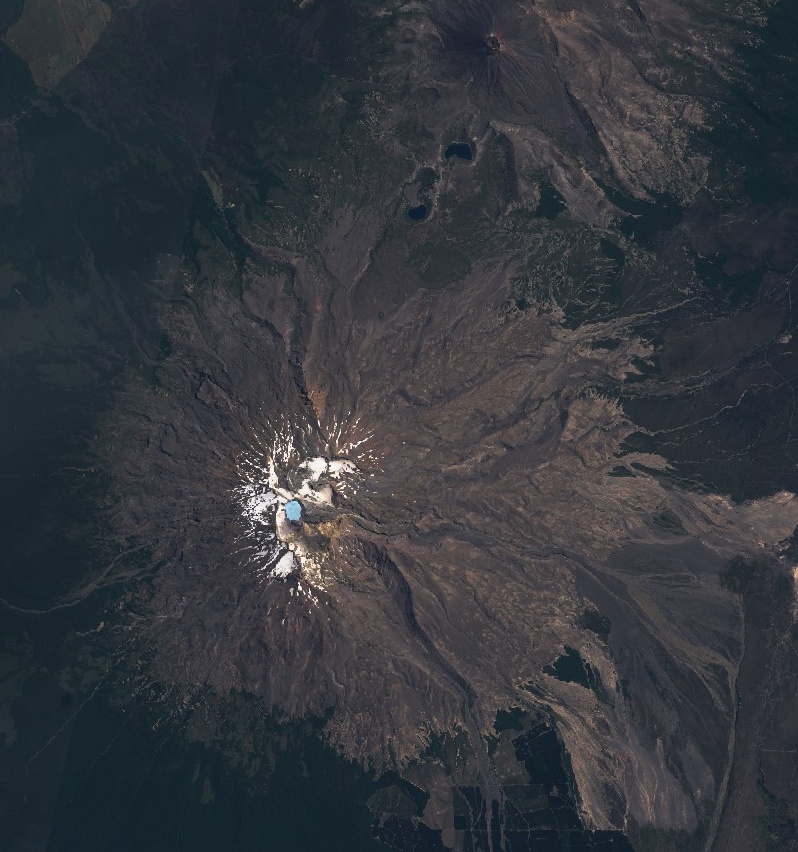
Mt. Ruapehu on February 13, 2020. Credit: Copernicus EU/Sentinel-2, TW
Geological summary
Ruapehu, one of New Zealand's most active volcanoes, is a complex stratovolcano constructed during at least four cone-building episodes dating back to about 200 000 years ago.
The 110 km3 (26.4 mi3) dominantly andesitic volcanic massif is elongated in a NNE-SSW direction and surrounded by another 100 km3 (24 mi3) ring plain of volcaniclastic debris, including the Murimoto debris-avalanche deposit on the NW flank.
A series of subplinian eruptions took place between about 22 600 and 10 000 years ago, but pyroclastic flows have been infrequent. A single historically active vent, Crater Lake, is located in the broad summit region, but at least five other vents on the summit and flank have been active during the Holocene.
Frequent mild-to-moderate explosive eruptions have occurred in historical time from the Crater Lake vent, and tephra characteristics suggest that the crater lake may have formed as early as 3 000 years ago. Lahars produced by phreatic eruptions from the summit crater lake are a hazard to a ski area on the upper flanks and to lower river valleys. (GVP)
I'm a dedicated researcher, journalist, and editor at The Watchers. With over 20 years of experience in the media industry, I specialize in hard science news, focusing on extreme weather, seismic and volcanic activity, space weather, and astronomy, including near-Earth objects and planetary defense strategies. You can reach me at teo /at/ watchers.news.
Commenting rules and guidelines
We value the thoughts and opinions of our readers and welcome healthy discussions on our website. In order to maintain a respectful and positive community, we ask that all commenters follow these rules.