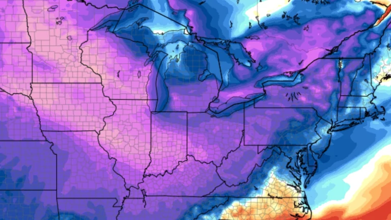
• Another Arctic blast forecast for the weekend as life-threatening cold continues across the Eastern U.S.

    Life-threatening cold and wind chills are forecast to continue across the eastern half of the Lower 48 during the final week of January into early February. Another surge of Arctic air is forecast to spread from the Plains into the East and Southeast between Friday and Saturday, January 30–31, bringing a renewed threat of additional record low temperatures, including across parts of Florida.
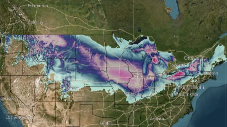
  • Potentially historic winter storm forecast to impact more than 30 states across the U.S.

    A potentially historic winter storm associated with the Polar Vortex is forecast to bring heavy snow, freezing rain, and dangerous cold across much of the United States from January 23 to 26, 2026. The system is expected to cause widespread travel disruptions, power outages, and hazardous conditions from Texas to the Northeast, with more than 200 million people under various National Weather Service warnings and watches.

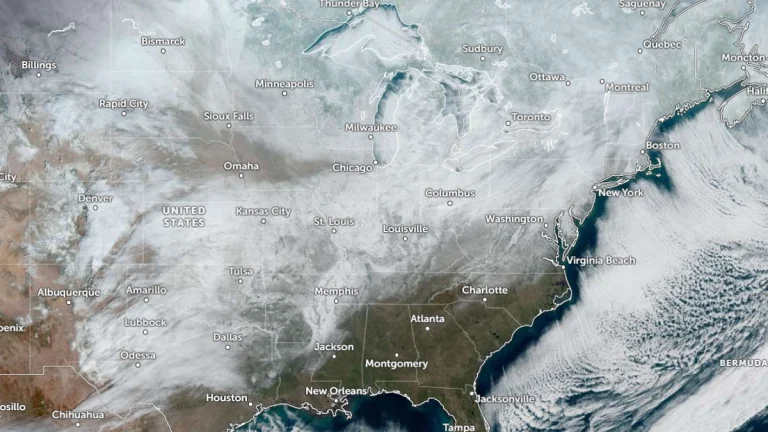
  • Extreme cold watches expand as Arctic outbreak spreads across central United States

    A large and prolonged outbreak of Arctic air is spreading across the United States, prompting extreme cold watches across much of the northern and central United States from Thursday, January 22, 2026, through Friday, January 24. This Arctic outbreak will bring one of the most dangerous cold spells in recent years, with the greatest threat lasting from Thursday night through early Saturday morning.

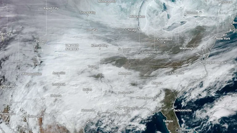
  • Nearly 40 million brace for severe weather from Great Lakes to Southern Plains through Easter weekend

    Nearly 40 million people from Texas to Michigan are under threat of severe weather as an amplifying trough begins affecting the central United States on Wednesday, April 16, 2025. The system is forecast to bring strong thunderstorms, heavy rainfall, and damaging winds, with the associated cold front expected to dominate weather conditions through Saturday, April 19, from the Southern Plains to the Great Lakes.

  • Widespread freezing rain and dangerous travel forecast from Midwest to Mid-Atlantic, U.S.

    A mix of freezing rain and sleet will develop across parts of the Midwest and northern Mid-Atlantic from Wednesday, February 5 through Thursday, February 6, 2025, as Arctic air lingers ahead of an approaching storm system. The greatest ice accumulation risks are expected in western Maryland, the West Virginia Panhandle, and Pennsylvania, where ice buildup may cause power outages and hazardous road conditions. Elsewhere, lighter freezing rain could still lead to travel disruptions across the Great Lakes and Ohio Valley.