
Cold front triggers severe weather and sharp cooling across parts of the Midwest
A strong cold front is sweeping southeast across the Great Lakes, Upper Midwest, and central Plains on September 3, 2025, bringing temperatures up to 25°C (45°F) below seasonal averages and triggering strong to severe thunderstorms.

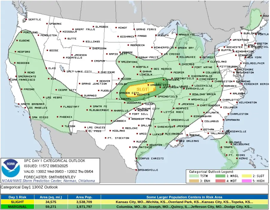
Temeratures forecast for United States at 13:00 EDT on September 4, 2025. Credit: NWS, The Watchers
A vigorous cold front is currently advancing southeastward across the Great Lakes, Upper Midwest, and central Plains, delivering a sharp transition to significantly cooler air.
Daytime highs across affected regions are forecast to remain well below early September normals, with northern Minnesota likely to see maximum temperatures in the 4–9°C (40s°F) range.
The broader northern Plains and Upper Great Lakes can expect highs between 10–20°C (50s–60s°F), roughly 15–25°C (27–45°F) below average.
In addition to the cold air advection, the front is triggering a band of showers and thunderstorms along its leading edge. The U.S. Storm Prediction Center (SPC) has identified portions of the central Plains for a slight risk of severe thunderstorms this afternoon and evening.
The primary hazards are damaging wind gusts and very large hail, with an isolated tornado not ruled out.
As the front continues eastward, thunderstorms are forecast to expand into the Ohio Valley, central Appalachians, interior Northeast, and Mid-Atlantic late Wednesday into Thursday, September 4.
Forecast models indicate that increasing atmospheric moisture and surface temperatures ahead of the front will support another round of strong to marginally severe storms in these areas on Thursday afternoon.
A second cold front is forecast to enter the northern and central Plains and Upper Midwest late Thursday into Friday, bringing a reinforcing shot of unseasonably cool air. This system may also be accompanied by another round of precipitation, though confidence in timing and intensity remains limited at this stage.
Farther south, deep tropical moisture pooled along a nearly stationary frontal boundary draped across southern Florida is forecast to sustain multiple rounds of showers and thunderstorms over the coming days.
Given the high precipitable water content, localized clusters of storms may produce heavy rainfall. While the risk of widespread flash flooding remains low, minor flooding is possible in poor drainage areas and on urban roadways during periods of intense rainfall.
Across the southwestern United States, strong surface heating combined with increasing monsoonal moisture will support daily development of scattered to numerous thunderstorms through the end of the week.
Storms are expected to bring bursts of heavy rain, which may result in isolated to scattered flash flooding, particularly across southern Arizona, slot canyons, arroyos, steep terrain, and recent burn scar zones.
Meanwhile, a significant late-season heat wave continues across interior portions of the Pacific Northwest, driven by a persistent ridge of upper-level high pressure. High temperatures are forecast to reach 35–40°C (mid-90s to low 100s°F) today and Thursday, with potential to challenge or exceed daily and monthly high temperature records.
In response, the National Weather Service (NWS) has issued Excessive Heat Warnings and Heat Advisories for portions of northern Oregon, eastern Washington, northern Idaho, and northwestern Montana.
I'm a dedicated researcher, journalist, and editor at The Watchers. With over 20 years of experience in the media industry, I specialize in hard science news, focusing on extreme weather, seismic and volcanic activity, space weather, and astronomy, including near-Earth objects and planetary defense strategies. You can reach me at teo /at/ watchers.news.
Commenting rules and guidelines
We value the thoughts and opinions of our readers and welcome healthy discussions on our website. In order to maintain a respectful and positive community, we ask that all commenters follow these rules.