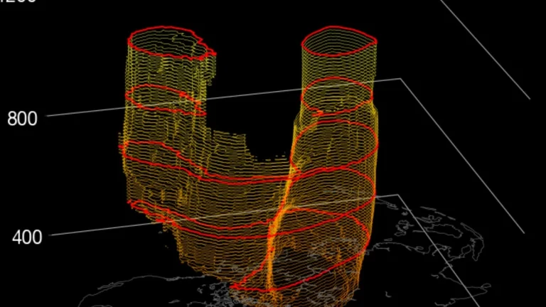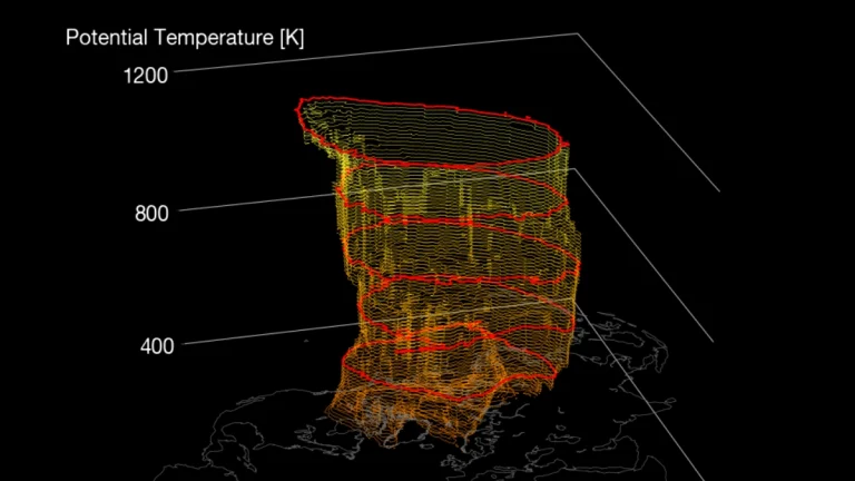
Polar vortex split to impact Northern Hemisphere weather in March 2026
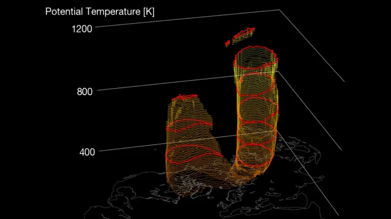
Another warming of the Arctic stratosphere is now underway, with the polar vortex forecast to undergo a final split in March 2026. The zonal mean wind reversal around 60°N and 10 hPa is expected between February 28 and March 1, with its impacts propagating into the troposphere, likely shifting weather patterns over Europe and North America.