Firefighter dies while battling wildfire in Annapolis County, Nova Scotia
A 40-year-old firefighter lost his life after a sudden medical emergency while battling a wildfire in Moschelle in Annapolis County on May 21, 2026.


A 40-year-old firefighter lost his life after a sudden medical emergency while battling a wildfire in Moschelle in Annapolis County on May 21, 2026.

The Northern Tornadoes Project confirmed Saskatchewan’s first tornado of 2026 after an EF0 landspout touched down near Disley, west of Regina, on May 22, while additional surveys in Ontario and Alberta raised Canada’s confirmed tornado count to 11 this year.
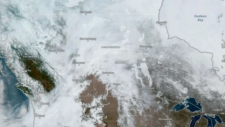
A major spring storm developing over Alberta will bring widespread damaging winds, rain, and localized snowfall across parts of Alberta and Saskatchewan beginning Wednesday night, May 13, 2026, Environment and Climate Change Canada (ECCC) warns.
Vancouver reached 23.9°C (75°F) on Monday, May 4, 2026, breaking the city’s daily maximum temperature record of 22.2°C (72°F) set in 1898. Multiple communities across British Columbia also set daily temperature records.

A bright fireball entered the atmosphere above Vancouver Island, Canada, at 07:12 UTC on April 29, 2026, before fragmenting above the Pacific Ocean west of Yuquot. NASA placed the object’s speed at 29.5 km/s, or about 106 200 km/h (65 900 mph), and its final visible altitude at 62 km (38.6 miles).

A reactivated landslide in Old Fort, northeastern British Columbia, Canada, on April 20, 2026, prompted authorities to issue an evacuation order affecting approximately 150 residents. The movement damaged critical infrastructure, including the closure of the main access road, while Emergency Support Services coordinated evacuations and opened a reception center. Rainfall forecast over the next 48 hours introduces additional risk for slope instability.
A major late-season winter storm is forecast to impact northern Manitoba, Canada, beginning Wednesday evening, April 22, 2026, bringing 30–50 cm (12–20 inches) of snow, freezing rain, and strong winds. The system will produce rain or freezing rain across central regions before transitioning to heavy snow through Saturday, creating hazardous travel conditions and increasing the risk of power outages.
A cross-country storm is forecast to affect multiple regions of Canada from March 23 through midweek, bringing snow to western and central areas before spreading mixed precipitation and stronger impacts into parts of Ontario, Quebec, and Atlantic Canada. The highest-confidence snowfall totals, reaching 20 to 40 cm (8 to 16 inches) in parts of Newfoundland and elsewhere in Atlantic Canada, are expected to create hazardous travel conditions, reduced visibility, and local transport disruptions.
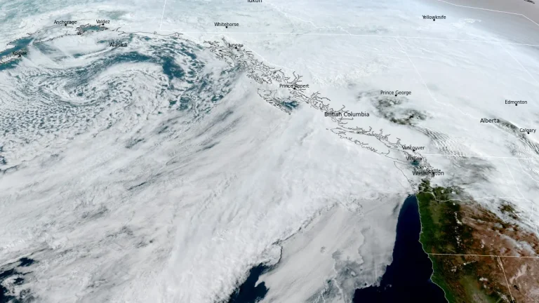
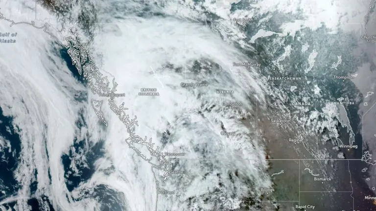
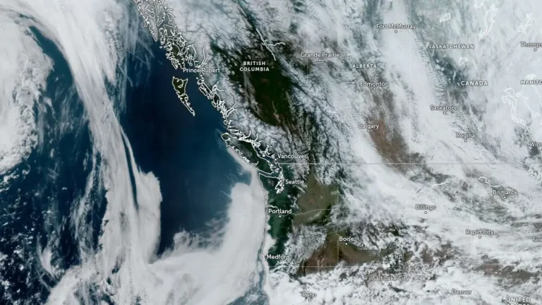
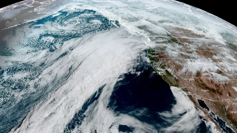
A prolonged atmospheric river is affecting British Columbia this week, with Flood Watch, multiple rainfall warnings, and Special Weather Statements in effect across parts of the province. Some coastal areas could receive up to 400 mm (15.7 inches) of rain, while heavy rain on existing snowpack is increasing the risk of flooding, washouts, landslides and dangerous avalanche conditions.

Canada recorded its lowest temperature in decades during winter 2025–26, with −55.7°C (−68°F) measured at Braeburn, Yukon, on December 23. Seasonal snowfall reached 446 cm (176 inches) in Gander West, Newfoundland and Labrador, among the highest totals reported nationwide this winter, while Toronto registered its snowiest single day on record on January 25, when 46 cm (18 inches) fell at Toronto Pearson International Airport. The season, spanning December 1, 2025, through February 28, 2026, saw a 76.7°C (138°F) national temperature range, repeated Arctic air outbreaks, and major winter storms that disrupted transportation across central and eastern Canada.