
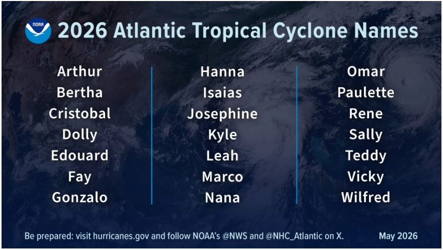
NOAA forecasts 8-14 named storms in below-normal 2026 Atlantic hurricane outlook
NOAA’s National Weather Service (NWS) forecast a 55% chance of a below-normal 2026 Atlantic hurricane season, with 8 to 14 named storms, 3 to 6 hurricanes, and 1 to 3 major hurricanes between June 1 and November 30.
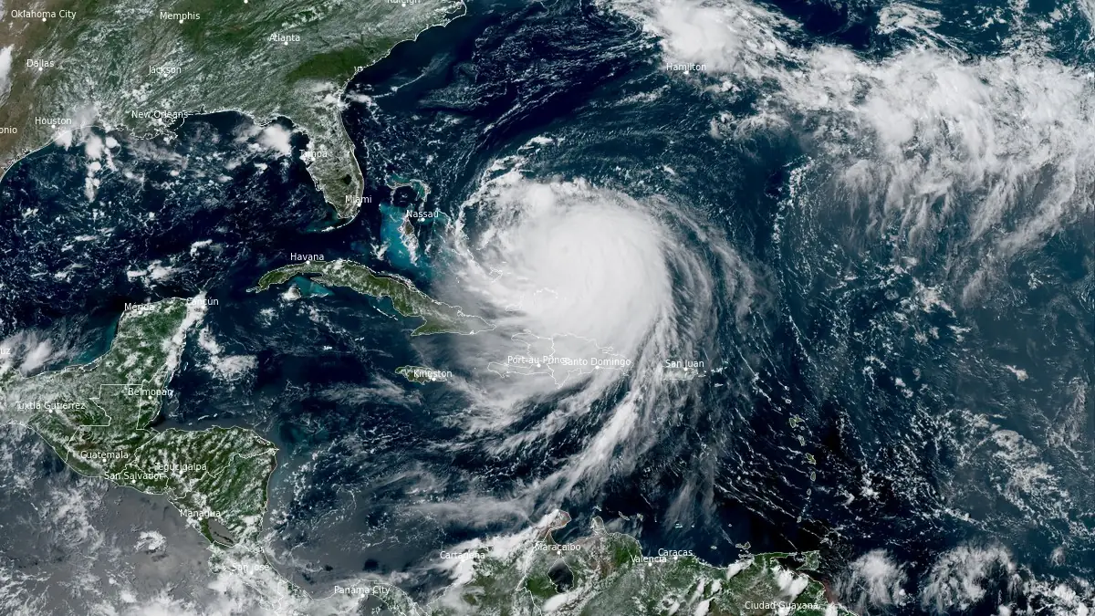
Satellite image of Hurricane Erin at 18:50 UTC on August 18, 2025. Credit: NOAA/GOES-East, RAMMB/CIRA, The Watchers
- The outlook gives a 35% probability of near-normal activity and a 10% probability of above-normal activity, with a 70% confidence in the forecast ranges.
- An average Atlantic season produces 14 named storms, including 7 hurricanes and 3 major hurricanes. Named storms have winds of at least 63 km/h (39 mph), hurricanes reach at least 119 km/h (74 mph), and major hurricanes are Category 3 or higher, with winds of at least 179 km/h (111 mph).
The below-normal forecast this year reflects competing climate factors — El Niño, warmer ocean temperatures, and weaker trade winds. El Niño is expected during the hurricane season and tends to suppress Atlantic tropical storm and hurricane development. At the same time, Atlantic Ocean temperatures are expected to remain slightly warmer than normal and trade winds weaker than average, supporting higher activity.
El Niño is likely to emerge soon, with an 82% chance during May-July 2026, and continue through Northern Hemisphere winter 2026-27, with a 96% chance during December 2026-February 2027, according to the Climate Prediction Center report issued on May 14.
“Although El Niño’s impact in the Atlantic Basin can often suppress hurricane development, there is still uncertainty in how each season will unfold,” said Ken Graham, director of NOAA’s National Weather Service. “That is why it’s essential to review your hurricane preparedness plan now. It only takes one storm to make for a very bad season.”
The National Hurricane Center is adding new communication and forecast tools into use before the season begins. Once storms form, the center will use an improved tropical cyclone forecast cone that adds tropical storm and hurricane watches and warnings for inland areas of the continental United States, Hawaii, Puerto Rico, and the U.S. Virgin Islands. We’ll also see a test of an experimental cone that shows uncertainty in both storm direction and timing.
NOAA’s Atlantic Oceanographic and Meteorological Laboratory (AOML) will be using machine learning this year to quality-control data collected from tail Doppler radar on NOAA Hurricane Hunter aircraft. This approach reportedly gathers more than 25% more meteorological data than the current method and produces more high-quality data to support storm structure and wind analysis.
Data from small uncrewed aircraft systems (sUAS) will also be integrated into NOAA’s hurricane forecast model during the 2026 season. Scientists from the Cooperative Institute for Marine and Atmospheric Studies (CIMAS) and AOML determined that incorporating sUAS data into NOAA’s Hurricane Analysis and Forecast System (HAFS) can improve hurricane intensity forecast accuracy by 10%.
The season also brings new tools for rainfall and inland flooding, two hazards that often continue after tropical systems move ashore.
NOAA’s Office of Water Prediction high-resolution Flood Inundation Mapping (FIM) services already cover 60% of the U.S. population and are planned to expand to nearly 100% by late September 2026. Meanwhile, the Weather Prediction Center launched the experimental Urban Rain Rate Dashboard, which shows the probability of extreme rainfall a week in advance for more than 60 U.S. cities.
There are currently no tropical cyclones in the Atlantic, and no tropical cyclone formation is expected during the next 7 days for the North Atlantic, Caribbean Sea, and Gulf of America.
References:
1 NOAA predicts below-normal 2026 Atlantic hurricane season – NOAA – May 21, 2026
2 NOAA 2026 Atlantic Hurricane Season Outlook – NWS/CPC – May 21, 2026
I'm a dedicated researcher, journalist, and editor at The Watchers. With over 20 years of experience in the media industry, I specialize in hard science news, focusing on extreme weather, seismic and volcanic activity, space weather, and astronomy, including near-Earth objects and planetary defense strategies. You can reach me at teo /at/ watchers.news.
Commenting rules and guidelines
We value the thoughts and opinions of our readers and welcome healthy discussions on our website. In order to maintain a respectful and positive community, we ask that all commenters follow these rules.