
Sharp April cooldown brings hard freeze threat to Colorado’s Front Range urban corridor this weekend
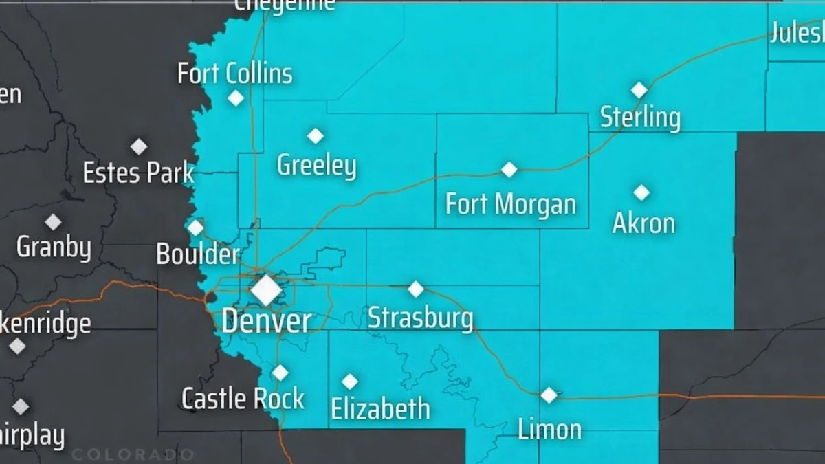
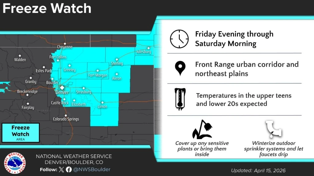
Colorado’s Front Range urban corridor and northeast plains face a likely hard freeze Friday night into Saturday morning, April 18, 2026, as a spring storm delivers a sharp temperature drop and light snow. A Freeze Watch is in effect due to the risk of prolonged subfreezing temperatures across the region.
Colorado Freeze Watch area for April 17-18, 2026. Credit: NWS/Boulder
A hard freeze is likely across Colorado’s Front Range urban corridor and northeast plains from Friday evening through Saturday morning, April 18, as a late-season cold front moves through the region and brings a sharp drop in temperatures.
The National Weather Service (NWS) Denver/Boulder office has issued a Freeze Watch for the Front Range urban corridor and northeast plains due to the expected duration of subfreezing temperatures. Overnight lows are forecast to fall to between -8 and -4°C (18-25°F), cold enough to damage early-season vegetation and affect exposed outdoor plumbing and irrigation systems.
The cold air will arrive behind a strong cold front expected late Thursday night into Friday. According to the NWS Denver/Boulder Area Forecast Discussion, much colder temperatures and snow are expected Friday as a notably cold air mass moves into the region, supporting much colder surface temperatures and increasing confidence in a hard freeze Friday night.
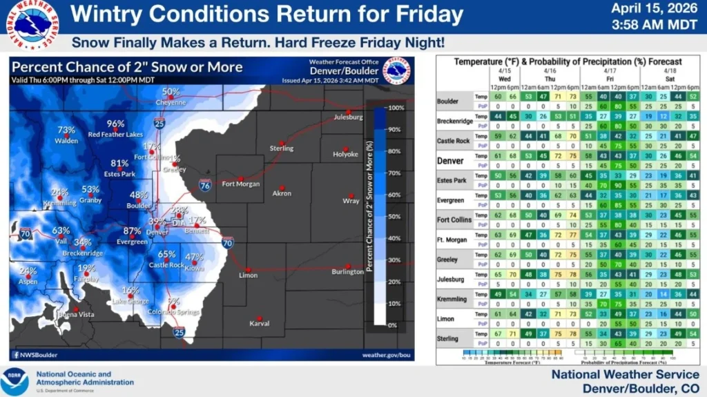
Light snow is expected across much of the Front Range and I-25 corridor on Friday, with the highest accumulations likely in the foothills and mountains. Most lower-elevation urban areas are expected to see light accumulations, but roads could become slick during periods of heavier snow.
The Weather Prediction Center (WPC) meteorologists said a Pacific system moving inland across the western United States will bring late-season snow to the Cascades, northern Rockies, and northern Plains through Thursday. This same system is driving colder air southward into Colorado.
The expected duration of temperatures below 0°C (32°F) raises the risk of damage to budding trees, gardens, and other freeze-sensitive vegetation. Above-ground sprinkler systems, irrigation lines, and exposed pipes could also be vulnerable if left unprotected.
Residents in the watch area should protect sensitive plants, drain or cover exposed irrigation components, and prepare for colder travel conditions on Friday and early Saturday.
Colder temperatures are expected to be short-lived in the region, according to the latest GFS model run. The cold air is forecast to spread east from the Rockies and Plains into the central U.S. late this week, then reach the Midwest and Great Lakes over the weekend into April 19-20.
It is then expected to push into parts of the Mid-Atlantic and Northeast by April 20-21, with the strongest negative temperature anomalies focused from the Great Lakes into the Northeast.
References:
1 Area Forecast Discussion – NWS Denver/Boulder – April 15, 2026
2 URGENT WEATHER MESSAGE – Freeze Watch – NWS/Denver – April 15, 2026
3 Short Range Forecast Discussion – NWS/WPC – April 15, 2026
I'm a dedicated researcher, journalist, and editor at The Watchers. With over 20 years of experience in the media industry, I specialize in hard science news, focusing on extreme weather, seismic and volcanic activity, space weather, and astronomy, including near-Earth objects and planetary defense strategies. You can reach me at teo /at/ watchers.news.
Commenting rules and guidelines
We value the thoughts and opinions of our readers and welcome healthy discussions on our website. In order to maintain a respectful and positive community, we ask that all commenters follow these rules.