
Deep M6.9 earthquake hits off the west coast of Ogasawara Islands, Japan
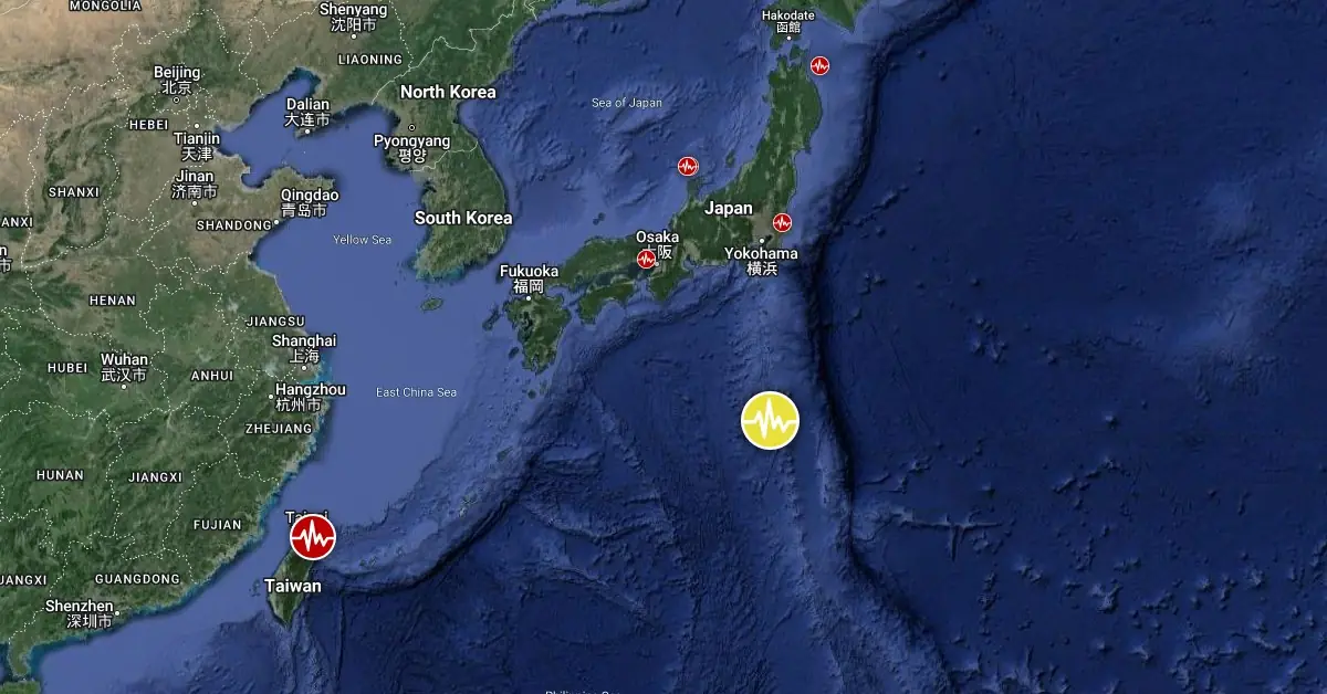
Image credit: TW/SAM, Google
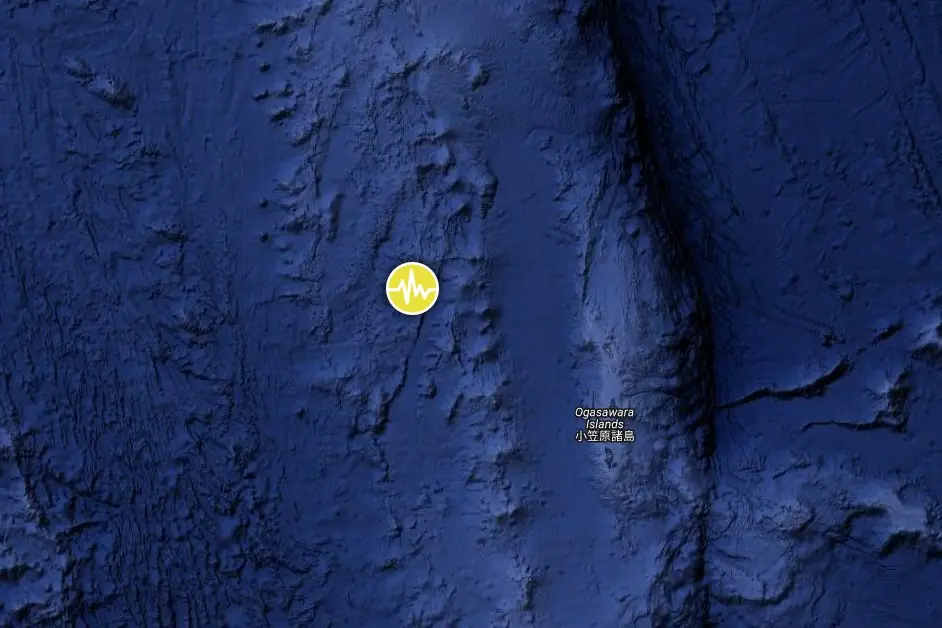
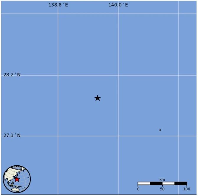
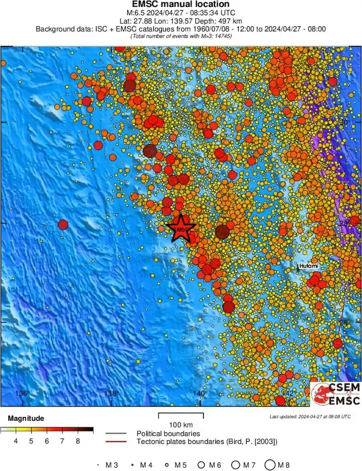
A very strong earthquake registered by the Japan Meteorological Agency (JMA) as M6.9 hit off the west coast of Ogasawara Islands, Japan at 08:35 UTC (17:35 JST) on April 27, 2024. The agency is reporting a depth of 540 km (335 miles). USGS is reporting M6.5 at a depth of 503 km (312 miles); EMSC M6.5 at a depth of 497 km (308 miles).
The epicenter was located 724.4 km (450.1 miles) SSE of Kushimoto, Wakayama, and 803.5 km (499.2 miles) S of Shizuoka, Japan.
Based on all available data, there is no tsunami threat from this earthquake, NWS PTWC said.
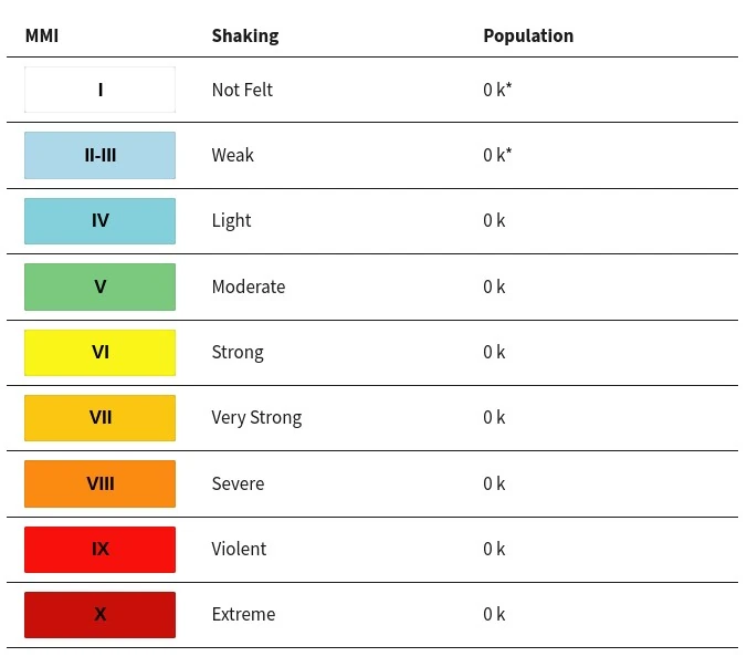
The USGS issued a Green alert for shaking-related fatalities and economic losses. There is a low likelihood of casualties and damage.
Overall, the population in this region resides in structures that are resistant to earthquake shaking, though vulnerable structures exist. The predominant vulnerable building types are heavy wood frame and reinforced/confined masonry construction.
Estimated population exposure to earthquake shaking
Regional seismicity
I'm a dedicated researcher, journalist, and editor at The Watchers. With over 20 years of experience in the media industry, I specialize in hard science news, focusing on extreme weather, seismic and volcanic activity, space weather, and astronomy, including near-Earth objects and planetary defense strategies. You can reach me at teo /at/ watchers.news.
Commenting rules and guidelines
We value the thoughts and opinions of our readers and welcome healthy discussions on our website. In order to maintain a respectful and positive community, we ask that all commenters follow these rules.