
M6.1 earthquake hits Guatemala at intermediate depth
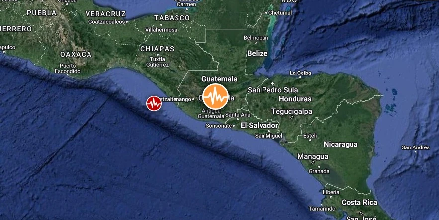
Image credit: TW/SAM, Google
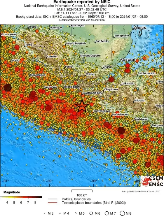
A strong earthquake registered by the USGS as M6.1 hit Guatemala at 05:52 UTC on January 27, 2024, (23:52 local time, January 26). The agency is reporting a depth of 108 km (67 miles). EMSC is reporting the same magnitude and depth.
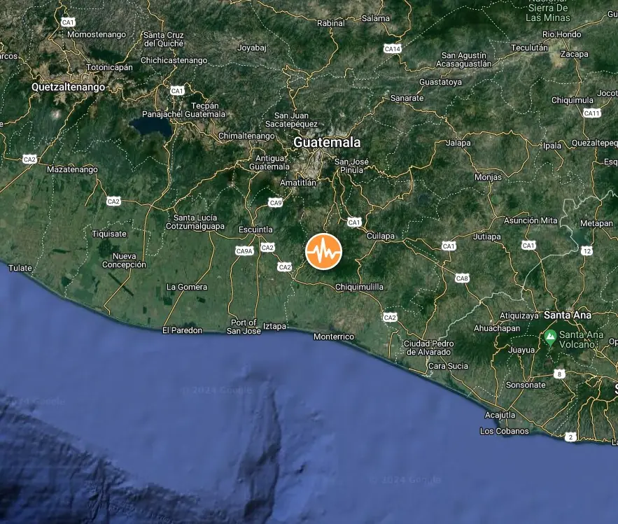
The epicenter was located 7.5 km (4.6 miles) NW of Taxisco (population 6 518), 11.9 km (7.4 miles) WNW of Guazacapán (population 18 855), 14.8 km (9.2 miles) WNW of Chiquimulilla (population 12 824), 27.4 km (17 miles) SW of Barberena (population 47 093), and 29.9 km (18.5 miles) SW of Cuilapa (population 41 359), Santa Rosa Department, Guatemala.
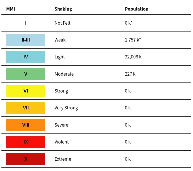
227 000 people are estimated to have felt moderate shaking and 22 008 000 light.
The USGS issued a Green alert for shaking-related fatalities and economic losses. There is a low likelihood of casualties and damage.
Overall, the population in this region resides in structures that are a mix of vulnerable and earthquake-resistant construction. The predominant vulnerable building types are mud wall and adobe block with concrete bond beam construction.
Recent earthquakes in this area have caused secondary hazards such as landslides that might have contributed to losses.
Guatemala’s emergency services agency CONRED reported that parts of a church’s facade in San Pablo Jocopilas fell, but there were no immediate reports of injuries.
Estimated population exposure to earthquake shaking
Selected cities exposed
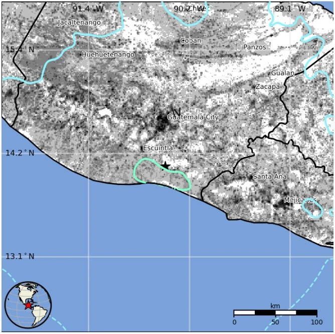
Regional seismicity
I'm a dedicated researcher, journalist, and editor at The Watchers. With over 20 years of experience in the media industry, I specialize in hard science news, focusing on extreme weather, seismic and volcanic activity, space weather, and astronomy, including near-Earth objects and planetary defense strategies. You can reach me at teo /at/ watchers.news.
Commenting rules and guidelines
We value the thoughts and opinions of our readers and welcome healthy discussions on our website. In order to maintain a respectful and positive community, we ask that all commenters follow these rules.