
Double the average: Snowiest winter on record in Billings, Montana
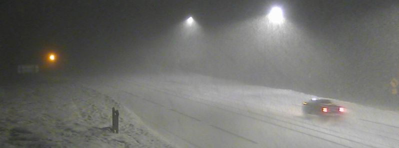
Image credit: Snowing in Montana's MacDonald Pass / Lewis Dortch
The winter of 2017/18 will go down in the record books as the snowiest on record in Billings, Montana's largest city.
After an additional 6.6 cm (2.6 inches) of snow on April 23, Billings officially reached its snowiest winter on record, with 269.5 cm (106.1 inches) of snow so far this winter through the afternoon of April 23.
The previous record for Billings took place in 2013-14 when 262.9 cm (103.5 inches) of snow fell. In an average winter, Billings sees only 140 cm (55.1 inches) of snow, making this winter’s total nearly double the seasonal average.
A persistent pattern of moisture into the Pacific Northwest has led to well above average moisture in this part of the country while leaving areas further south much drier and warmer. California, Nevada and the Four Corners states have all seen considerably less snow than average, according to the WeatherNation.
The snow will clear, though, WeatherNation said, adding that the rest of the week and into the weekend looks drier and warmer, with above average temperatures.
Several more inches of snow fell in Billings, Montana, on Monday, bringing the city's 2017-2018 seasonal snowfall total to 106.1 inches. This makes the 2017-2018 winter season their snowiest on record. However, warmer weather is in store this week: https://t.co/mZVQUPSUnk pic.twitter.com/H1ag79XLwh
— AccuWeather (@breakingweather) April 24, 2018
The extended stretch of above average heat will also lead to rapid snowmelt in the Washington Cascades and Bitterroots, where current snowpack is running well above normal for late April.
"Some rivers and streams are running high and flowing fast, and the accelerated rate of melting snow will cause water levels to rise even more this week,” AccuWeather Senior meteorologist Mike Doll said.
Streams, creeks and rivers in watersheds encompassing the mountains of southern British Columbia and the northern Washington Cascades are at the highest risk for overflowing their banks and threatening lives and property with flooding, he warns.
The above-average temperatures will end over the weekend when a vigorous, energetic storm system rolls into the Pacific Northwest and Northern California, renewing the threat of rain, thunder and hail.

Published in the last 24 hours
- Brownsville, Texas, on the Mexican border, had not seen measurable snow since 1895, until it fell on Christmas Eve 2004
- China's giant sinkholes shelter endangered Magnolia but leave isolated populations genetically vulnerable Epicenter
- How did one flash of lightning, lasting about seven seconds, stretch 829 km across five US states, beat the previous record by 61 km, and only be recognized as the longest ever measured nearly eight years later?
- Strong and shallow M6.4 earthquake hits Santa Cruz Islands, Solomon Islands
