
Heavy ice, sleet, and snow forecast across Upper Midwest and Great Lakes, multiple warnings and advisories issued
A late-season winter storm is forecast to impact the Upper Midwest and Great Lakes region from late April 1 through April 3, 2026, bringing widespread freezing rain, sleet, and snow across multiple states. Ice Storm Warnings, Winter Storm Warnings, Winter Weather Advisories, and Winter Storm Watches are in effect, with ice accumulations up to 10 mm (0.4 inches) and snowfall exceeding 45 cm (18 inches) in some areas, creating hazardous travel conditions and potential power outages.
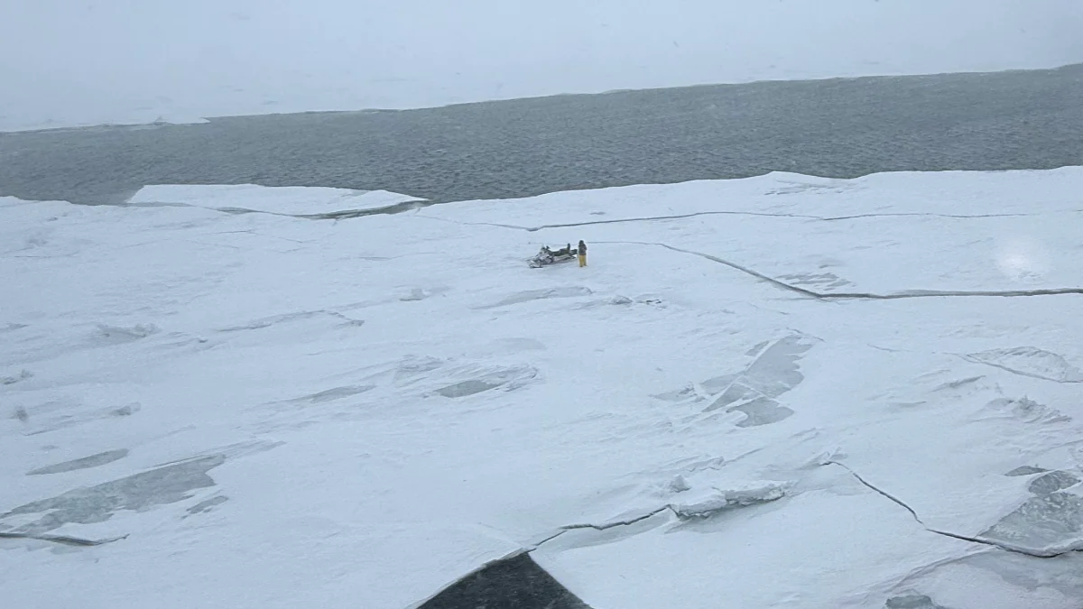
Image credit: USCG Great Lakes
A late-season winter storm is forecast to impact large parts of the Upper Midwest and Great Lakes region from late April 1 through April 3, producing a complex mix of freezing rain, sleet, and snow depending on local temperature profiles.
The most severe impacts are expected where prolonged freezing rain overlaps with gusty winds, increasing the likelihood of power outages and tree damage.
Ice accumulations are forecast to be the primary hazard across parts of Wisconsin and eastern Minnesota, while heavier snowfall and blowing snow will dominate across the Dakotas and portions of northern Minnesota. The system will also extend westward into Montana and northern Wyoming, where heavy snow is forecast at higher elevations.
Wisconsin
Ice Storm Warnings are in effect for central and north-central Wisconsin, including Portage, Wood, Waupaca, Marathon, Shawano, Langlade, Lincoln, and Menominee counties from midnight to between 10:00 and 13:00 CDT on April 2.
Significant icing is forecast, with ice accumulations between 5 and 10 mm (0.2 to 0.4 inches), along with snow and sleet up to 2.5 cm (1 inch). Winds may gust up to 55 km/h (35 mph). Power outages and tree damage are likely, and travel is expected to become hazardous, especially during the morning commute.
Winter Storm Warnings are in effect across northern and northeastern Wisconsin, including Vilas, Oneida, Forest, Florence, Marinette, and Oconto counties from 02:00 to 22:00 CDT on April 2.
Mixed precipitation is expected, with ice accumulations up to 5 mm (0.2 inches) and snow and sleet totals up to 5 cm (2 inches). Winds gusting to 50 km/h (30 mph) will contribute to difficult travel conditions and localized infrastructure impacts.
Winter Weather Advisories cover additional areas including Brown, Door, Kewaunee, Manitowoc, Outagamie, Winnebago, Calumet, and Waushara counties from late April 1 into the morning of April 2.
Light ice accumulations up to 5 mm (0.2 inches), combined with minor snow and sleet, will create slippery roads and hazardous travel conditions during the Thursday morning commute.
Minnesota
Winter Storm Warnings are in effect for southeastern Minnesota, including Dakota, Scott, Washington, Goodhue, Rice, and Le Sueur counties from midnight to 12:00 CDT on April 2.
Ice accumulations around 6 mm (0.25 inches), along with sleet up to 2 cm (0.75 inches) and minor snowfall, are expected. These conditions may result in hazardous travel and isolated power outages due to ice loading on trees and power lines.
Winter Weather Advisories extend across central, western, and northern Minnesota from late April 1 through April 2–3.
Snow accumulations generally range from 5 to 15 cm (2 to 6 inches), with locally higher amounts possible, while mixed precipitation in southern and central areas may produce light icing. Slippery roads and reduced visibility are expected across the advisory area.
North Dakota
Winter Weather Advisories are in effect across much of North Dakota through April 2, including central, southeastern, and southwestern regions.
Snow accumulations between 5 and 18 cm (2 to 7 inches) are expected, with winds gusting up to 55 km/h (35 mph). Blowing snow may reduce visibility and create hazardous travel conditions, particularly during commuting periods.
South Dakota
Widespread Winter Weather Advisories are in effect across central, north-central, and northeastern South Dakota through April 2–3.
Forecast conditions include snow accumulations of 2.5 to 15 cm (1 to 6 inches), along with ice accumulations up to 5 mm (0.2 inches). Winds gusting up to 55 km/h (35 mph) will contribute to blowing snow and reduced visibility.
Michigan
A Winter Weather Advisory is in effect for Clare and Osceola counties from 02:00 to 12:00 EDT on April 2.
Freezing rain is expected early, with ice accumulations up to 5 mm (0.2 inches), before transitioning to rain later in the day as temperatures rise. Hazardous travel conditions are expected during the morning commute.
Montana and northern Wyoming
A Winter Storm Watch is in effect from April 2 through April 4 across eastern Montana and adjacent northern Wyoming, including Carter, Fallon, Powder River, and Bighorn regions.
Snow accumulations between 12 and 50 cm (5 to 20 inches) are possible, especially in mountainous terrain, with wind gusts up to 70 km/h (45 mph). Blowing and drifting snow may significantly reduce visibility and make travel difficult or nearly impossible in exposed areas.
References:
1 Ice Storm Warning – NWS – April 1, 2026
2 Winter Storm Warning – NWS – April 1, 2026
3 Winter Storm Watch – NWS – April 1, 2026
4 Winter Weather Advisory – NWS – April 1, 2026

I am an Assistant Editor and Severe Weather & Science Journalist at The Watchers, specializing in real-time severe weather coverage, geophysical event reporting, and research-driven scientific analysis. You can reach me at rishav(at)watchers(.)news.
Commenting rules and guidelines
We value the thoughts and opinions of our readers and welcome healthy discussions on our website. In order to maintain a respectful and positive community, we ask that all commenters follow these rules.